Philpot Mountain is a summit in York County, Maine, located about 48.3 miles south of Chapman Inn in Bethel, Maine. It appears on the USGS Limerick topographic quadrangle.
Randall Mountain is a summit in York County, Maine, located about 47.7 miles south of Chapman Inn in Bethel, Maine. It appears on the USGS Limerick topographic quadrangle.
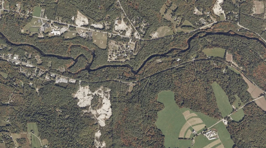
Black Brook is a stream in York County, Maine, located about 47.7 miles south of Chapman Inn in Bethel, Maine. It appears on the USGS Limington topographic quadrangle.
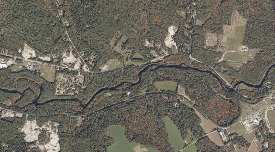
Little Ossipee River is a stream in York County, Maine, located about 47.1 miles south of Chapman Inn in Bethel, Maine. It appears on the USGS Limington topographic…
Watson Mountain is a summit in York County, Maine, located about 47.2 miles south of Chapman Inn in Bethel, Maine. It appears on the USGS Limerick topographic quadrangle.
Swetts Meadow is a swamp in York County, Maine, located about 46.9 miles south of Chapman Inn in Bethel, Maine. It appears on the USGS Limington topographic quadrangle.
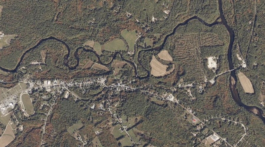
Hamlin Brook is a stream in York County, Maine, located about 46.6 miles south of Chapman Inn in Bethel, Maine. It appears on the USGS Limington topographic quadrangle.
Clark Mountain is a summit in York County, Maine, located about 46.7 miles south of Chapman Inn in Bethel, Maine. It appears on the USGS Limerick topographic quadrangle.
Emerson Brook is a stream in York County, Maine, located about 46.5 miles south-southwest of Chapman Inn in Bethel, Maine. It appears on the USGS West Newfield topographic…
Dearborn Mountain is a summit in York County, Maine, located about 46.2 miles south of Chapman Inn in Bethel, Maine. It appears on the USGS West Newfield topographic…