Plumbago Mountain is a summit in Oxford County, Maine, located about 9.4 miles north of Chapman Inn in Bethel, Maine. It appears on the USGS Puzzle Mountain topographic…
Rattlesnake Mountain is a summit in Oxford County, Maine, located about 9.4 miles south of Chapman Inn in Bethel, Maine. It appears on the USGS East Stoneham topographic…
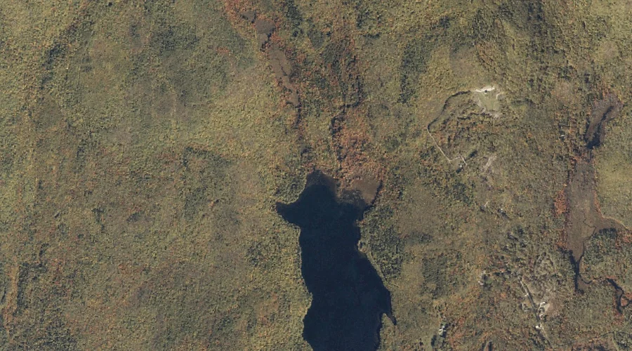
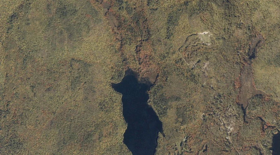
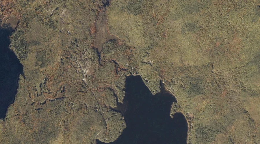
Gammon Brook is a stream in Oxford County, Maine, located about 9.4 miles west of Chapman Inn in Bethel, Maine. It appears on the USGS Gilead topographic quadrangle.
Miles Notch Brook is a stream in Oxford County, Maine, located about 9.5 miles northwest of Chapman Inn in Bethel, Maine. It appears on the USGS Old Speck…
Branch Brook is a stream in Oxford County, Maine, located about 9.5 miles north-northwest of Chapman Inn in Bethel, Maine. It appears on the USGS Puzzle Mountain topographic…
Isaiah Mountain is a summit in Oxford County, Maine, located about 9.5 miles south-southwest of Chapman Inn in Bethel, Maine. It appears on the USGS Speckled Mountain topographic…
Hannah Brook is a stream in Oxford County, Maine, located about 9.6 miles south-southwest of Chapman Inn in Bethel, Maine. It appears on the USGS East Stoneham topographic…
Goodwin Brook is a stream in Oxford County, Maine, located about 9.6 miles south-southwest of Chapman Inn in Bethel, Maine. It appears on the USGS East Stoneham topographic…
Meadow Brook is a stream in Oxford County, Maine, located about 9.6 miles south-southwest of Chapman Inn in Bethel, Maine. It appears on the USGS East Stoneham topographic…
Sargent Mountain is a summit in Oxford County, Maine, located about 9.7 miles north-northwest of Chapman Inn in Bethel, Maine. It appears on the USGS Old Speck Mountain…