 Aerial imagery: USGS National Map (public domain)
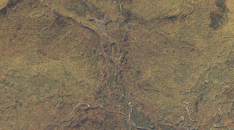
Miles Notch Brook — Streams 9.5 Miles NW of Chapman Inn
Oxford County, Maine · USGS Old Speck Mountain Quadrangle · GNIS 571288
Catalogued on the USGS Old Speck Mountain quadrangle in Oxford County, Maine, Miles Notch Brook — a stream — lies 9.5 miles northwest of Chapman Inn.
Landmark Profile
Classification & USGS reference
Catalogued under GNIS Feature ID 571288, Miles Notch Brook is recorded as a stream on the USGS Old Speck Mountain quadrangle in Oxford County, Maine (FIPS 23/017). Last revised by the Board on Geographic Names on 04/02/2019.
Coordinates & physical setting
Miles Notch Brook sits at 44.50767° N, 70.91572° W (DMS 44°30′28″ N, 70°54′57″ W).
As a linear feature its source lies near 44.53296° N, 70.90815° W (DMS 44°31′59″ N, 70°54′29″ W) — useful for anglers and paddlers tracing the upstream end.
Other streams in Oxford County, Maine
Oxford County, ME contains 296 streams catalogued in the USGS Geographic Names Information System, counting Miles Notch Brook itself. The ones closest to Miles Notch Brook:
| Feature | USGS Quadrangle | Distance |
|---|---|---|
| Sargent Brook | Old Speck Mountain | 0.6 mi |
| Bull Branch | Gilead | 0.7 mi |
| Goose Eye Brook | Old Speck Mountain | 1 mi |
| Eames Brook | Gilead | 1.5 mi |
| South Branch Sunday River | Gilead | 2.7 mi |
| Simons Brook | Bethel | 3.2 mi |
| Pond Brook | Old Speck Mountain | 3.3 mi |
| Great Brook | Puzzle Mountain | 4.4 mi |
| Paine Brook | Old Speck Mountain | 4.5 mi |
| Morse Brook | Old Speck Mountain | 4.6 mi |
Features on the USGS Old Speck Mountain Quadrangle
The Old Speck Mountain 7.5-minute topographic quadrangle holds 36 catalogued natural features alongside Miles Notch Brook. A sampling nearest to this location:
| Feature | Type | County | Offset |
|---|---|---|---|
| Sargent Brook | Streams | Oxford County, ME | 0.6 mi |
| Goose Eye Brook | Streams | Oxford County, ME | 1 mi |
| Sargent Mountain | Summits | Oxford County, ME | 1.5 mi |
| Riley Hill | Summits | Oxford County, ME | 1.8 mi |
| Stowe Mountain | Summits | Oxford County, ME | 2.5 mi |
| Slide Mountain | Summits | Oxford County, ME | 3 mi |
| Sunday River Whitecap | Summits | Oxford County, ME | 3 mi |
| Miles Notch | Gaps | Oxford County, ME | 3 mi |
| Pond Brook | Streams | Oxford County, ME | 3.3 mi |
| South Peak | Summits | Oxford County, ME | 3.5 mi |
Visiting from Chapman Inn
Distance, bearing & drive time
A 16-minute drive along back roads separates the front door of Chapman Inn from Miles Notch Brook — 9.5 miles northwest as the crow flies, on compass bearing NW.
Best time to visit
Best observed in late spring and early summer when flow is strong and banks are visible. At this latitude (44.508°), the shoulder seasons are workable — April and November can be comfortable on mild years. The 9.5-mile drive from Chapman Inn makes it practical for a half-day outing — you can check conditions in the morning and still turn back if the weather closes in. Conditions at Miles Notch Brook track the nearby Sargent Brook stream (0.6 mi away) closely — if that is runnable, so is this.
Nearest features to Miles Notch Brook
| Feature | Type | County | Distance |
|---|---|---|---|
| Sargent Brook | Streams | Oxford County, ME | 0.6 mi |
| Bull Branch | Streams | Oxford County, ME | 0.7 mi |
| Goose Eye Brook | Streams | Oxford County, ME | 1 mi |
| Sargent Mountain | Summits | Oxford County, ME | 1.5 mi |
| Eames Brook | Streams | Oxford County, ME | 1.5 mi |
Frequently Asked Questions
Where is Miles Notch Brook located?
Miles Notch Brook is in Oxford County, Maine, approximately 9.5 miles northwest of Chapman Inn in Bethel, Maine. It appears on the USGS Old Speck Mountain topographic quadrangle.
How far is Miles Notch Brook from Chapman Inn?
The drive runs about 16 minutes, 9.5 miles northwest (bearing NW) of the Inn.
What type of natural feature is Miles Notch Brook?
The U.S. Geological Survey classifies Miles Notch Brook as a stream, catalogued under GNIS Feature ID 571288 on the Old Speck Mountain quadrangle.
When is the best time to visit Miles Notch Brook?
Best observed in late spring and early summer when flow is strong and banks are visible.
How many other streams are in Oxford County, Maine?
GNIS lists 295 other streams in Oxford County, Maine.