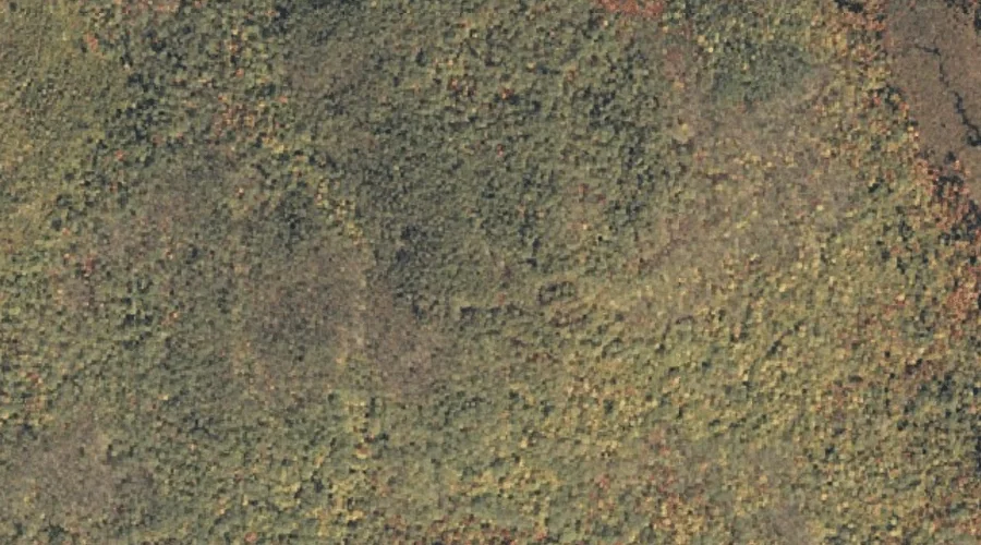
Isaiah Mountain is a summit in Oxford County, Maine, located about 9.5 miles south-southwest of Chapman Inn in Bethel, Maine. It appears on the USGS Speckled Mountain topographic…
Hannah Brook is a stream in Oxford County, Maine, located about 9.6 miles south-southwest of Chapman Inn in Bethel, Maine. It appears on the USGS East Stoneham topographic…
Goodwin Brook is a stream in Oxford County, Maine, located about 9.6 miles south-southwest of Chapman Inn in Bethel, Maine. It appears on the USGS East Stoneham topographic…
Meadow Brook is a stream in Oxford County, Maine, located about 9.6 miles south-southwest of Chapman Inn in Bethel, Maine. It appears on the USGS East Stoneham topographic…
Sargent Mountain is a summit in Oxford County, Maine, located about 9.7 miles north-northwest of Chapman Inn in Bethel, Maine. It appears on the USGS Old Speck Mountain…
Billings Hill is a summit in Oxford County, Maine, located about 9.2 miles east of Chapman Inn in Bethel, Maine. It appears on the USGS Mount Zircon topographic…
Stowe Mountain is a summit in Oxford County, Maine, located about 9.7 miles north-northwest of Chapman Inn in Bethel, Maine. It appears on the USGS Old Speck Mountain…
Mount Dimmock is a summit in Oxford County, Maine, located about 8.8 miles north-northeast of Chapman Inn in Bethel, Maine. It appears on the USGS East Andover topographic…
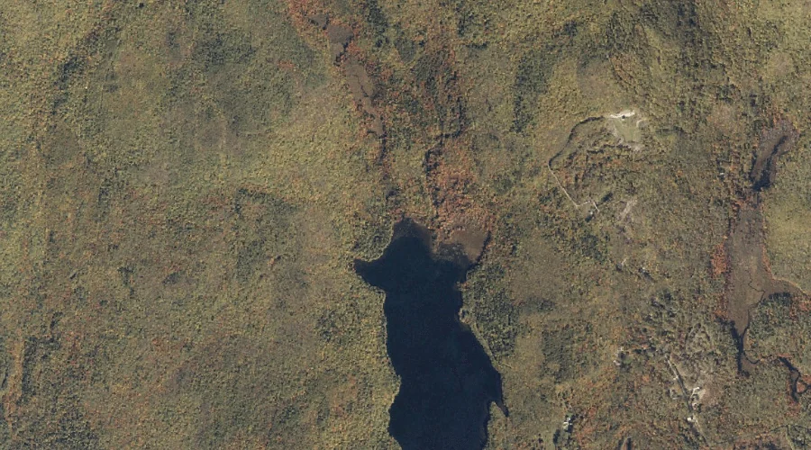
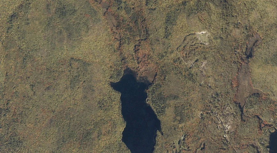
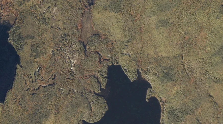
Kneeland Pond is a lake in Oxford County, Maine, located about 8.8 miles south of Chapman Inn in Bethel, Maine. It appears on the USGS East Stoneham topographic…
Barkers Brook is a stream in Oxford County, Maine, located about 8.9 miles northeast of Chapman Inn in Bethel, Maine. It appears on the USGS Bryant Pond topographic…