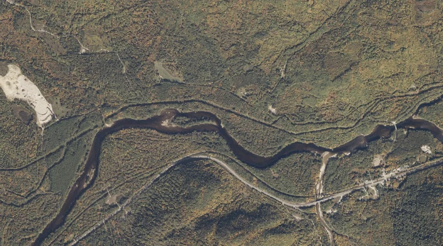
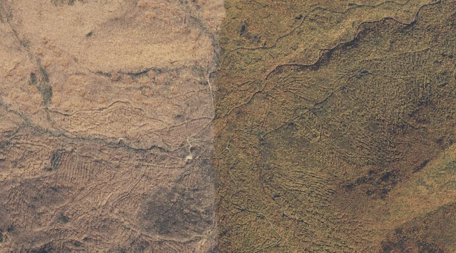
Twitchell Brook is a stream in Oxford County, Maine, located about 10.0 miles west of Chapman Inn in Bethel, Maine. It appears on the USGS Gilead topographic quadrangle.
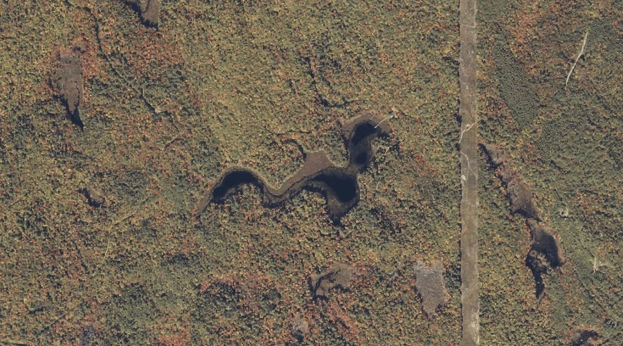
Red Rock Brook is a stream in Oxford County, Maine, located about 10.0 miles southwest of Chapman Inn in Bethel, Maine. It appears on the USGS Speckled Mountain…
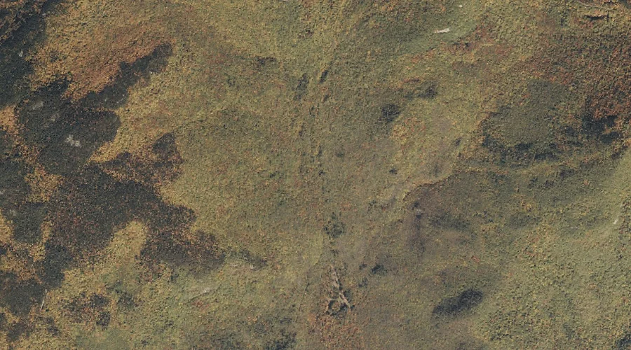
Twin Mountain is a summit in Oxford County, Maine, located about 10.0 miles west of Chapman Inn in Bethel, Maine. It appears on the USGS Gilead topographic quadrangle.
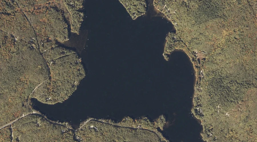
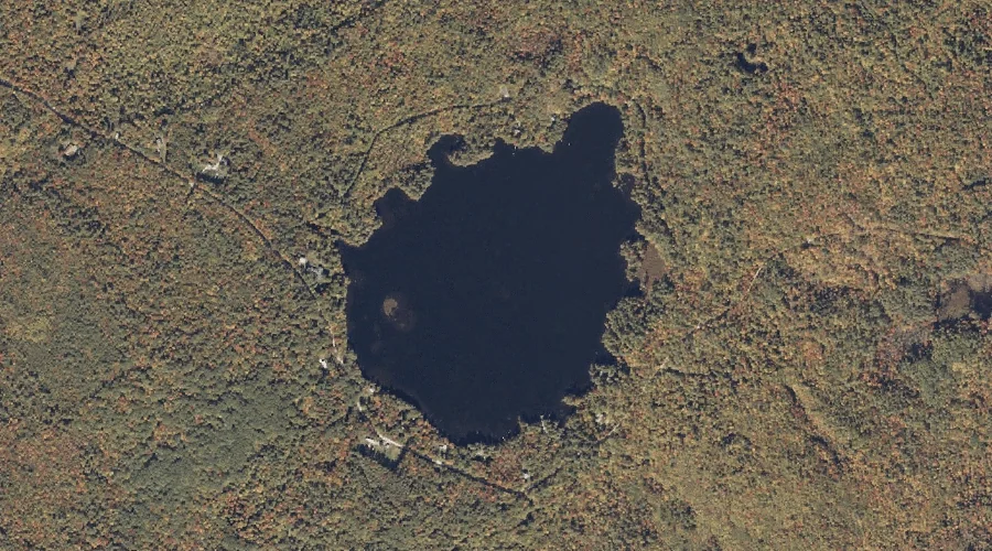
Furlong Pond is a lake in Oxford County, Maine, located about 10.1 miles south-southeast of Chapman Inn in Bethel, Maine. It appears on the USGS Greenwood topographic quadrangle.
Keewaydin Lake is a reservoir in Oxford County, Maine, located about 10.1 miles south-southwest of Chapman Inn in Bethel, Maine. It appears on the USGS East Stoneham topographic…
Robinson Peak is a summit in Oxford County, Maine, located about 9.7 miles west-northwest of Chapman Inn in Bethel, Maine. It appears on the USGS Gilead topographic quadrangle.
Shirley Brook is a stream in Oxford County, Maine, located about 9.8 miles southwest of Chapman Inn in Bethel, Maine. It appears on the USGS Speckled Mountain topographic…
Puzzle Mountain is a summit in Oxford County, Maine, located about 9.8 miles north of Chapman Inn in Bethel, Maine. It appears on the USGS Puzzle Mountain topographic…
South Branch Sunday River is a stream in Oxford County, Maine, located about 9.8 miles west-northwest of Chapman Inn in Bethel, Maine. It appears on the USGS Gilead…
Hutchinson Pond is a lake in Oxford County, Maine, located about 9.9 miles south-southeast of Chapman Inn in Bethel, Maine. It appears on the USGS Greenwood topographic quadrangle.