Lary Island is a island in Oxford County, Maine, located about 10.2 miles west of Chapman Inn in Bethel, Maine. It appears on the USGS Gilead topographic quadrangle.
Patch Mountain is a summit in Oxford County, Maine, located about 10.2 miles southeast of Chapman Inn in Bethel, Maine. It appears on the USGS Greenwood topographic quadrangle.
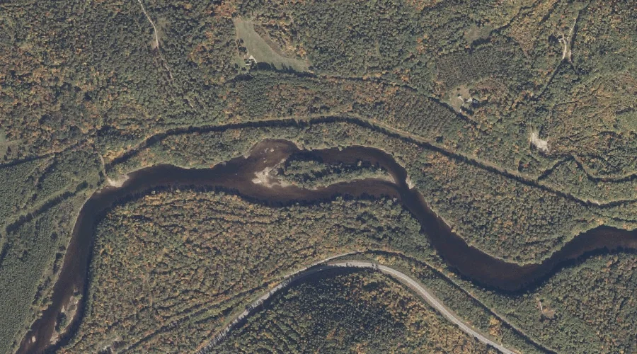
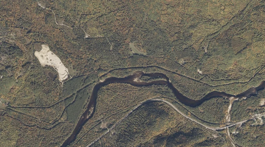
Little Lary Brook is a stream in Oxford County, Maine, located about 10.3 miles west-southwest of Chapman Inn in Bethel, Maine. It appears on the USGS Speckled Mountain…
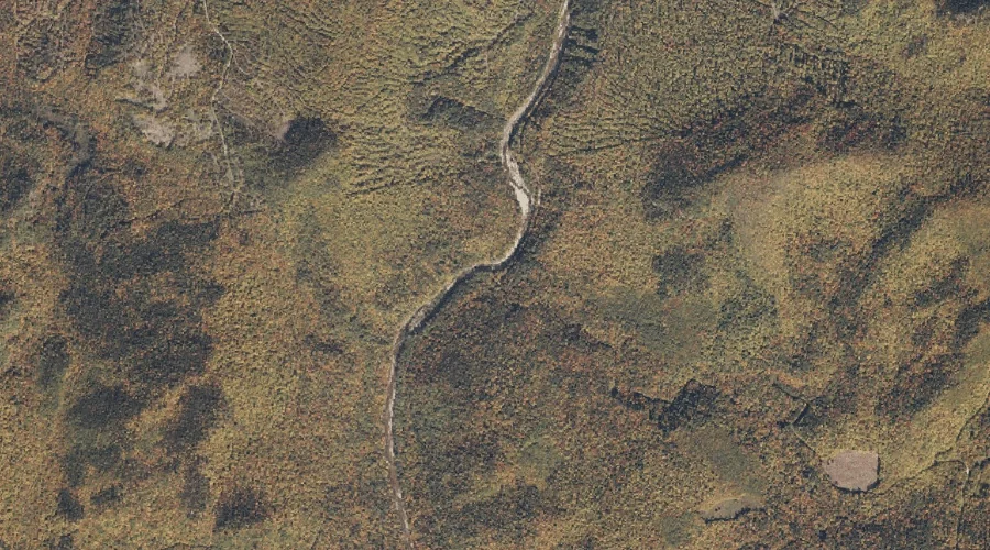
Meadow Brook is a stream in Oxford County, Maine, located about 10.3 miles north-northeast of Chapman Inn in Bethel, Maine. It appears on the USGS East Andover topographic…
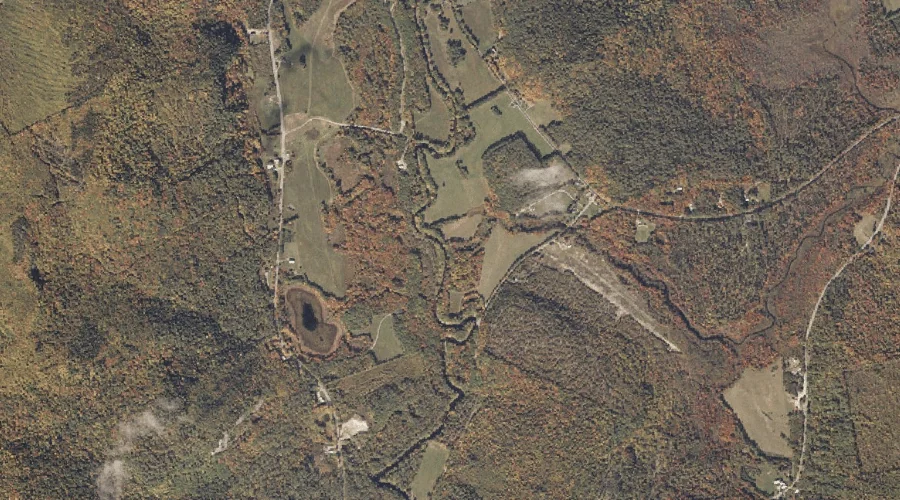
Mud Pond is a lake in Oxford County, Maine, located about 10.3 miles southeast of Chapman Inn in Bethel, Maine. It appears on the USGS Greenwood topographic quadrangle.
French Brook is a stream in Oxford County, Maine, located about 10.3 miles west of Chapman Inn in Bethel, Maine. It appears on the USGS Gilead topographic quadrangle.
Cecil Mountain is a summit in Oxford County, Maine, located about 10.3 miles south-southwest of Chapman Inn in Bethel, Maine. It appears on the USGS East Stoneham topographic…
Morrison Brook is a stream in Oxford County, Maine, located about 10.4 miles west-southwest of Chapman Inn in Bethel, Maine. It appears on the USGS Speckled Mountain topographic…
Durgin Mountain is a summit in Oxford County, Maine, located about 10.4 miles southwest of Chapman Inn in Bethel, Maine. It appears on the USGS Speckled Mountain topographic…
Mud Brook is a stream in Oxford County, Maine, located about 10.5 miles west-southwest of Chapman Inn in Bethel, Maine. It appears on the USGS Speckled Mountain topographic…