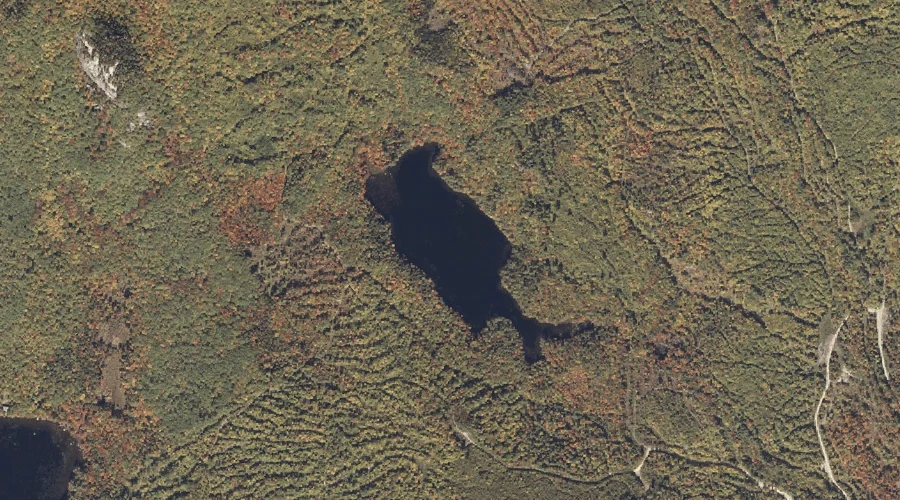
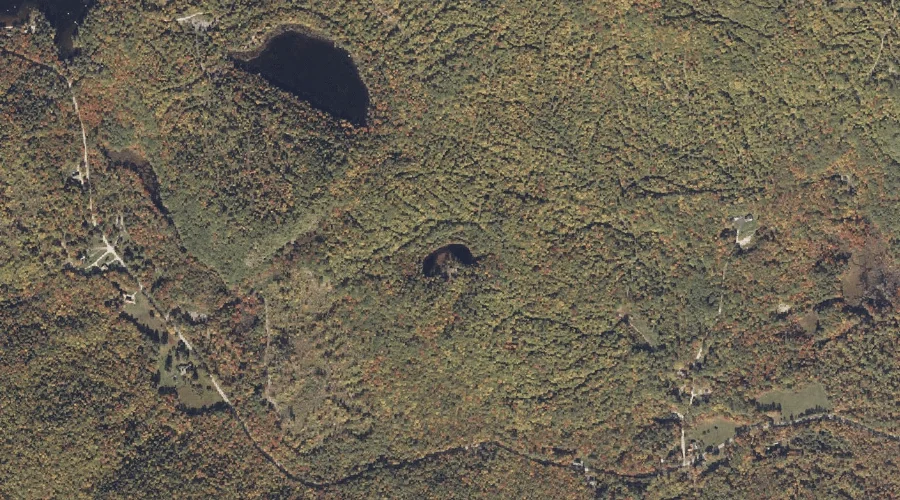
Abbotts Pond is a lake in Oxford County, Maine, located about 13.6 miles east of Chapman Inn in Bethel, Maine. It appears on the USGS Mount Zircon topographic…
Farmers Hill is a summit in Oxford County, Maine, located about 13.3 miles north-northeast of Chapman Inn in Bethel, Maine. It appears on the USGS East Andover topographic…
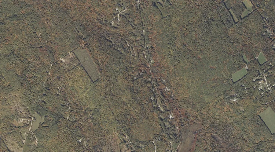
Herrick Brook is a stream in Oxford County, Maine, located about 13.3 miles south-southeast of Chapman Inn in Bethel, Maine. It appears on the USGS Waterford Flat topographic…
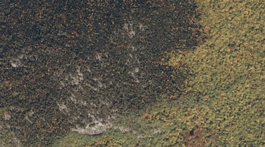
Palmer Mountain is a summit in Oxford County, Maine, located about 13.3 miles southwest of Chapman Inn in Bethel, Maine. It appears on the USGS Speckled Mountain topographic…
Blueberry Mountain is a summit in Oxford County, Maine, located about 13.4 miles southwest of Chapman Inn in Bethel, Maine. It appears on the USGS Speckled Mountain topographic…
Halfmoon Pond is a lake in Oxford County, Maine, located about 13.4 miles east of Chapman Inn in Bethel, Maine. It appears on the USGS Mount Zircon topographic…
Mother Walker Falls Gorge is a valley in Oxford County, Maine, located about 13.0 miles north-northwest of Chapman Inn in Bethel, Maine. It appears on the USGS Old…
Screw Auger Falls is a waterfall in Oxford County, Maine, located about 13.0 miles north-northwest of Chapman Inn in Bethel, Maine. It appears on the USGS Old Speck…
Rattlesnake Island is a island in Oxford County, Maine, located about 13.0 miles south-southwest of Chapman Inn in Bethel, Maine. It appears on the USGS Center Lovell topographic…
Bald Mountain is a summit in Oxford County, Maine, located about 13.0 miles east of Chapman Inn in Bethel, Maine. It appears on the USGS Mount Zircon topographic…