Mother Walker Falls Gorge is a valley in Oxford County, Maine, located about 13.0 miles north-northwest of Chapman Inn in Bethel, Maine. It appears on the USGS Old…
Screw Auger Falls is a waterfall in Oxford County, Maine, located about 13.0 miles north-northwest of Chapman Inn in Bethel, Maine. It appears on the USGS Old Speck…
Rattlesnake Island is a island in Oxford County, Maine, located about 13.0 miles south-southwest of Chapman Inn in Bethel, Maine. It appears on the USGS Center Lovell topographic…
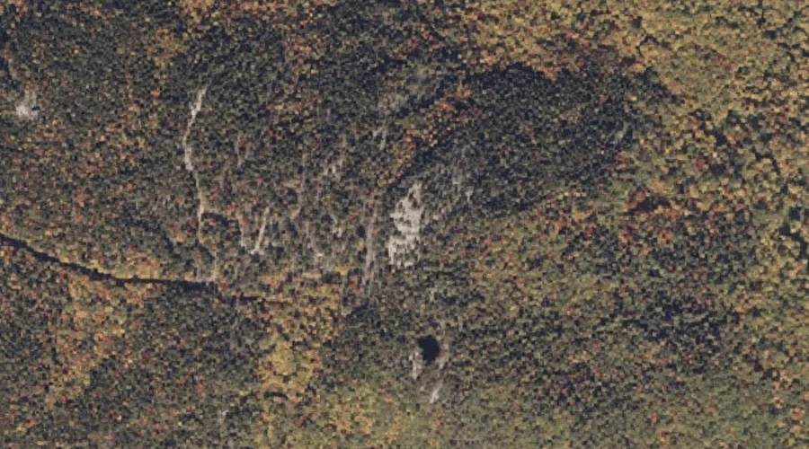
Bald Mountain is a summit in Oxford County, Maine, located about 13.0 miles east of Chapman Inn in Bethel, Maine. It appears on the USGS Mount Zircon topographic…
Glass Face Mountain is a summit in Oxford County, Maine, located about 13.0 miles northeast of Chapman Inn in Bethel, Maine. It appears on the USGS Rumford topographic…
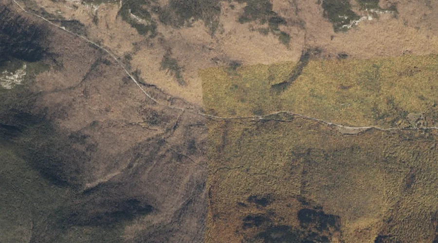
Fulling Mill Mountain is a summit in Oxford County, Maine, located about 13.1 miles northwest of Chapman Inn in Bethel, Maine. It appears on the USGS Old Speck…
Bryant Hill is a summit in Oxford County, Maine, located about 13.2 miles south-southwest of Chapman Inn in Bethel, Maine. It appears on the USGS Center Lovell topographic…
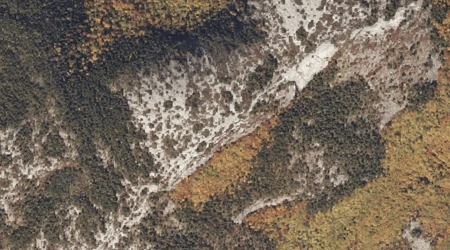
Whitecap Mountain is a summit in Oxford County, Maine, located about 13.2 miles north-northeast of Chapman Inn in Bethel, Maine. It appears on the USGS East Andover topographic…
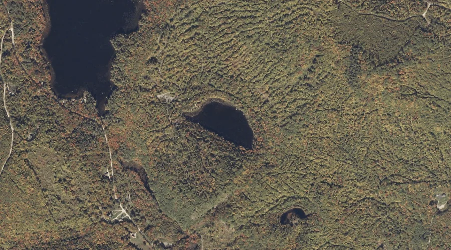
Washburn Pond is a lake in Oxford County, Maine, located about 13.2 miles east of Chapman Inn in Bethel, Maine. It appears on the USGS Mount Zircon topographic…
South Peak is a summit in Oxford County, Maine, located about 12.8 miles northwest of Chapman Inn in Bethel, Maine. It appears on the USGS Old Speck Mountain…