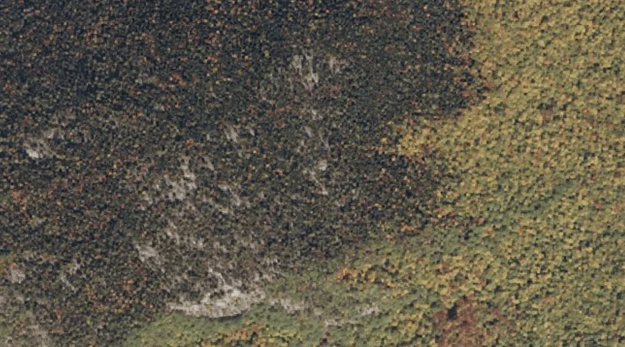
Palmer Mountain is a summit in Oxford County, Maine, located about 13.3 miles southwest of Chapman Inn in Bethel, Maine. It appears on the USGS Speckled Mountain topographic…
Blueberry Mountain is a summit in Oxford County, Maine, located about 13.4 miles southwest of Chapman Inn in Bethel, Maine. It appears on the USGS Speckled Mountain topographic…
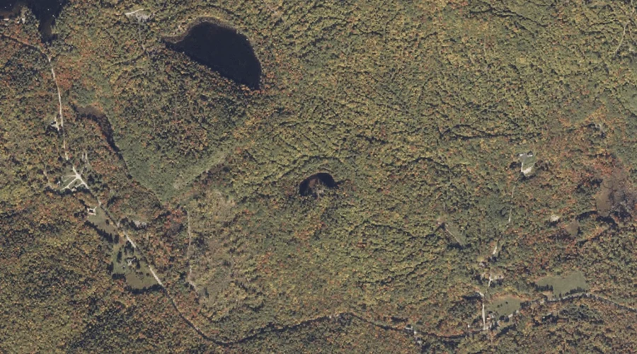
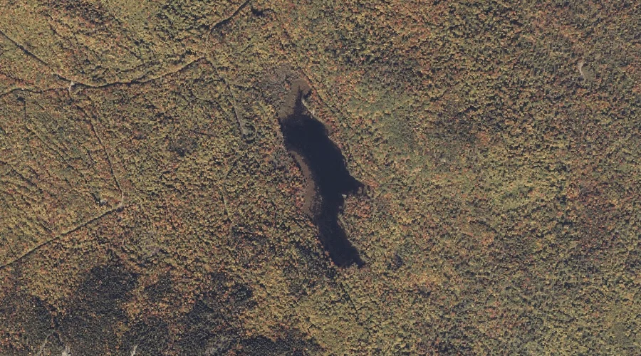
Halfmoon Pond is a lake in Oxford County, Maine, located about 13.4 miles east of Chapman Inn in Bethel, Maine. It appears on the USGS Mount Zircon topographic…
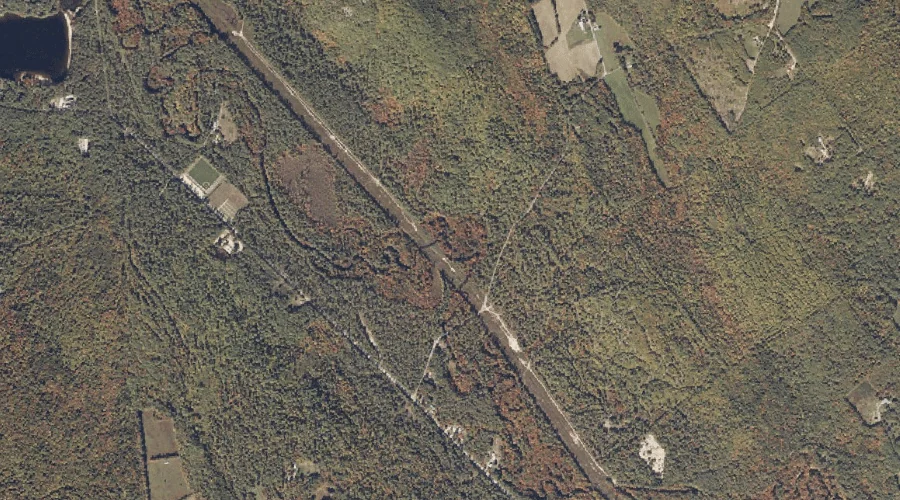
Mad River Falls is a waterfall in Oxford County, Maine, located about 13.4 miles southwest of Chapman Inn in Bethel, Maine. It appears on the USGS Wild River…
North Pond is a reservoir in Oxford County, Maine, located about 13.4 miles southeast of Chapman Inn in Bethel, Maine. It appears on the USGS West Paris topographic…
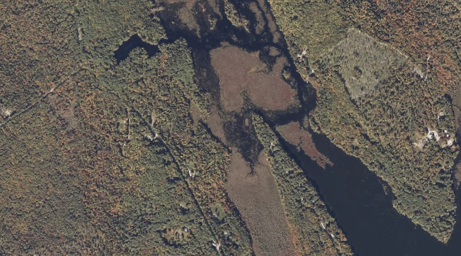
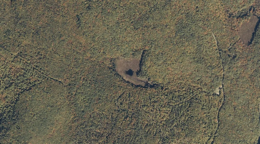
Mud Pond is a lake in Oxford County, Maine, located about 13.4 miles south-southwest of Chapman Inn in Bethel, Maine. It appears on the USGS Center Lovell topographic…
Heald Pond is a reservoir in Oxford County, Maine, located about 13.5 miles south-southwest of Chapman Inn in Bethel, Maine. It appears on the USGS North Waterford topographic…
Adams Mountain is a summit in Oxford County, Maine, located about 13.5 miles southwest of Chapman Inn in Bethel, Maine. It appears on the USGS Center Lovell topographic…
McIntire Brook is a stream in Oxford County, Maine, located about 13.5 miles south-southeast of Chapman Inn in Bethel, Maine. It appears on the USGS Waterford Flat topographic…
Joes Pond is a lake in Oxford County, Maine, located about 13.5 miles northeast of Chapman Inn in Bethel, Maine. It appears on the USGS Rumford topographic quadrangle.