Morse Brook is a stream in Oxford County, Maine, located about 15.4 miles south-southeast of Chapman Inn in Bethel, Maine. It appears on the USGS Waterford Flat topographic…
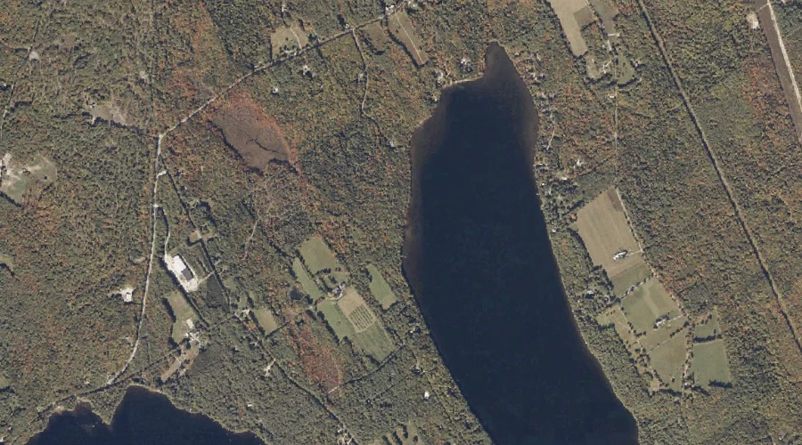
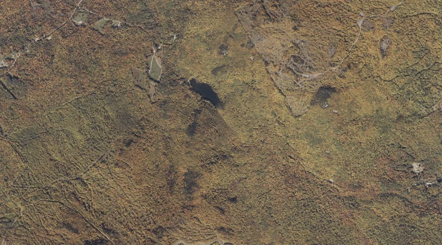
Noah Eastman Pond is a lake in Oxford County, Maine, located about 15.4 miles south-southwest of Chapman Inn in Bethel, Maine. It appears on the USGS Center Lovell…
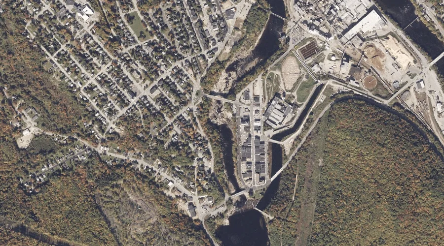
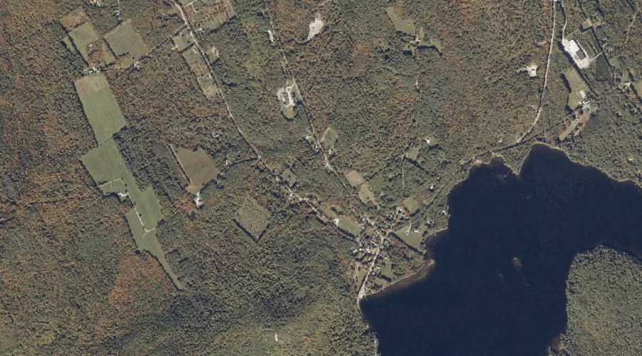
Androscoggin River Reservoir is a reservoir in Oxford County, Maine, located about 15.4 miles northeast of Chapman Inn in Bethel, Maine. It appears on the USGS Rumford topographic…
Patterson Hill is a summit in Oxford County, Maine, located about 15.4 miles south of Chapman Inn in Bethel, Maine. It appears on the USGS North Waterford topographic…
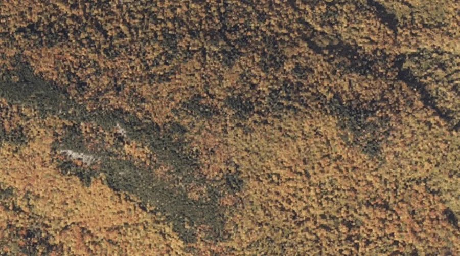
Gregg Mountain is a summit in Oxford County, Maine, located about 15.5 miles north of Chapman Inn in Bethel, Maine. It appears on the USGS Andover topographic quadrangle.
Pine Hill is a summit in Oxford County, Maine, located about 15.5 miles south-southwest of Chapman Inn in Bethel, Maine. It appears on the USGS Center Lovell topographic…
Jim Hill is a summit in Oxford County, Maine, located about 15.5 miles south-southeast of Chapman Inn in Bethel, Maine. It appears on the USGS Norway topographic quadrangle.
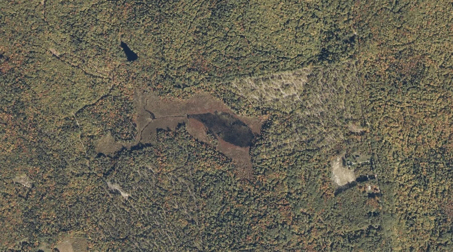
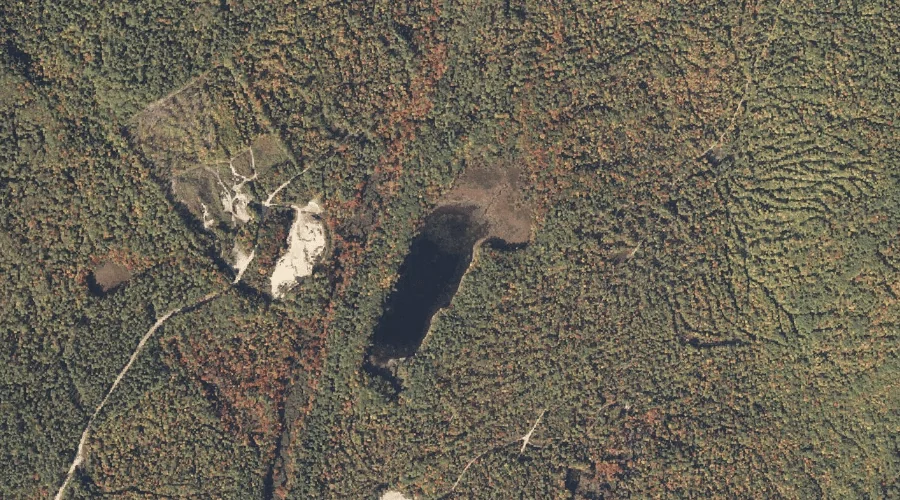
Dan Charles Pond is a lake in Oxford County, Maine, located about 15.5 miles south of Chapman Inn in Bethel, Maine. It appears on the USGS North Waterford…
Kingman Brook is a stream in Oxford County, Maine, located about 15.5 miles south-southeast of Chapman Inn in Bethel, Maine. It appears on the USGS Waterford Flat topographic…
Swains Notch is a mountain gap in Oxford County, Maine, located about 15.5 miles north-northeast of Chapman Inn in Bethel, Maine. It appears on the USGS Rumford topographic…