 Aerial imagery: USGS National Map (public domain)
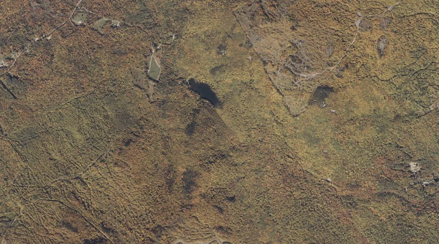
Swains Notch — Gaps 15.5 Miles NNE of Chapman Inn
Oxford County, Maine · USGS Rumford Quadrangle · GNIS 576571
Catalogued on the USGS Rumford quadrangle in Oxford County, Maine, Swains Notch — a mountain gap — lies 15.5 miles north-northeast of Chapman Inn.
Landmark Profile
Classification & USGS reference
Catalogued under GNIS Feature ID 576571, Swains Notch is recorded as a mountain gap on the USGS Rumford quadrangle in Oxford County, Maine (FIPS 23/017). Catalogued in GNIS since 09/30/1980.
Coordinates & physical setting
Swains Notch sits at 44.59562° N, 70.62201° W (DMS 44°35′44″ N, 70°37′19″ W).
Other gaps in Oxford County, Maine
Oxford County, ME contains 18 gaps catalogued in the USGS Geographic Names Information System, counting Swains Notch itself. The ones closest to Swains Notch:
| Feature | USGS Quadrangle | Distance |
|---|---|---|
| Roxbury Notch | Ellis Pond | 2.1 mi |
| Mine Notch | Ellis Pond | 3.5 mi |
| Black Brook Notch | Andover | 11.5 mi |
| Sawyer Notch | Andover | 13 mi |
| Miles Notch | Old Speck Mountain | 14.6 mi |
| Dunn Notch | B Pond | 15.1 mi |
| Grafton Notch | Old Speck Mountain | 16 mi |
| Notch 2 | Old Speck Mountain | 18.2 mi |
| Mahoosuc Notch | Old Speck Mountain | 18.5 mi |
| Whites Notch | Gilead | 18.8 mi |
Features on the USGS Rumford Quadrangle
The Rumford 7.5-minute topographic quadrangle holds 28 catalogued natural features alongside Swains Notch. A sampling nearest to this location:
| Feature | Type | County | Offset |
|---|---|---|---|
| Swains Pond | Lakes | Oxford County, ME | 0.2 mi |
| Swift River Reservoir | Reservoirs | Oxford County, ME | 2.9 mi |
| Goff Brook | Streams | Oxford County, ME | 3.1 mi |
| Mitchell Brook | Streams | Franklin County, ME | 3.1 mi |
| Walton Brook | Streams | Oxford County, ME | 3.2 mi |
| Scotty Brook | Streams | Oxford County, ME | 3.6 mi |
| Thompson Hill | Summits | Oxford County, ME | 4.5 mi |
| Swift River | Streams | Oxford County, ME | 4.7 mi |
| Joes Pond | Lakes | Oxford County, ME | 4.8 mi |
| Androscoggin River Reservoir | Reservoirs | Oxford County, ME | 5 mi |
Visiting from Chapman Inn
Distance, bearing & drive time
A 27-minute drive along back roads separates the front door of Chapman Inn from Swains Notch — 15.5 miles north-northeast as the crow flies, on compass bearing NNE.
Best time to visit
Late May through October; avoid black-fly peak in late May. At this latitude (44.596°), the shoulder seasons are workable — April and November can be comfortable on mild years. At 15.5 miles from the Inn, plan on a comfortable day trip with time for lunch on the road. Conditions at Swains Notch track the nearby Swains Pond lake (0.2 mi away) closely — if that is runnable, so is this.
Nearest features to Swains Notch
| Feature | Type | County | Distance |
|---|---|---|---|
| Swains Pond | Lakes | Oxford County, ME | 0.2 mi |
| Black Mountain | Summits | Oxford County, ME | 1.1 mi |
| Roxbury Notch | Gaps | Oxford County, ME | 2.1 mi |
| Horseshoe Pond | Lakes | Oxford County, ME | 2.2 mi |
| Whitecap Mountain | Summits | Oxford County, ME | 2.5 mi |
Frequently Asked Questions
Where is Swains Notch located?
Swains Notch is in Oxford County, Maine, approximately 15.5 miles north-northeast of Chapman Inn in Bethel, Maine. It appears on the USGS Rumford topographic quadrangle.
How far is Swains Notch from Chapman Inn?
The drive runs about 27 minutes, 15.5 miles north-northeast (bearing NNE) of the Inn.
What type of natural feature is Swains Notch?
The U.S. Geological Survey classifies Swains Notch as a mountain gap, catalogued under GNIS Feature ID 576571 on the Rumford quadrangle.
When is the best time to visit Swains Notch?
Late May through October; avoid black-fly peak in late May.
How many other gaps are in Oxford County, Maine?
GNIS lists 17 other gaps in Oxford County, Maine.