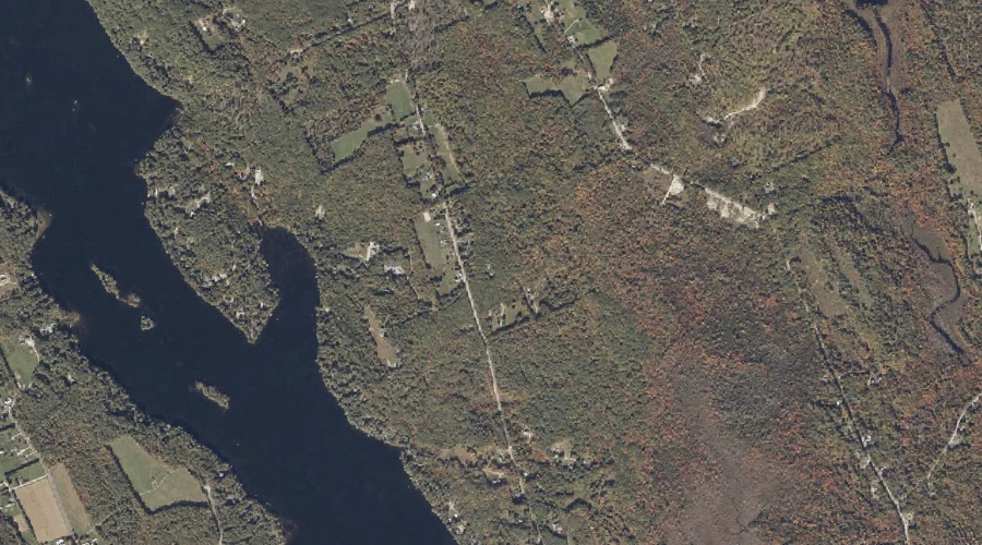
Middle Bay is a bay in Oxford County, Maine, located about 15.9 miles south-southwest of Chapman Inn in Bethel, Maine. It appears on the USGS Center Lovell topographic…
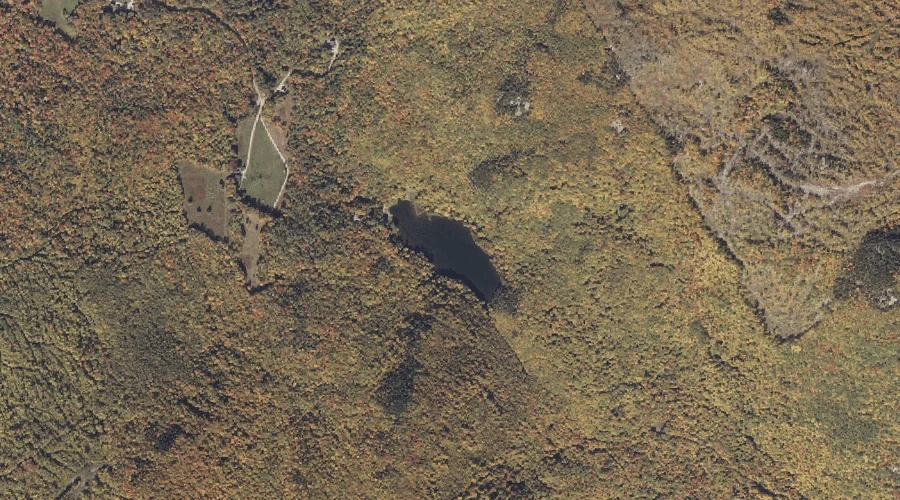
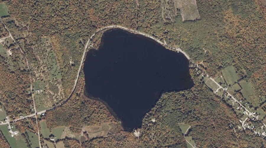
Bird Pond is a lake in Oxford County, Maine, located about 15.9 miles southeast of Chapman Inn in Bethel, Maine. It appears on the USGS Norway topographic quadrangle.
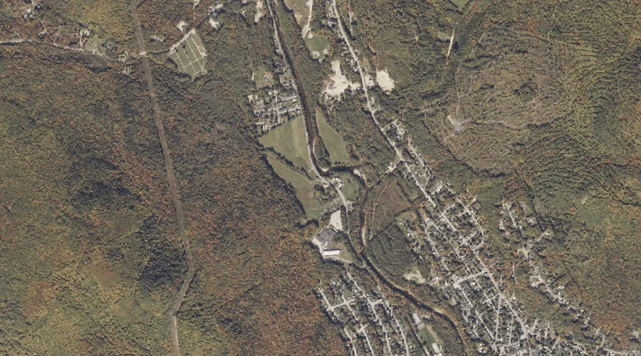
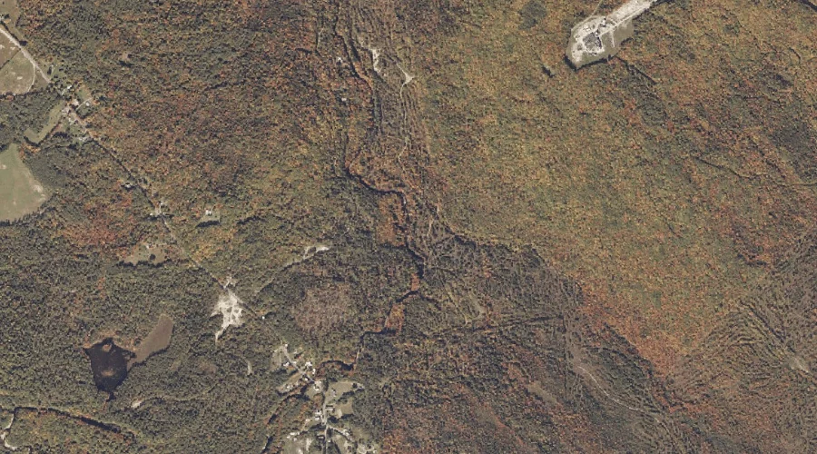
Scotty Brook is a stream in Oxford County, Maine, located about 15.9 miles northeast of Chapman Inn in Bethel, Maine. It appears on the USGS Rumford topographic quadrangle.
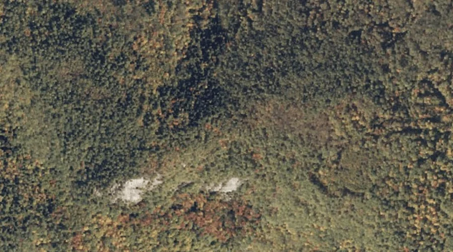
Little Deer Hill is a summit in Oxford County, Maine, located about 15.6 miles southwest of Chapman Inn in Bethel, Maine. It appears on the USGS Center Lovell…
Swains Pond is a lake in Oxford County, Maine, located about 15.6 miles north-northeast of Chapman Inn in Bethel, Maine. It appears on the USGS Rumford topographic quadrangle.
Sabattus Mountain is a summit in Oxford County, Maine, located about 15.7 miles south-southwest of Chapman Inn in Bethel, Maine. It appears on the USGS North Waterford topographic…
Horseshoe Brook is a stream in Oxford County, Maine, located about 15.7 miles north-northeast of Chapman Inn in Bethel, Maine. It appears on the USGS Ellis Pond topographic…
Crockett Ridge is a ridge in Oxford County, Maine, located about 15.8 miles southeast of Chapman Inn in Bethel, Maine. It appears on the USGS Norway topographic quadrangle.
Duck Pond is a lake in Oxford County, Maine, located about 15.8 miles south of Chapman Inn in Bethel, Maine. It appears on the USGS North Waterford topographic…
Pleasant Pond is a lake in Oxford County, Maine, located about 15.8 miles east of Chapman Inn in Bethel, Maine. It appears on the USGS West Sumner topographic…