Baldpate Mountain is a summit in Oxford County, Maine, located about 15.0 miles north-northwest of Chapman Inn in Bethel, Maine. It appears on the USGS Old Speck Mountain…
Paine Pond is a lake in Oxford County, Maine, located about 15.0 miles southeast of Chapman Inn in Bethel, Maine. It appears on the USGS West Paris topographic…
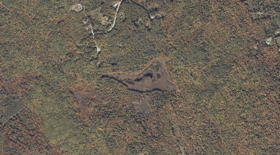
Mill Brook is a stream in Oxford County, Maine, located about 15.1 miles south-southwest of Chapman Inn in Bethel, Maine. It appears on the USGS Center Lovell topographic…
Logan Brook is a stream in Oxford County, Maine, located about 15.1 miles northeast of Chapman Inn in Bethel, Maine. It appears on the USGS Rumford topographic quadrangle.
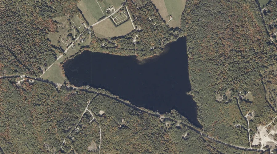
Little Pennesseewassee Pond is a reservoir in Oxford County, Maine, located about 15.1 miles southeast of Chapman Inn in Bethel, Maine. It appears on the USGS Norway topographic…
Burnell Hill is a summit in Oxford County, Maine, located about 15.2 miles south of Chapman Inn in Bethel, Maine. It appears on the USGS North Waterford topographic…
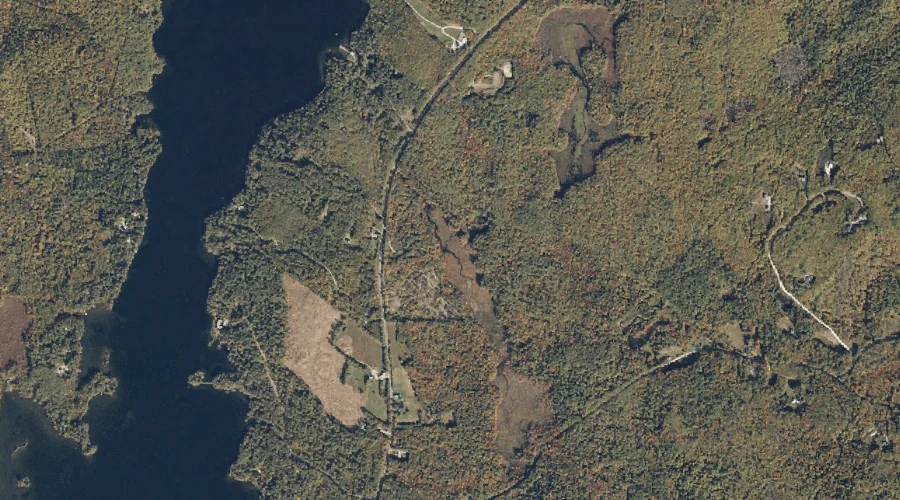
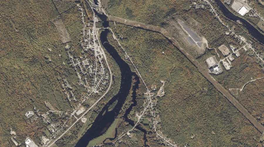
Androscoggin River Reservoir is a reservoir in Oxford County, Maine, located about 15.2 miles northeast of Chapman Inn in Bethel, Maine. It appears on the USGS Rumford topographic…
Bean Brook is a stream in Oxford County, Maine, located about 15.2 miles northeast of Chapman Inn in Bethel, Maine. It appears on the USGS Rumford topographic quadrangle.
Grafton Notch is a mountain gap in Oxford County, Maine, located about 15.2 miles north-northwest of Chapman Inn in Bethel, Maine. It appears on the USGS Old Speck…
Deer Hill is a summit in Oxford County, Maine, located about 15.2 miles southwest of Chapman Inn in Bethel, Maine. It appears on the USGS Center Lovell topographic…