Bear Mountain is a summit in Oxford County, Maine, located about 17.6 miles south-southeast of Chapman Inn in Bethel, Maine. It appears on the USGS Waterford Flat topographic…
Hatch Hill is a summit in Oxford County, Maine, located about 17.6 miles south-southwest of Chapman Inn in Bethel, Maine. It appears on the USGS Center Lovell topographic…
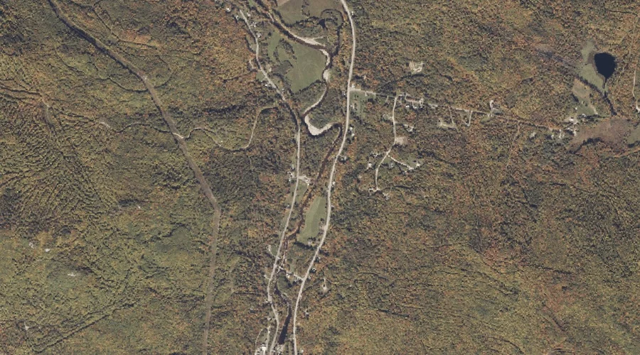
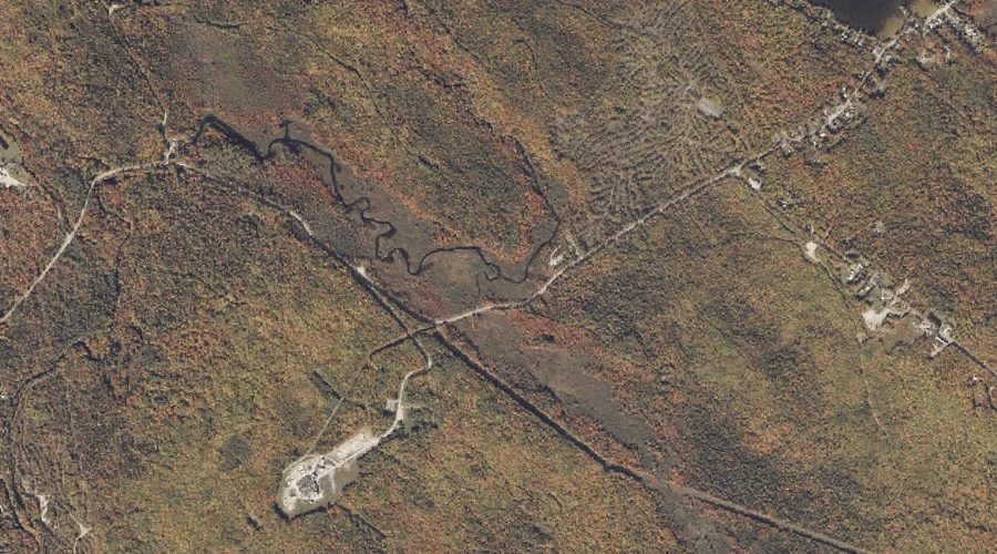
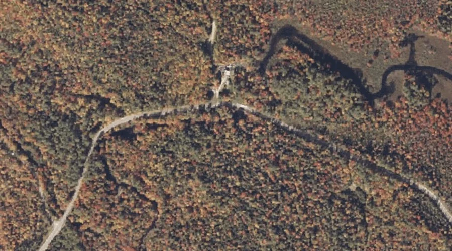
Sucker Brook is a stream in Oxford County, Maine, located about 17.6 miles south-southwest of Chapman Inn in Bethel, Maine. It appears on the USGS Center Lovell topographic…
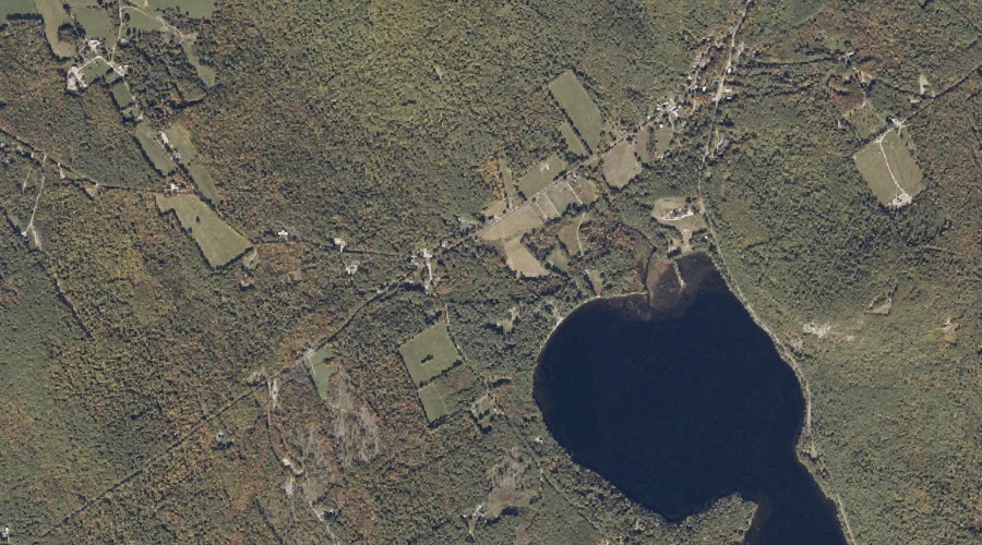
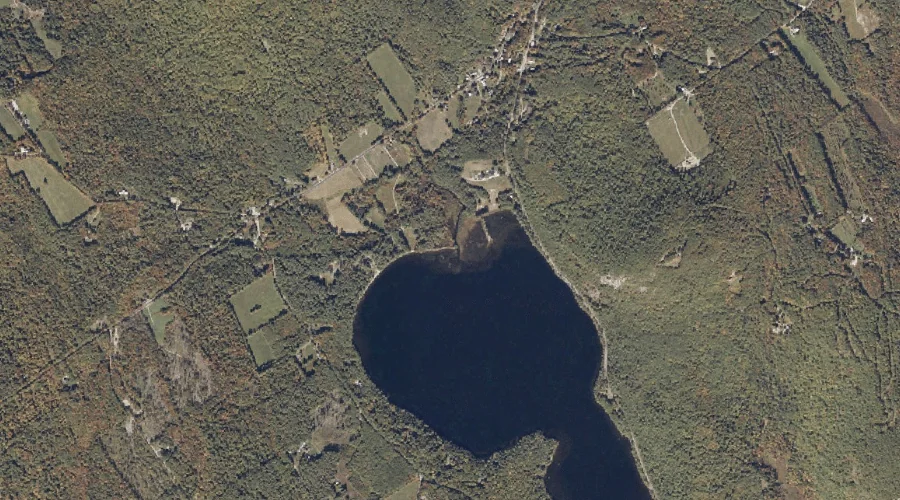
The Narrows is a natural feature in Oxford County, Maine, located about 17.6 miles south-southwest of Chapman Inn in Bethel, Maine. It appears on the USGS Center Lovell…
Scoggins Brook is a stream in Oxford County, Maine, located about 17.3 miles south of Chapman Inn in Bethel, Maine. It appears on the USGS Waterford Flat topographic…
Goff Brook is a stream in Oxford County, Maine, located about 17.5 miles northeast of Chapman Inn in Bethel, Maine. It appears on the USGS Rumford topographic quadrangle.
Mill Brook is a stream in Oxford County, Maine, located about 17.5 miles south of Chapman Inn in Bethel, Maine. It appears on the USGS Waterford Flat topographic…
Winns Hill is a summit in Oxford County, Maine, located about 17.0 miles south of Chapman Inn in Bethel, Maine. It appears on the USGS North Waterford topographic…
Meadow Brook is a stream in Oxford County, Maine, located about 17.0 miles north-northeast of Chapman Inn in Bethel, Maine. It appears on the USGS Ellis Pond topographic…
Ellis Falls is a waterfall in Oxford County, Maine, located about 17.0 miles north-northeast of Chapman Inn in Bethel, Maine. It appears on the USGS Ellis Pond topographic…