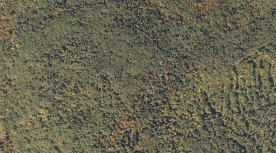
 Aerial imagery: USGS National Map (public domain)
Winns Hill — Summits 17.0 Miles S of Chapman Inn
Oxford County, Maine · USGS North Waterford Quadrangle · GNIS 581276
Within Oxford County, Maine, on the USGS North Waterford quadrangle, the summit known as Winns Hill sits 17.0 miles south of Chapman Inn.
Wikidata short description: “mountain in United States of America”
Landmark Profile
Classification & USGS reference
Within Oxford County, Maine, the U.S. Geological Survey lists Winns Hill as a summit on the North Waterford topographic quadrangle (FIPS 23/017), under Feature ID 581276. Last revised by the Board on Geographic Names on 12/04/2018.
Coordinates & physical setting
Winns Hill sits at 44.15867° N, 70.79229° W (DMS 44°09′31″ N, 70°47′32″ W).
Other summits in Oxford County, Maine
Oxford County, ME contains 438 summits catalogued in the USGS Geographic Names Information System, counting Winns Hill itself. The ones closest to Winns Hill:
| Feature | USGS Quadrangle | Elevation | Distance |
|---|---|---|---|
| Evans Hill | North Waterford | — | 0.9 mi |
| Stearns Hill | North Waterford | — | 1.4 mi |
| Perry Hill | North Waterford | — | 1.4 mi |
| Patterson Hill | North Waterford | — | 1.8 mi |
| Burnell Hill | North Waterford | — | 1.9 mi |
| Clough Hill | North Waterford | — | 2.1 mi |
| Stone Hill | North Waterford | — | 2.7 mi |
| Edgecomb Hill | North Waterford | — | 2.8 mi |
| Marr Hill | North Waterford | — | 2.8 mi |
| Plummer Mountain | Pleasant Mountain | — | 3 mi |
Features on the USGS North Waterford Quadrangle
The North Waterford 7.5-minute topographic quadrangle holds 57 catalogued natural features alongside Winns Hill. A sampling nearest to this location:
| Feature | Type | County | Offset |
|---|---|---|---|
| Evans Hill | Summits | Oxford County, ME | 0.9 mi |
| Black Pond | Lakes | Oxford County, ME | 1 mi |
| Stearns Hill | Summits | Oxford County, ME | 1.4 mi |
| Perry Hill | Summits | Oxford County, ME | 1.4 mi |
| Duck Pond | Lakes | Oxford County, ME | 1.6 mi |
| Keyes Pond | Lakes | Oxford County, ME | 1.7 mi |
| Patterson Hill | Summits | Oxford County, ME | 1.8 mi |
| Burnell Hill | Summits | Oxford County, ME | 1.9 mi |
| Patterson Brook | Streams | Oxford County, ME | 2.1 mi |
| Clough Hill | Summits | Oxford County, ME | 2.1 mi |
Visiting from Chapman Inn
Distance, bearing & drive time
Follow the compass bearing S out of Bethel for 17.0 miles (south) and you reach Winns Hill; at typical rural speeds the trip runs roughly 29 minutes.
Best time to visit
Accessible May through November in most years. At this latitude (44.159°), the shoulder seasons are workable — April and November can be comfortable on mild years. At 17.0 miles from the Inn, plan on a comfortable day trip with time for lunch on the road. Conditions at Winns Hill track the nearby Evans Hill summit (0.9 mi away) closely — if that is runnable, so is this.
Nearest features to Winns Hill
| Feature | Type | County | Distance |
|---|---|---|---|
| Evans Hill | Summits | Oxford County, ME | 0.9 mi |
| Black Pond | Lakes | Oxford County, ME | 1 mi |
| Stearns Hill | Summits | Oxford County, ME | 1.4 mi |
| Perry Hill | Summits | Oxford County, ME | 1.4 mi |
| Duck Pond | Lakes | Oxford County, ME | 1.6 mi |
Frequently Asked Questions
Where is Winns Hill located?
Winns Hill is in Oxford County, Maine, approximately 17.0 miles south of Chapman Inn in Bethel, Maine. It appears on the USGS North Waterford topographic quadrangle.
How far is Winns Hill from Chapman Inn?
The drive runs about 29 minutes, 17.0 miles south (bearing S) of the Inn.
What type of natural feature is Winns Hill?
The U.S. Geological Survey classifies Winns Hill as a summit, catalogued under GNIS Feature ID 581276 on the North Waterford quadrangle.
When is the best time to visit Winns Hill?
Accessible May through November in most years.
How many other summits are in Oxford County, Maine?
GNIS lists 437 other summits in Oxford County, Maine.
Wikidata: Q33154542.