Coolidge Hill is a summit in Oxford County, Maine, located about 17.1 miles south-southeast of Chapman Inn in Bethel, Maine. It appears on the USGS Waterford Flat topographic…
Baker Hill is a summit in Oxford County, Maine, located about 17.1 miles south-southeast of Chapman Inn in Bethel, Maine. It appears on the USGS Waterford Flat topographic…
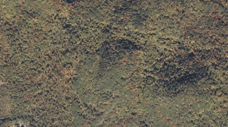
Lovejoy Mountain is a summit in Oxford County, Maine, located about 17.1 miles east-northeast of Chapman Inn in Bethel, Maine. It appears on the USGS Dixfield topographic quadrangle.
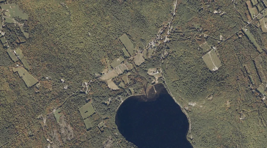
Farrington Pond is a lake in Oxford County, Maine, located about 17.1 miles south-southwest of Chapman Inn in Bethel, Maine. It appears on the USGS Center Lovell topographic…
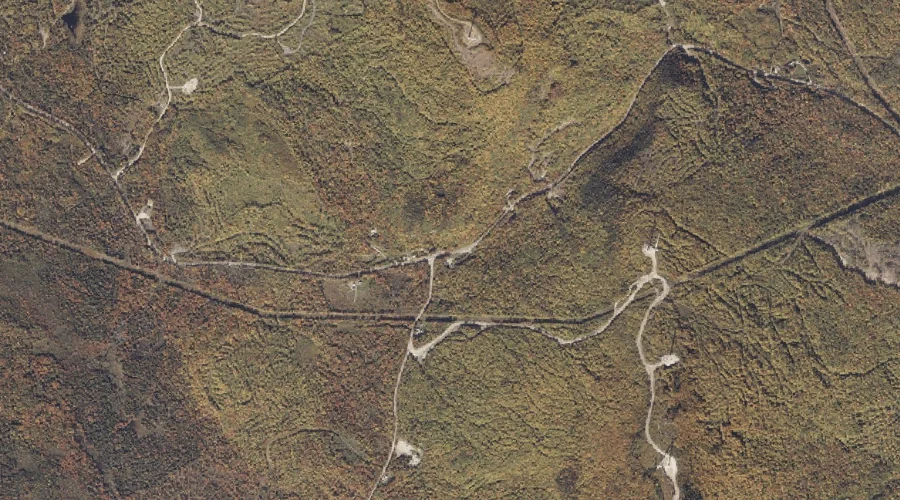
Roxbury Notch is a mountain gap in Oxford County, Maine, located about 17.2 miles north-northeast of Chapman Inn in Bethel, Maine. It appears on the USGS Ellis Pond…
Keyes Brook is a stream in Oxford County, Maine, located about 17.2 miles south of Chapman Inn in Bethel, Maine. It appears on the USGS North Waterford topographic…
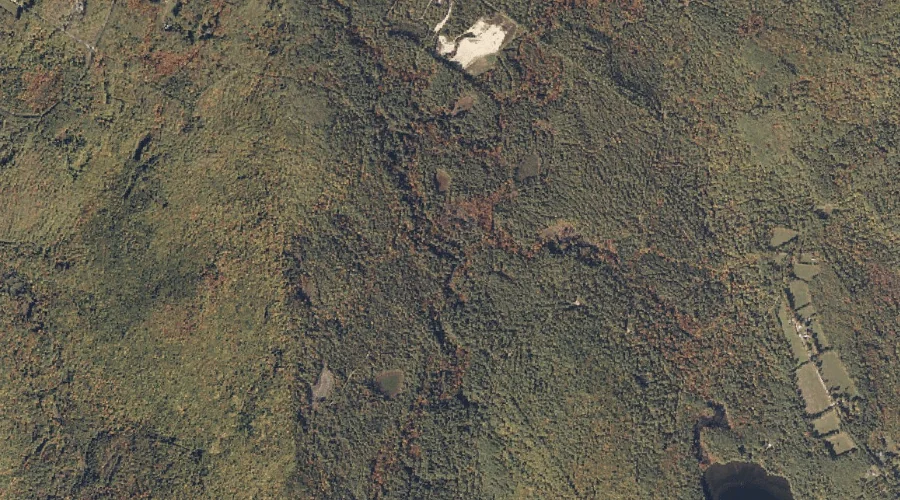
Bog Brook is a stream in Oxford County, Maine, located about 17.3 miles north of Chapman Inn in Bethel, Maine. It appears on the USGS Ellis Pond topographic…
Mutiny Brook is a stream in Oxford County, Maine, located about 17.3 miles south of Chapman Inn in Bethel, Maine. It appears on the USGS Waterford Flat topographic…
Wiley Mountain is a summit in Oxford County, Maine, located about 17.3 miles south-southwest of Chapman Inn in Bethel, Maine. It appears on the USGS Center Lovell topographic…
Edgecomb Hill is a summit in Oxford County, Maine, located about 17.0 miles south of Chapman Inn in Bethel, Maine. It appears on the USGS North Waterford topographic…