Town Farm Brook is a stream in Oxford County, Maine, located about 21.9 miles southeast of Chapman Inn in Bethel, Maine. It appears on the USGS Norway topographic…
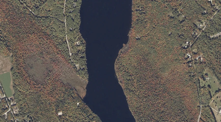
Mollidgewock Pond is a lake in Oxford County, Maine, located about 21.9 miles north-northwest of Chapman Inn in Bethel, Maine. It appears on the USGS Umbagog Lake South…
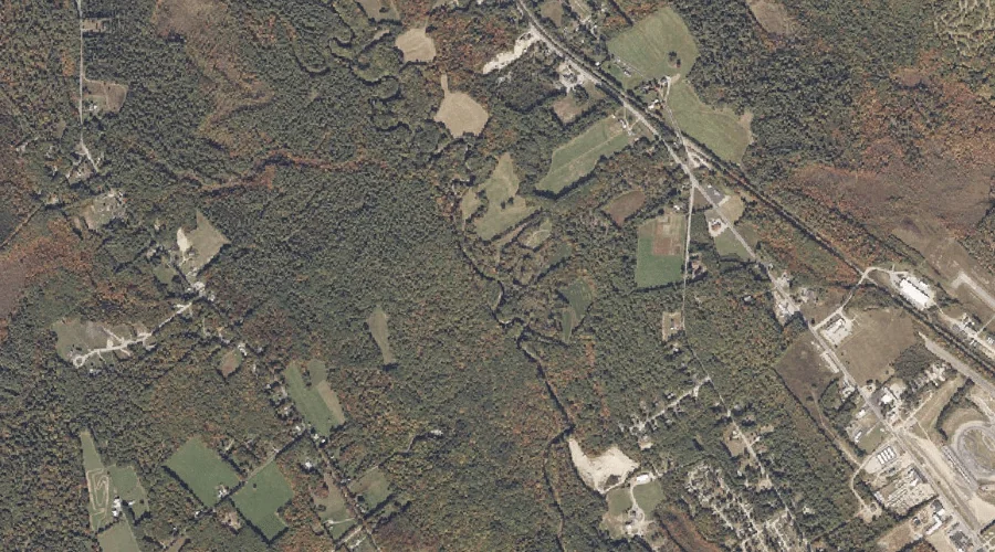
Little Singepole Mountain is a summit in Oxford County, Maine, located about 21.9 miles southeast of Chapman Inn in Bethel, Maine. It appears on the USGS Oxford topographic…
Plummer Brook is a stream in Oxford County, Maine, located about 21.9 miles south of Chapman Inn in Bethel, Maine. It appears on the USGS Pleasant Mountain topographic…
Northeast Pond is a lake in Oxford County, Maine, located about 22.0 miles east-southeast of Chapman Inn in Bethel, Maine. It appears on the USGS Buckfield topographic quadrangle.
Burnt Hill is a summit in Oxford County, Maine, located about 22.1 miles east-northeast of Chapman Inn in Bethel, Maine. It appears on the USGS East Dixfield topographic…
Moose Pond is a lake in Oxford County, Maine, located about 22.1 miles south-southeast of Chapman Inn in Bethel, Maine. It appears on the USGS Norway topographic quadrangle.
Dunham Hill is a summit in Oxford County, Maine, located about 21.6 miles north of Chapman Inn in Bethel, Maine. It appears on the USGS Ellis Pond topographic…
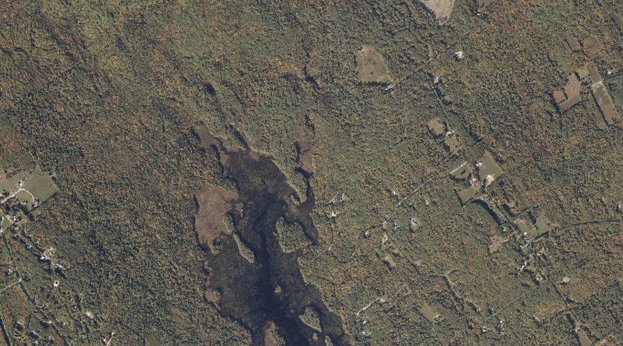
Swimming Bog is a swamp in Oxford County, Maine, located about 21.6 miles south-southwest of Chapman Inn in Bethel, Maine. It appears on the USGS Fryeburg topographic quadrangle.
Allen Hill is a summit in Oxford County, Maine, located about 21.7 miles east-northeast of Chapman Inn in Bethel, Maine. It appears on the USGS Canton topographic quadrangle.