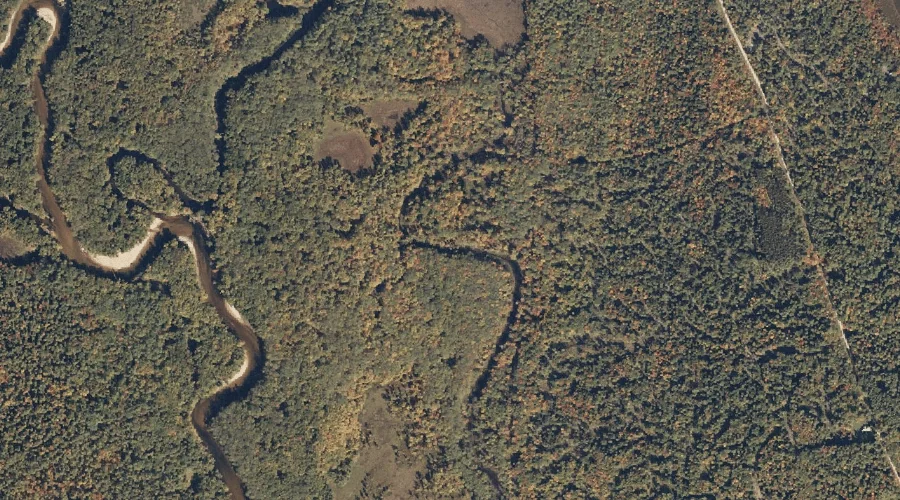
East Branch Swift River is a stream in Oxford County, Maine, located about 24.1 miles north-northeast of Chapman Inn in Bethel, Maine. It appears on the USGS Ellis…
Dead Lake is a lake in Oxford County, Maine, located about 24.2 miles south-southwest of Chapman Inn in Bethel, Maine. It appears on the USGS Fryeburg topographic quadrangle.
Marshall Pond is a reservoir in Oxford County, Maine, located about 24.3 miles southeast of Chapman Inn in Bethel, Maine. It appears on the USGS Oxford topographic quadrangle.
Carter Hill is a summit in Oxford County, Maine, located about 23.9 miles south of Chapman Inn in Bethel, Maine. It appears on the USGS Pleasant Mountain topographic…
Childs Hill is a summit in Oxford County, Maine, located about 23.9 miles east-northeast of Chapman Inn in Bethel, Maine. It appears on the USGS East Dixfield topographic…
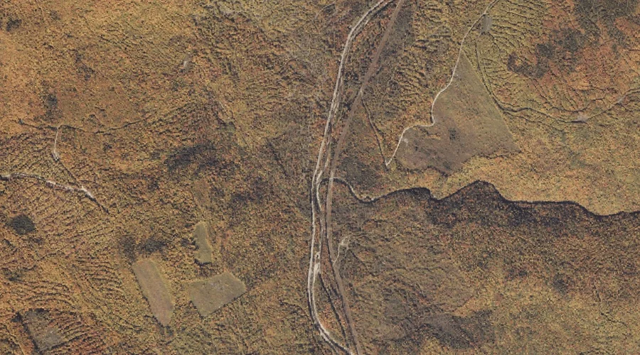
Whale Back Mountain is a summit in Oxford County, Maine, located about 23.7 miles north-northeast of Chapman Inn in Bethel, Maine. It appears on the USGS Roxbury topographic…
Bog Brook is a stream in Oxford County, Maine, located about 23.8 miles east of Chapman Inn in Bethel, Maine. It appears on the USGS Canton topographic quadrangle.
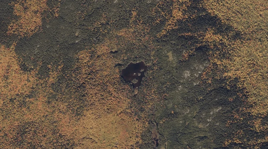
Muskrat Pond is a lake in Oxford County, Maine, located about 23.8 miles north-northeast of Chapman Inn in Bethel, Maine. It appears on the USGS Roxbury topographic quadrangle.
Greeley Hill is a summit in Oxford County, Maine, located about 23.8 miles southeast of Chapman Inn in Bethel, Maine. It appears on the USGS Casco topographic quadrangle.
Dunham Brook is a stream in Oxford County, Maine, located about 23.8 miles southeast of Chapman Inn in Bethel, Maine. It appears on the USGS Oxford topographic quadrangle.