Little Saco River is a stream in Oxford County, Maine, located about 29.8 miles south-southwest of Chapman Inn in Bethel, Maine. It appears on the USGS Brownfield topographic…
Long Hill is a summit in Oxford County, Maine, located about 29.9 miles south-southwest of Chapman Inn in Bethel, Maine. It appears on the USGS Brownfield topographic quadrangle.
Johnson Mountain is a summit in Oxford County, Maine, located about 29.9 miles north-northwest of Chapman Inn in Bethel, Maine. It appears on the USGS Middle Dam topographic…
Pickett Hill is a summit in Oxford County, Maine, located about 29.6 miles south of Chapman Inn in Bethel, Maine. It appears on the USGS Hiram topographic quadrangle.
Turtle Island is a island in Oxford County, Maine, located about 29.7 miles south-southeast of Chapman Inn in Bethel, Maine. It appears on the USGS Mechanic Falls topographic…
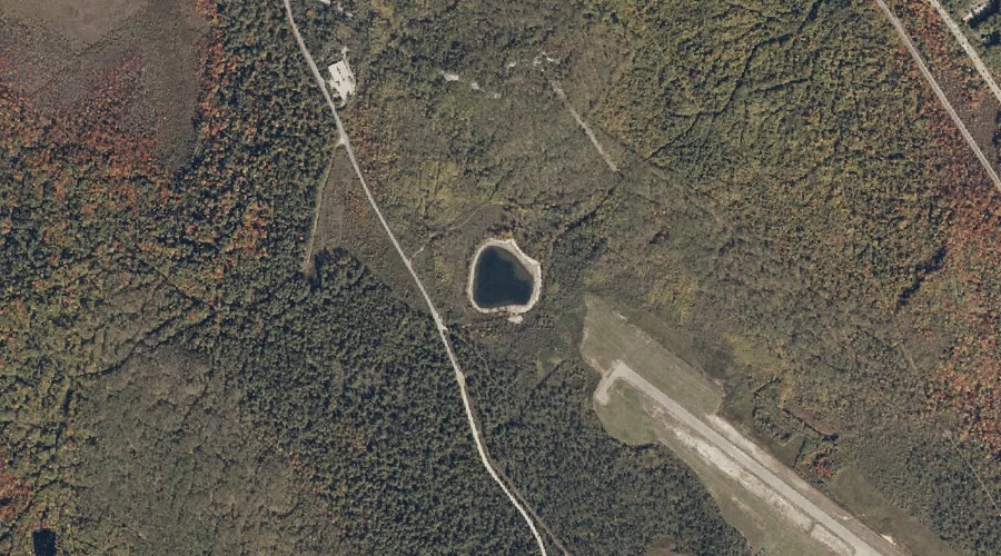
Round Pond is a lake in Oxford County, Maine, located about 29.4 miles south-southwest of Chapman Inn in Bethel, Maine. It appears on the USGS Brownfield topographic quadrangle.
Starks Mountain is a summit in Oxford County, Maine, located about 29.5 miles south-southwest of Chapman Inn in Bethel, Maine. It appears on the USGS Fryeburg topographic quadrangle.
Squirrel Island is a island in Oxford County, Maine, located about 29.5 miles south-southeast of Chapman Inn in Bethel, Maine. It appears on the USGS Mechanic Falls topographic…
Metallak Stream is a stream in Oxford County, Maine, located about 29.4 miles north of Chapman Inn in Bethel, Maine. It appears on the USGS Metallak Mountain topographic…
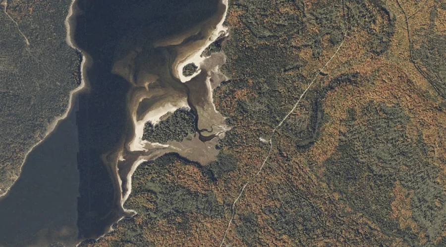
Sunday Cove is a bay in Oxford County, Maine, located about 29.3 miles north-northwest of Chapman Inn in Bethel, Maine. It appears on the USGS Umbagog Lake North…