 Aerial imagery: USGS National Map (public domain)
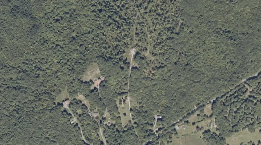
Oak Hill — Summits 41.8 Miles ESE of Chapman Inn
Kennebec County, Maine · USGS Monmouth Quadrangle · GNIS 572578
Catalogued on the USGS Monmouth quadrangle in Kennebec County, Maine, Oak Hill — a summit — lies 41.8 miles east-southeast of Chapman Inn.
Wikidata short description: “mountain in Kennebec County, Maine, United States of America (GNIS ID = 572578)”
Landmark Profile
Classification & USGS reference
Catalogued under GNIS Feature ID 572578, Oak Hill is recorded as a summit on the USGS Monmouth quadrangle in Kennebec County, Maine (FIPS 23/011). Last revised by the Board on Geographic Names on 03/03/2011.
Coordinates & physical setting
Oak Hill sits at 44.14609° N, 70.02617° W (DMS 44°08′46″ N, 70°01′34″ W).
Other summits in Kennebec County, Maine
Kennebec County, ME contains 46 summits catalogued in the USGS Geographic Names Information System, counting Oak Hill itself. The ones closest to Oak Hill:
| Feature | USGS Quadrangle | Elevation | Distance |
|---|---|---|---|
| Danforth Hill | Monmouth | — | 1 mi |
| Thompson Hill | Monmouth | — | 3.4 mi |
| Springer Hill | Purgatory | — | 4 mi |
| Woodbury Hills | Purgatory | — | 5 mi |
| Sawyer Hill | Monmouth | — | 5.6 mi |
| Dennis Hill | Purgatory | — | 6.1 mi |
| Lunts Hill | Purgatory | — | 6.3 mi |
| Prescott Hill | Monmouth | — | 6.3 mi |
| Norris Hill | Monmouth | — | 6.9 mi |
| Ward Hill | Wayne | — | 9.4 mi |
Features on the USGS Monmouth Quadrangle
The Monmouth 7.5-minute topographic quadrangle holds 21 catalogued natural features alongside Oak Hill. A sampling nearest to this location:
| Feature | Type | County | Offset |
|---|---|---|---|
| Oak Hill | Summits | Androscoggin County, ME | 0 mi |
| Hodgman Hill | Summits | Androscoggin County, ME | 0.7 mi |
| Danforth Hill | Summits | Kennebec County, ME | 1 mi |
| Maxwell Swamp | Swamps | Androscoggin County, ME | 1.1 mi |
| Sabattus Mountain | Summits | Androscoggin County, ME | 2.6 mi |
| Monmouth Ridge | Ridges | Kennebec County, ME | 3 mi |
| Thompson Hill | Summits | Kennebec County, ME | 3.4 mi |
| Marr Point | Capes | Androscoggin County, ME | 3.5 mi |
| Custer Pond | Lakes | Androscoggin County, ME | 3.6 mi |
| Dead River | Streams | Androscoggin County, ME | 3.7 mi |
Visiting from Chapman Inn
Distance, bearing & drive time
A 72-minute drive along back roads separates the front door of Chapman Inn from Oak Hill — 41.8 miles east-southeast as the crow flies, on compass bearing ESE.
Best time to visit
Accessible May through November in most years. At this latitude (44.146°), the shoulder seasons are workable — April and November can be comfortable on mild years. At 41.8 miles from the Inn, block the full day — sunrise start, late return, packed meals. Conditions at Oak Hill track the nearby Oak Hill summit (essentially adjacent) closely — if that is runnable, so is this.
Nearest features to Oak Hill
| Feature | Type | County | Distance |
|---|---|---|---|
| Oak Hill | Summits | Androscoggin County, ME | 0 mi |
| Hodgman Hill | Summits | Androscoggin County, ME | 0.7 mi |
| Danforth Hill | Summits | Kennebec County, ME | 1 mi |
| Maxwell Swamp | Swamps | Androscoggin County, ME | 1.1 mi |
| Jimmy Pond | Lakes | Kennebec County, ME | 1.6 mi |
Frequently Asked Questions
Where is Oak Hill located?
Oak Hill is in Kennebec County, Maine, approximately 41.8 miles east-southeast of Chapman Inn in Bethel, Maine. It appears on the USGS Monmouth topographic quadrangle.
How far is Oak Hill from Chapman Inn?
The drive runs about 72 minutes, 41.8 miles east-southeast (bearing ESE) of the Inn.
What type of natural feature is Oak Hill?
The U.S. Geological Survey classifies Oak Hill as a summit, catalogued under GNIS Feature ID 572578 on the Monmouth quadrangle.
When is the best time to visit Oak Hill?
Accessible May through November in most years.
How many other summits are in Kennebec County, Maine?
GNIS lists 45 other summits in Kennebec County, Maine.
Wikidata: Q33142174.