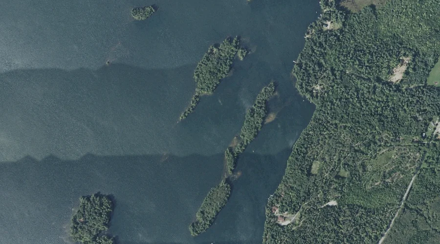
Long Island is a island in Kennebec County, Maine, located about 43.9 miles east-southeast of Chapman Inn in Bethel, Maine. It appears on the USGS Purgatory topographic quadrangle.
Pinkham Island is a island in Kennebec County, Maine, located about 43.8 miles east-southeast of Chapman Inn in Bethel, Maine. It appears on the USGS Purgatory topographic quadrangle.
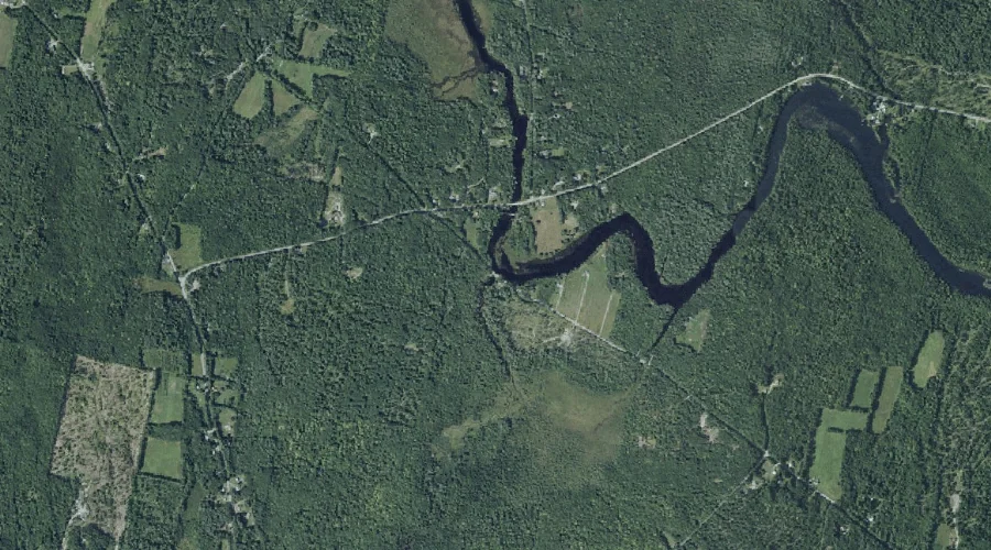
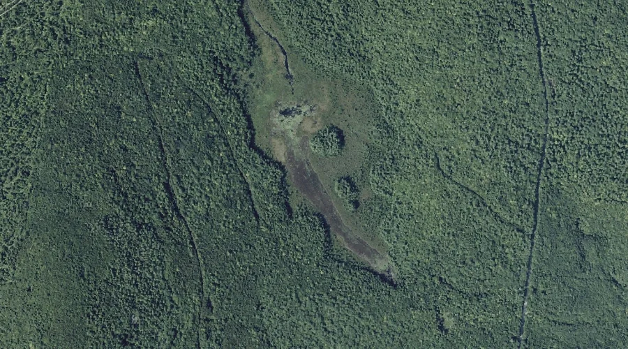
Bog Stream is a stream in Kennebec County, Maine, located about 43.8 miles east of Chapman Inn in Bethel, Maine. It appears on the USGS Readfield topographic quadrangle.
Kezar Brook is a stream in Kennebec County, Maine, located about 43.8 miles east of Chapman Inn in Bethel, Maine. It appears on the USGS Winthrop topographic quadrangle.
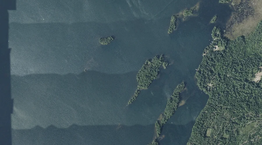
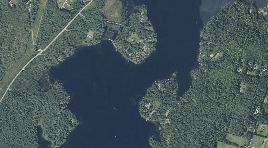
Woodbury Pond is a reservoir in Kennebec County, Maine, located about 43.8 miles east-southeast of Chapman Inn in Bethel, Maine. It appears on the USGS Purgatory topographic quadrangle.
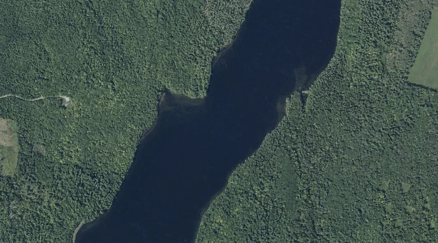
Little Purgatory Pond is a lake in Kennebec County, Maine, located about 43.7 miles east-southeast of Chapman Inn in Bethel, Maine. It appears on the USGS Purgatory topographic…
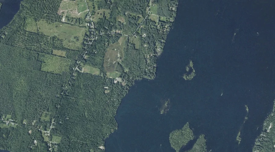
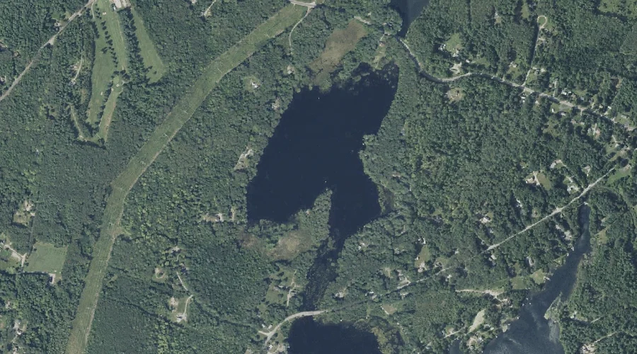
Beaver Pond is a lake in Kennebec County, Maine, located about 43.7 miles east-northeast of Chapman Inn in Bethel, Maine. It appears on the USGS Belgrade Lakes topographic…
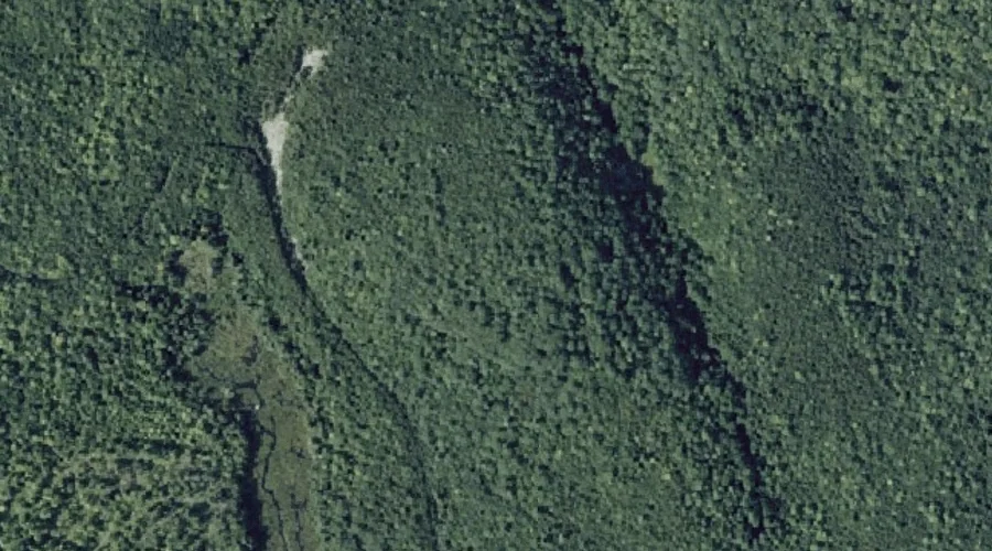
Sanders Hill is a summit in Kennebec County, Maine, located about 43.7 miles east-northeast of Chapman Inn in Bethel, Maine. It appears on the USGS Belgrade Lakes topographic…
Roberts Hill is a summit in Kennebec County, Maine, located about 43.7 miles east-northeast of Chapman Inn in Bethel, Maine. It appears on the USGS Belgrade Lakes topographic…
Carleton Pond is a reservoir in Kennebec County, Maine, located about 43.7 miles east of Chapman Inn in Bethel, Maine. It appears on the USGS Winthrop topographic quadrangle.