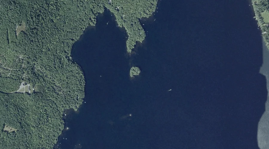
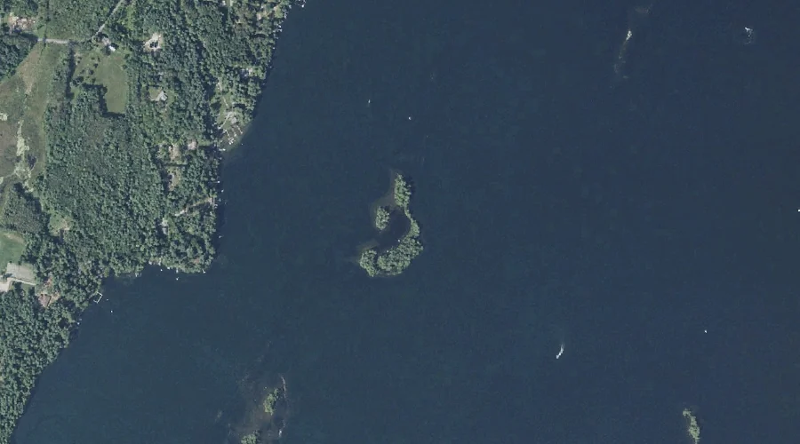
Frink Island is a island in Kennebec County, Maine, located about 44.5 miles east-northeast of Chapman Inn in Bethel, Maine. It appears on the USGS Belgrade Lakes topographic…
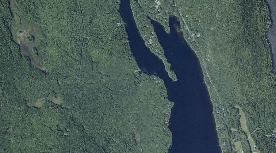
Lily Pond is a lake in Kennebec County, Maine, located about 44.5 miles east-southeast of Chapman Inn in Bethel, Maine. It appears on the USGS Winthrop topographic quadrangle.
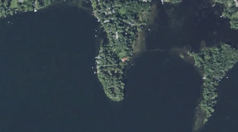
Welch Point is a cape in Kennebec County, Maine, located about 44.5 miles east of Chapman Inn in Bethel, Maine. It appears on the USGS Winthrop topographic quadrangle.
Springer Hill is a summit in Kennebec County, Maine, located about 44.6 miles east-southeast of Chapman Inn in Bethel, Maine. It appears on the USGS Purgatory topographic quadrangle.
Beaver Brook is a stream in Kennebec County, Maine, located about 44.6 miles east-northeast of Chapman Inn in Bethel, Maine. It appears on the USGS Belgrade Lakes topographic…
Pinewold Point is a cape in Kennebec County, Maine, located about 44.6 miles east of Chapman Inn in Bethel, Maine. It appears on the USGS Belgrade Lakes topographic…
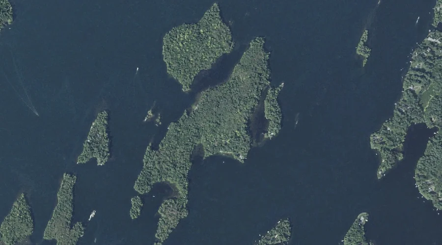
Hodgdon Island is a island in Kennebec County, Maine, located about 44.4 miles east of Chapman Inn in Bethel, Maine. It appears on the USGS Winthrop topographic quadrangle.
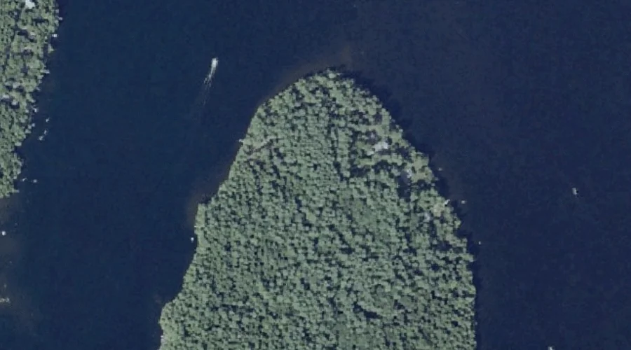
Upper Sister Island is a island in Kennebec County, Maine, located about 44.3 miles east of Chapman Inn in Bethel, Maine. It appears on the USGS Winthrop topographic…
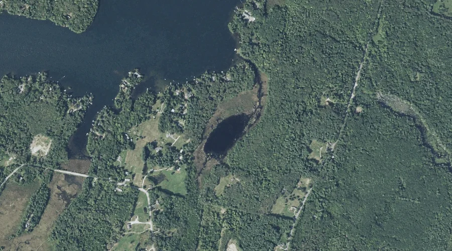
Gilman Dam Pond is a reservoir in Kennebec County, Maine, located about 44.4 miles east-southeast of Chapman Inn in Bethel, Maine. It appears on the USGS Purgatory topographic…
Watson Pond is a lake in Kennebec County, Maine, located about 44.2 miles east-northeast of Chapman Inn in Bethel, Maine. It appears on the USGS Belgrade Lakes topographic…