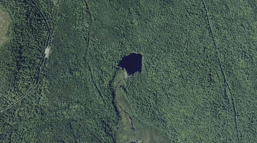
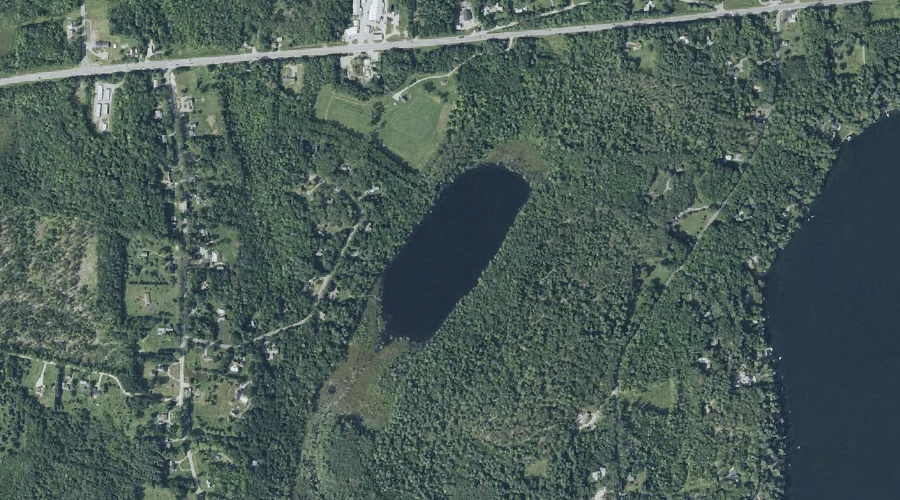
Round Pond is a lake in Kennebec County, Maine, located about 43.7 miles east-northeast of Chapman Inn in Bethel, Maine. It appears on the USGS Belgrade Lakes topographic…
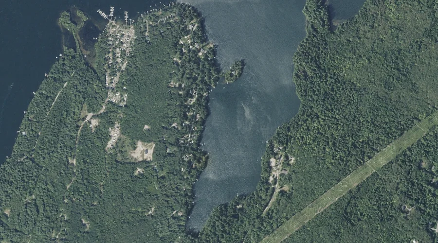
Richards Island is a island in Kennebec County, Maine, located about 43.6 miles east-southeast of Chapman Inn in Bethel, Maine. It appears on the USGS Winthrop topographic quadrangle.
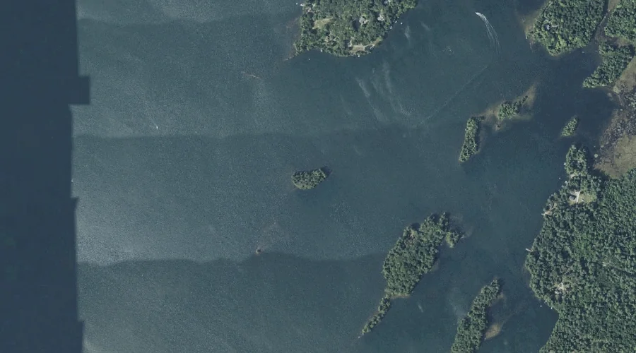
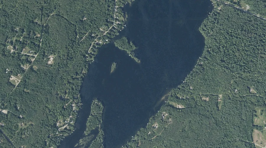
True Cove is a bay in Kennebec County, Maine, located about 43.6 miles east-southeast of Chapman Inn in Bethel, Maine. It appears on the USGS Purgatory topographic quadrangle.
Ingham Stream is a stream in Kennebec County, Maine, located about 43.6 miles east of Chapman Inn in Bethel, Maine. It appears on the USGS Readfield topographic quadrangle.
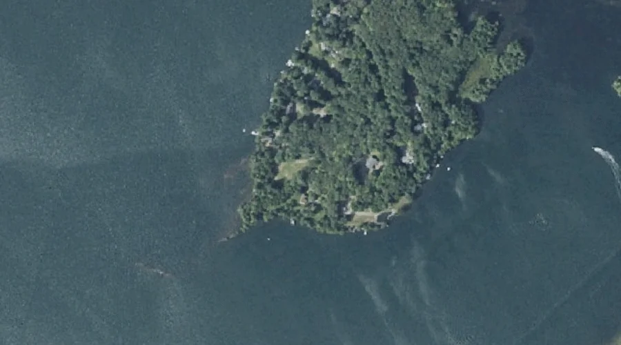
Crams Point is a cape in Kennebec County, Maine, located about 43.6 miles east-southeast of Chapman Inn in Bethel, Maine. It appears on the USGS Winthrop topographic quadrangle.
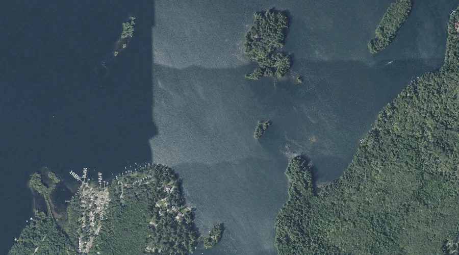
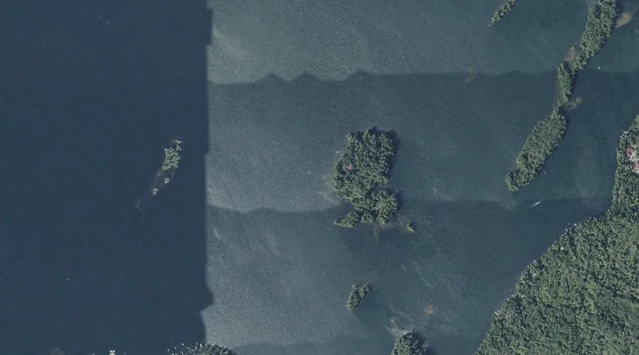
LeClair Island is a island in Kennebec County, Maine, located about 43.6 miles east-southeast of Chapman Inn in Bethel, Maine. It appears on the USGS Purgatory topographic quadrangle.
Green Island is a island in Kennebec County, Maine, located about 43.5 miles east of Chapman Inn in Bethel, Maine. It appears on the USGS Readfield topographic quadrangle.
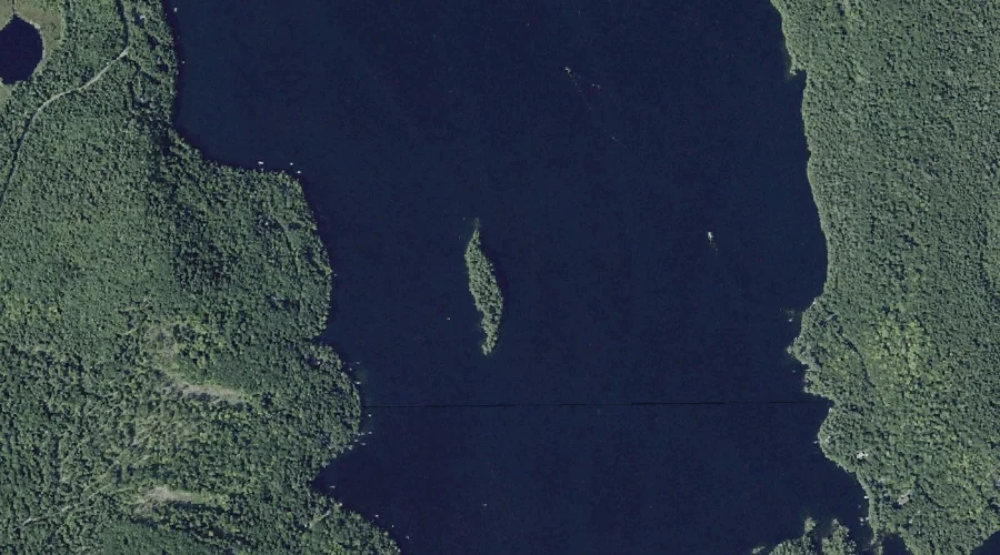
Goodwin Island is a island in Kennebec County, Maine, located about 43.5 miles east-southeast of Chapman Inn in Bethel, Maine. It appears on the USGS Purgatory topographic quadrangle.
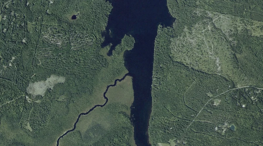
Kezar Pond is a lake in Kennebec County, Maine, located about 43.5 miles east of Chapman Inn in Bethel, Maine. It appears on the USGS Winthrop topographic quadrangle.
Sand Pond is a lake in Kennebec County, Maine, located about 43.4 miles east-southeast of Chapman Inn in Bethel, Maine. It appears on the USGS Purgatory topographic quadrangle.