 Aerial imagery: USGS National Map (public domain)
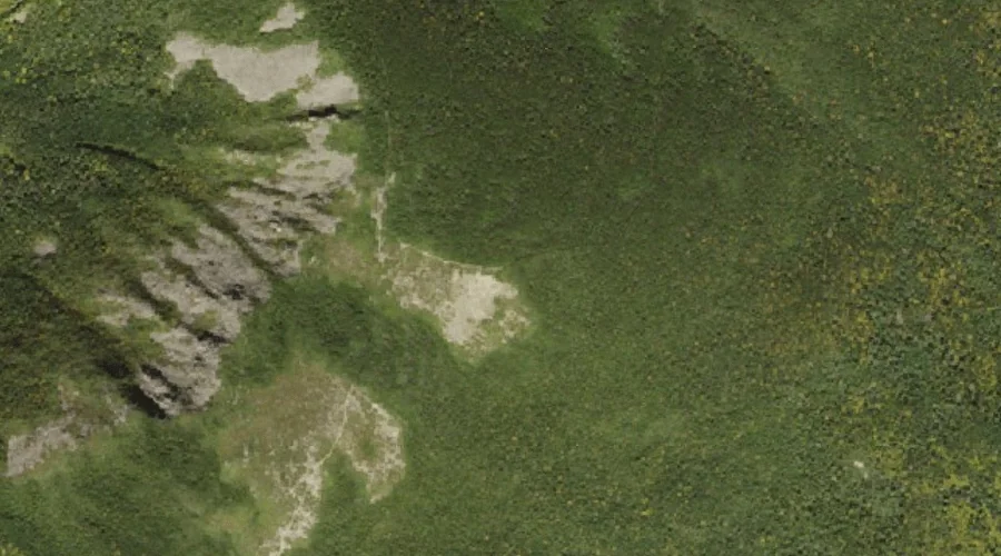
Mount Guyot — Summits 40.3 Miles WSW of Chapman Inn
Grafton County, New Hampshire · USGS South Twin Mountain Quadrangle · GNIS 871988
Within Grafton County, New Hampshire, on the USGS South Twin Mountain quadrangle, the summit known as Mount Guyot sits 40.3 miles west-southwest of Chapman Inn.
Landmark Profile
Classification & USGS reference
Within Grafton County, New Hampshire, the U.S. Geological Survey lists Mount Guyot as a summit on the South Twin Mountain topographic quadrangle (FIPS 33/009), under Feature ID 871988. Last revised by the Board on Geographic Names on 11/24/2020.
Coordinates & physical setting
Mount Guyot sits at 44.16811° N, 71.53397° W (DMS 44°10′05″ N, 71°32′02″ W).
Other summits in Grafton County, New Hampshire
Grafton County, NH contains 93 summits catalogued in the USGS Geographic Names Information System, counting Mount Guyot itself. The ones closest to Mount Guyot:
| Feature | USGS Quadrangle | Elevation | Distance |
|---|---|---|---|
| Mount Bond | South Twin Mountain | — | 1.1 mi |
| South Twin Mountain | South Twin Mountain | — | 1.7 mi |
| Galehead Mountain | South Twin Mountain | — | 2.3 mi |
| North Twin Mountain | South Twin Mountain | — | 2.7 mi |
| Whitewall Mount | Crawford Notch | — | 3.2 mi |
| Mount Hale | South Twin Mountain | 4,049 ft | 3.9 mi |
| Mount Garfield | South Twin Mountain | — | 4 mi |
| Owls Head | South Twin Mountain | — | 4.1 mi |
| Flat Top Mountain | South Twin Mountain | — | 4.3 mi |
| Haystack Mountain | South Twin Mountain | — | 4.9 mi |
Features on the USGS South Twin Mountain Quadrangle
The South Twin Mountain 7.5-minute topographic quadrangle holds 22 catalogued natural features alongside Mount Guyot. A sampling nearest to this location:
| Feature | Type | County | Offset |
|---|---|---|---|
| Zealand Ridge | Ridges | Grafton County, NH | 1 mi |
| Mount Bond | Summits | Grafton County, NH | 1.1 mi |
| South Twin Mountain | Summits | Grafton County, NH | 1.7 mi |
| Zeacliff Pond | Lakes | Grafton County, NH | 1.7 mi |
| The Cliffs | Cliffs | Grafton County, NH | 1.9 mi |
| Galehead Mountain | Summits | Grafton County, NH | 2.3 mi |
| North Twin Mountain | Summits | Grafton County, NH | 2.7 mi |
| Twin Brook | Streams | Grafton County, NH | 2.7 mi |
| Redrock Brook | Streams | Grafton County, NH | 2.9 mi |
| Thirteen Falls | Waterfalls | Grafton County, NH | 3.1 mi |
Visiting from Chapman Inn
Distance, bearing & drive time
Follow the compass bearing WSW out of Bethel for 40.3 miles (west-southwest) and you reach Mount Guyot; at typical rural speeds the trip runs roughly 69 minutes.
Best time to visit
Accessible May through November in most years. At this latitude (44.168°), the shoulder seasons are workable — April and November can be comfortable on mild years. At 40.3 miles from the Inn, block the full day — sunrise start, late return, packed meals. Conditions at Mount Guyot track the nearby Zealand Ridge (1.0 mi away) closely — if that is runnable, so is this.
Nearest features to Mount Guyot
| Feature | Type | County | Distance |
|---|---|---|---|
| Zealand Ridge | Ridges | Grafton County, NH | 1 mi |
| Mount Bond | Summits | Grafton County, NH | 1.1 mi |
| South Twin Mountain | Summits | Grafton County, NH | 1.7 mi |
| Zeacliff Pond | Lakes | Grafton County, NH | 1.7 mi |
| The Cliffs | Cliffs | Grafton County, NH | 1.9 mi |
Frequently Asked Questions
Where is Mount Guyot located?
Mount Guyot is in Grafton County, New Hampshire, approximately 40.3 miles west-southwest of Chapman Inn in Bethel, Maine. It appears on the USGS South Twin Mountain topographic quadrangle.
How far is Mount Guyot from Chapman Inn?
The drive runs about 69 minutes, 40.3 miles west-southwest (bearing WSW) of the Inn.
What type of natural feature is Mount Guyot?
The U.S. Geological Survey classifies Mount Guyot as a summit, catalogued under GNIS Feature ID 871988 on the South Twin Mountain quadrangle.
When is the best time to visit Mount Guyot?
Accessible May through November in most years.
How many other summits are in Grafton County, New Hampshire?
GNIS lists 92 other summits in Grafton County, New Hampshire.