Spring Brook is a stream in Grafton County, New Hampshire, located about 44.0 miles southwest of Chapman Inn in Bethel, Maine. It appears on the USGS Mount Chocorua…
The Bowl is a basin in Grafton County, New Hampshire, located about 44.0 miles southwest of Chapman Inn in Bethel, Maine. It appears on the USGS Mount Tripyramid…
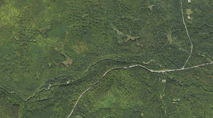
Lincoln Brook is a stream in Grafton County, New Hampshire, located about 44.0 miles west-southwest of Chapman Inn in Bethel, Maine. It appears on the USGS Mount Osceola…
Beaver Brook is a stream in Grafton County, New Hampshire, located about 44.0 miles west-southwest of Chapman Inn in Bethel, Maine. It appears on the USGS Franconia topographic…
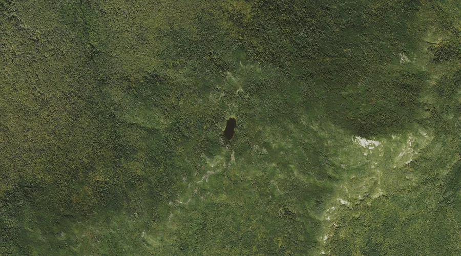
Garfield Pond is a lake in Grafton County, New Hampshire, located about 43.7 miles west-southwest of Chapman Inn in Bethel, Maine. It appears on the USGS South Twin…
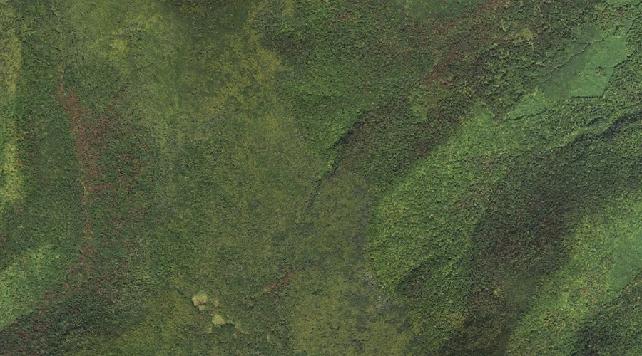
Mount Kancamagus is a summit in Grafton County, New Hampshire, located about 43.7 miles southwest of Chapman Inn in Bethel, Maine. It appears on the USGS Mount Carrigain…
Livermore Pass is a mountain gap in Grafton County, New Hampshire, located about 43.7 miles southwest of Chapman Inn in Bethel, Maine. It appears on the USGS Mount…
Scaur Peak is a summit in Grafton County, New Hampshire, located about 43.7 miles southwest of Chapman Inn in Bethel, Maine. It appears on the USGS Mount Tripyramid…
Mount Hitchcock is a summit in Grafton County, New Hampshire, located about 43.6 miles west-southwest of Chapman Inn in Bethel, Maine. It appears on the USGS Mount Osceola…
Kancamagus Pass is a mountain gap in Grafton County, New Hampshire, located about 43.6 miles southwest of Chapman Inn in Bethel, Maine. It appears on the USGS Mount…