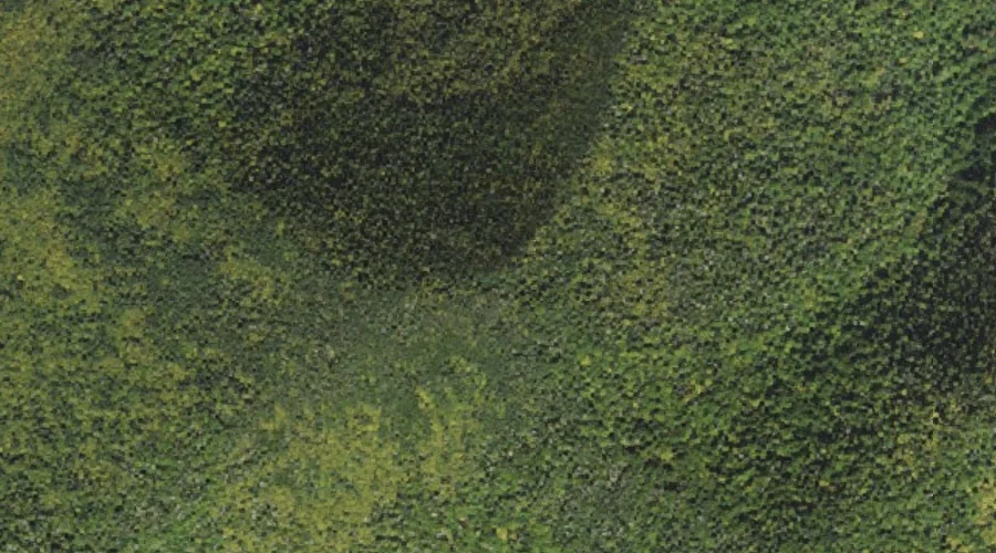
 Aerial imagery: USGS National Map (public domain)
Scaur Peak — Summits 43.7 Miles SW of Chapman Inn
Grafton County, New Hampshire · USGS Mount Tripyramid Quadrangle · GNIS 872635
Catalogued on the USGS Mount Tripyramid quadrangle in Grafton County, New Hampshire, Scaur Peak — a summit — lies 43.7 miles southwest of Chapman Inn.
Wikidata short description: “mountain in United States of America”
Landmark Profile
Classification & USGS reference
Catalogued under GNIS Feature ID 872635, Scaur Peak is recorded as a summit on the USGS Mount Tripyramid quadrangle in Grafton County, New Hampshire (FIPS 33/009). Last revised by the Board on Geographic Names on 11/24/2020.
Coordinates & physical setting
Scaur Peak sits at 43.98515° N, 71.45010° W (DMS 43°59′07″ N, 71°27′00″ W).
Other summits in Grafton County, New Hampshire
Grafton County, NH contains 93 summits catalogued in the USGS Geographic Names Information System, counting Scaur Peak itself. The ones closest to Scaur Peak:
| Feature | USGS Quadrangle | Elevation | Distance |
|---|---|---|---|
| North Peak | Mount Tripyramid | — | 0.9 mi |
| Mount Tripyramid | Mount Tripyramid | — | 0.9 mi |
| The Fool Killer | Mount Tripyramid | — | 1.2 mi |
| Flume Peak | Mount Tripyramid | — | 1.5 mi |
| Middle Peak | Mount Tripyramid | — | 1.5 mi |
| South Peak | Mount Tripyramid | — | 1.8 mi |
| The Scaur | Mount Tripyramid | — | 2.1 mi |
| The Sleepers | Mount Tripyramid | 3,881 ft | 2.3 mi |
| Mount Kancamagus | Mount Carrigain | — | 2.3 mi |
| Potash Mountain | Mount Tripyramid | — | 3 mi |
Features on the USGS Mount Tripyramid Quadrangle
The Mount Tripyramid 7.5-minute topographic quadrangle holds 39 catalogued natural features alongside Scaur Peak. A sampling nearest to this location:
| Feature | Type | County | Offset |
|---|---|---|---|
| North Slide | Gaps | Grafton County, NH | 0.6 mi |
| North Peak | Summits | Grafton County, NH | 0.9 mi |
| Mount Tripyramid | Summits | Grafton County, NH | 0.9 mi |
| Livermore Pass | Gaps | Grafton County, NH | 1 mi |
| The Fool Killer | Summits | Grafton County, NH | 1.2 mi |
| Flume Peak | Summits | Grafton County, NH | 1.5 mi |
| Middle Peak | Summits | Grafton County, NH | 1.5 mi |
| Slide Brook | Streams | Grafton County, NH | 1.7 mi |
| Cold Brook | Streams | Grafton County, NH | 1.7 mi |
| South Peak | Summits | Grafton County, NH | 1.8 mi |
Visiting from Chapman Inn
Distance, bearing & drive time
A 75-minute drive along back roads separates the front door of Chapman Inn from Scaur Peak — 43.7 miles southwest as the crow flies, on compass bearing SW.
Best time to visit
Accessible May through November in most years. At this latitude (43.985°), the shoulder seasons are workable — April and November can be comfortable on mild years. At 43.7 miles from the Inn, block the full day — sunrise start, late return, packed meals. Conditions at Scaur Peak track the nearby North Slide mountain gap (0.6 mi away) closely — if that is runnable, so is this.
Nearest features to Scaur Peak
| Feature | Type | County | Distance |
|---|---|---|---|
| North Slide | Gaps | Grafton County, NH | 0.6 mi |
| North Peak | Summits | Grafton County, NH | 0.9 mi |
| Mount Tripyramid | Summits | Grafton County, NH | 0.9 mi |
| Livermore Pass | Gaps | Grafton County, NH | 1 mi |
| The Fool Killer | Summits | Grafton County, NH | 1.2 mi |
Frequently Asked Questions
Where is Scaur Peak located?
Scaur Peak is in Grafton County, New Hampshire, approximately 43.7 miles southwest of Chapman Inn in Bethel, Maine. It appears on the USGS Mount Tripyramid topographic quadrangle.
How far is Scaur Peak from Chapman Inn?
The drive runs about 75 minutes, 43.7 miles southwest (bearing SW) of the Inn.
What type of natural feature is Scaur Peak?
The U.S. Geological Survey classifies Scaur Peak as a summit, catalogued under GNIS Feature ID 872635 on the Mount Tripyramid quadrangle.
When is the best time to visit Scaur Peak?
Accessible May through November in most years.
How many other summits are in Grafton County, New Hampshire?
GNIS lists 92 other summits in Grafton County, New Hampshire.
Wikidata: Q34904203.