Swett Brook is a stream in Franklin County, Maine, located about 25.7 miles northeast of Chapman Inn in Bethel, Maine. It appears on the USGS Weld topographic quadrangle.
Snowman Brook is a stream in Franklin County, Maine, located about 25.7 miles northeast of Chapman Inn in Bethel, Maine. It appears on the USGS Weld topographic quadrangle.
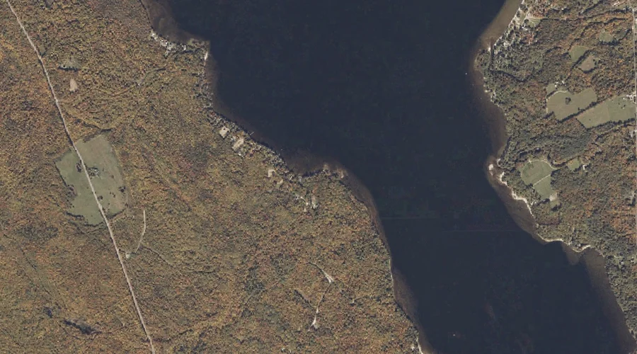
Tumbledown Brook is a stream in Franklin County, Maine, located about 25.6 miles north-northeast of Chapman Inn in Bethel, Maine. It appears on the USGS Roxbury topographic quadrangle.
Cram Brook is a stream in Franklin County, Maine, located about 25.4 miles east-northeast of Chapman Inn in Bethel, Maine. It appears on the USGS East Dixfield topographic…
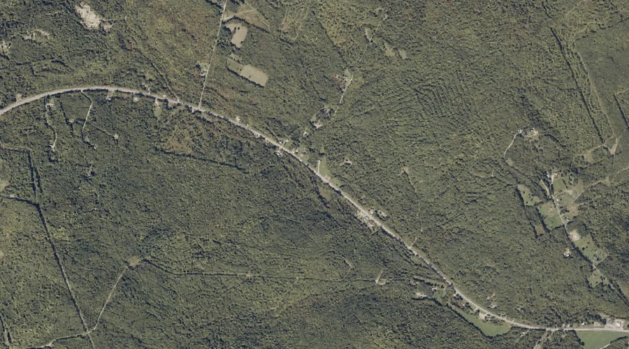
Byron Notch is a mountain gap in Franklin County, Maine, located about 25.2 miles north-northeast of Chapman Inn in Bethel, Maine. It appears on the USGS Roxbury topographic…
Grays Mountain is a summit in Franklin County, Maine, located about 24.1 miles east-northeast of Chapman Inn in Bethel, Maine. It appears on the USGS Dixfield topographic quadrangle.
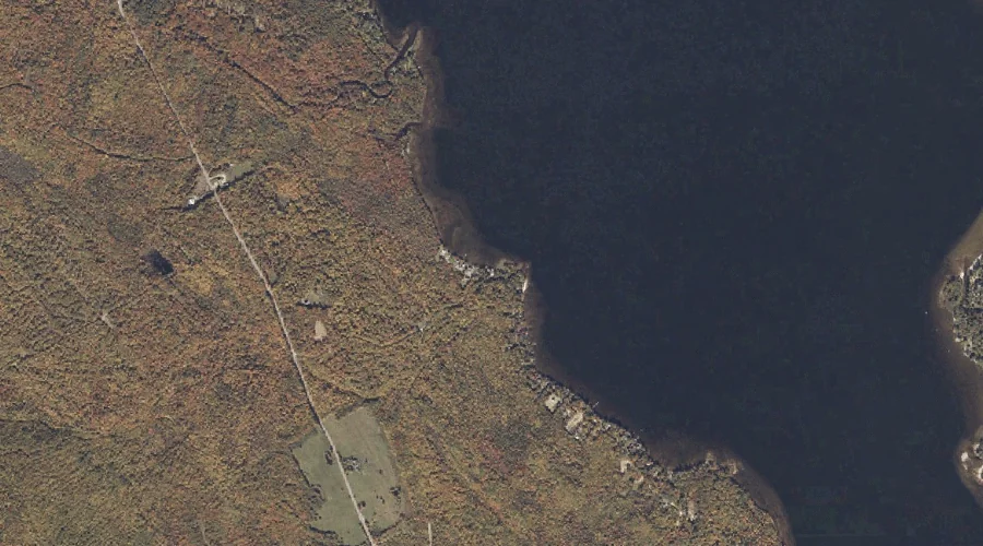
Green Brook is a stream in Franklin County, Maine, located about 23.9 miles northeast of Chapman Inn in Bethel, Maine. It appears on the USGS Weld topographic quadrangle.
Berry Brook is a stream in Franklin County, Maine, located about 23.9 miles northeast of Chapman Inn in Bethel, Maine. It appears on the USGS Weld topographic quadrangle.
Old Blue Mountain is a summit in Franklin County, Maine, located about 23.7 miles north of Chapman Inn in Bethel, Maine. It appears on the USGS Andover topographic…
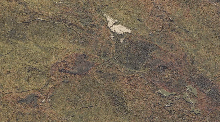
Cobble Hill is a summit in Franklin County, Maine, located about 23.3 miles northeast of Chapman Inn in Bethel, Maine. It appears on the USGS Weld topographic quadrangle.