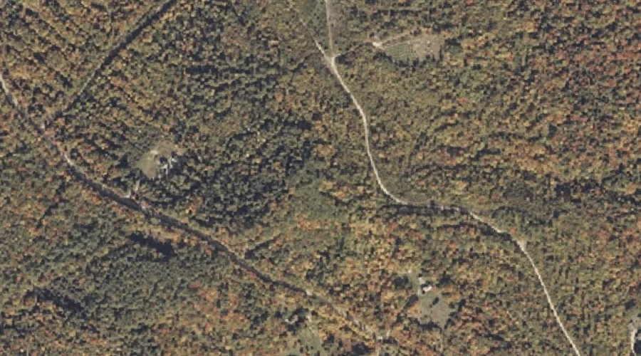
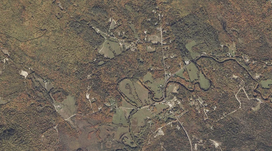
Basin Brook is a stream in Franklin County, Maine, located about 23.4 miles northeast of Chapman Inn in Bethel, Maine. It appears on the USGS Weld topographic quadrangle.
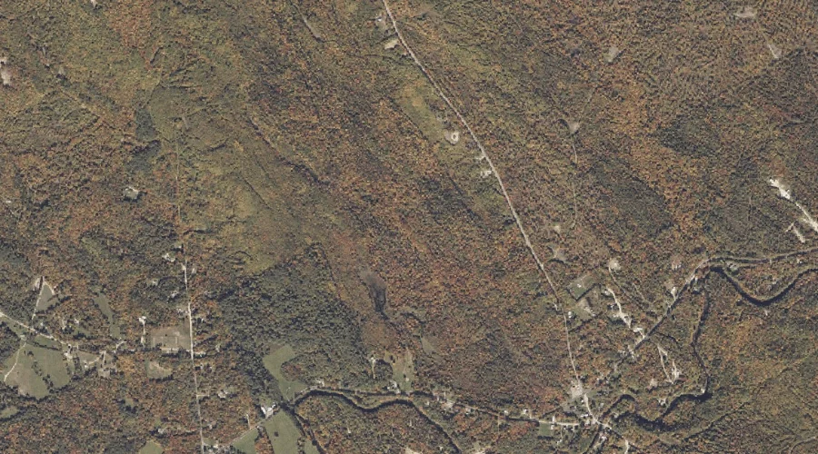
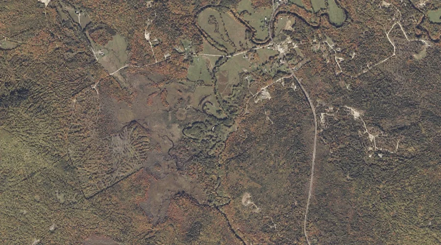
Storer Hill is a summit in Franklin County, Maine, located about 23.0 miles northeast of Chapman Inn in Bethel, Maine. It appears on the USGS Dixfield topographic quadrangle.
Lapham Brook is a stream in Franklin County, Maine, located about 22.8 miles northeast of Chapman Inn in Bethel, Maine. It appears on the USGS Weld topographic quadrangle.
Podunk Pond is a lake in Franklin County, Maine, located about 22.8 miles northeast of Chapman Inn in Bethel, Maine. It appears on the USGS Dixfield topographic quadrangle.
Spruce Mountain is a summit in Franklin County, Maine, located about 22.5 miles northeast of Chapman Inn in Bethel, Maine. It appears on the USGS Roxbury topographic quadrangle.
Durgin Brook is a stream in Franklin County, Maine, located about 22.4 miles northeast of Chapman Inn in Bethel, Maine. It appears on the USGS Dixfield topographic quadrangle.
Dunning Brook is a stream in Franklin County, Maine, located about 22.4 miles northeast of Chapman Inn in Bethel, Maine. It appears on the USGS Weld topographic quadrangle.
Potter Hill is a summit in Franklin County, Maine, located about 22.0 miles northeast of Chapman Inn in Bethel, Maine. It appears on the USGS Dixfield topographic quadrangle.
Hutchinson Brook is a stream in Franklin County, Maine, located about 21.7 miles northeast of Chapman Inn in Bethel, Maine. It appears on the USGS Weld topographic quadrangle.
Hanscom Brook is a stream in Franklin County, Maine, located about 21.2 miles northeast of Chapman Inn in Bethel, Maine. It appears on the USGS Dixfield topographic quadrangle.