Rand Ridge is a ridge in Franklin County, Maine, located about 26.5 miles northeast of Chapman Inn in Bethel, Maine. It appears on the USGS Weld topographic quadrangle.
Nebo Mountain is a summit in Franklin County, Maine, located about 26.5 miles east-northeast of Chapman Inn in Bethel, Maine. It appears on the USGS East Dixfield topographic…
Browns Peak is a summit in Franklin County, Maine, located about 26.5 miles east-northeast of Chapman Inn in Bethel, Maine. It appears on the USGS East Dixfield topographic…
Saddleback Mountain is a summit in Franklin County, Maine, located about 26.3 miles northeast of Chapman Inn in Bethel, Maine. It appears on the USGS Mount Blue topographic…
Cherry Hill is a summit in Franklin County, Maine, located about 26.3 miles northeast of Chapman Inn in Bethel, Maine. It appears on the USGS Weld topographic quadrangle.
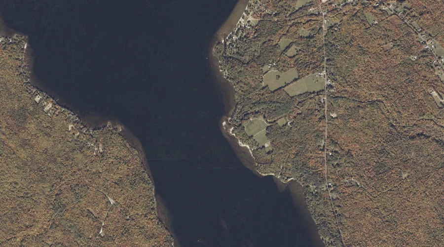
Webb Lake is a lake in Franklin County, Maine, located about 26.2 miles northeast of Chapman Inn in Bethel, Maine. It appears on the USGS Weld topographic quadrangle.
West Brook is a stream in Franklin County, Maine, located about 26.0 miles northeast of Chapman Inn in Bethel, Maine. It appears on the USGS Weld topographic quadrangle.
Green Hill is a summit in Franklin County, Maine, located about 26.1 miles northeast of Chapman Inn in Bethel, Maine. It appears on the USGS Weld topographic quadrangle.
Butterfield Hill is a summit in Franklin County, Maine, located about 26.1 miles east-northeast of Chapman Inn in Bethel, Maine. It appears on the USGS East Dixfield topographic…
Bowley Brook is a stream in Franklin County, Maine, located about 26.1 miles northeast of Chapman Inn in Bethel, Maine. It appears on the USGS Weld topographic quadrangle.