Yeaton Brook is a stream in Franklin County, Maine, located about 26.9 miles northeast of Chapman Inn in Bethel, Maine. It appears on the USGS Weld topographic quadrangle.
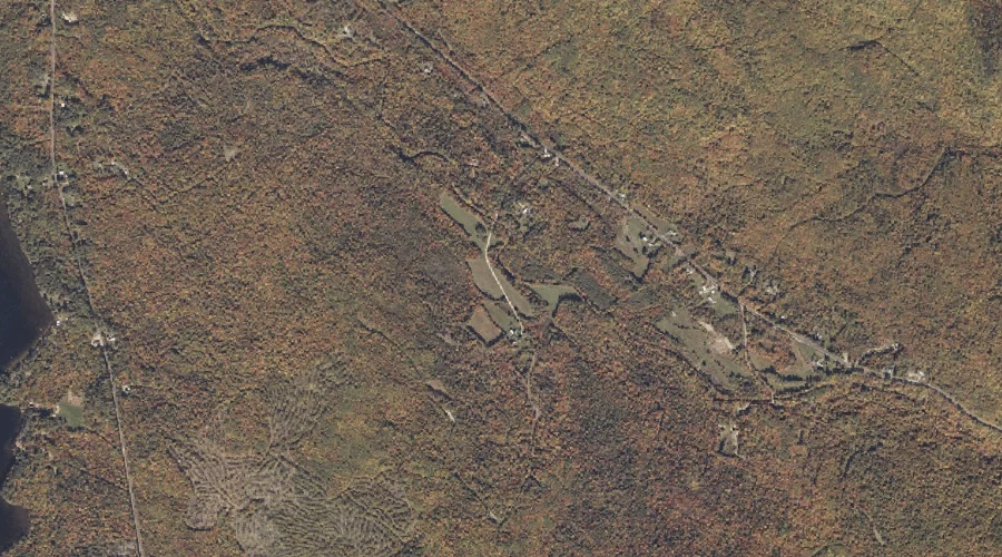
Butterfield Brook is a stream in Franklin County, Maine, located about 26.7 miles east-northeast of Chapman Inn in Bethel, Maine. It appears on the USGS East Dixfield topographic…
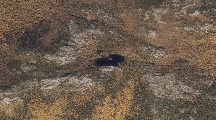
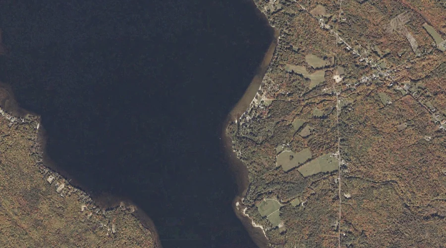
Tumbledown Pond is a lake in Franklin County, Maine, located about 26.8 miles north-northeast of Chapman Inn in Bethel, Maine. It appears on the USGS Roxbury topographic quadrangle.
Potash Brook is a stream in Franklin County, Maine, located about 26.8 miles east-northeast of Chapman Inn in Bethel, Maine. It appears on the USGS East Dixfield topographic…
Paine Hill is a summit in Franklin County, Maine, located about 26.5 miles east-northeast of Chapman Inn in Bethel, Maine. It appears on the USGS East Dixfield topographic…
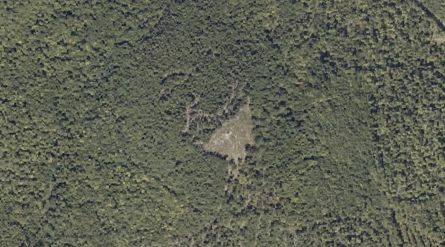
Mountain Brook is a stream in Franklin County, Maine, located about 26.6 miles north of Chapman Inn in Bethel, Maine. It appears on the USGS Houghton topographic quadrangle.
Tumbledown Mountain is a summit in Franklin County, Maine, located about 26.6 miles north-northeast of Chapman Inn in Bethel, Maine. It rises to 3,054 feet above sea level,…
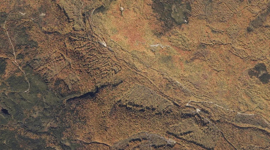
Angel Falls is a waterfall in Franklin County, Maine, located about 26.4 miles north of Chapman Inn in Bethel, Maine. It appears on the USGS Houghton topographic quadrangle.
Houghton Brook is a stream in Franklin County, Maine, located about 26.4 miles northeast of Chapman Inn in Bethel, Maine. It appears on the USGS Weld topographic quadrangle.
Bachelor Brook is a stream in Franklin County, Maine, located about 26.5 miles northeast of Chapman Inn in Bethel, Maine. It appears on the USGS Weld topographic quadrangle.