 Aerial imagery: USGS National Map (public domain)
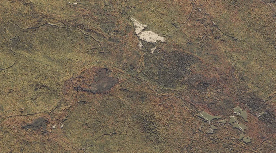
Tumbledown Brook — Streams 25.6 Miles NNE of Chapman Inn
Franklin County, Maine · USGS Roxbury Quadrangle · GNIS 577395
25.6 miles north-northeast of Chapman Inn, on the USGS Roxbury topographic quadrangle, Tumbledown Brook is a stream recorded in Franklin County, Maine by the federal Geographic Names Information System.
Landmark Profile
Classification & USGS reference
The USGS Roxbury 7.5-minute topographic quadrangle places Tumbledown Brook in Franklin County, Maine (FIPS 23/007), classified as a stream in the federal GNIS (Feature ID 577395). Catalogued in GNIS since 09/30/1980.
Coordinates & physical setting
Tumbledown Brook sits at 44.71700° N, 70.50840° W (DMS 44°43′01″ N, 70°30′30″ W).
As a linear feature its source lies near 44.74917° N, 70.54167° W (DMS 44°44′57″ N, 70°32′30″ W) — useful for anglers and paddlers tracing the upstream end.
Other streams in Franklin County, Maine
Franklin County, ME contains 134 streams catalogued in the USGS Geographic Names Information System, counting Tumbledown Brook itself. The ones closest to Tumbledown Brook:
| Feature | USGS Quadrangle | Distance |
|---|---|---|
| Bachelor Brook | Weld | 1.7 mi |
| West Brook | Weld | 2.3 mi |
| Rand Brook | Weld | 2.6 mi |
| Snowman Brook | Weld | 2.8 mi |
| Swett Brook | Weld | 3.5 mi |
| Houghton Brook | Weld | 3.8 mi |
| Parlin Brook | Weld | 3.8 mi |
| Bowley Brook | Weld | 4 mi |
| Keyes Brook | Weld | 4.3 mi |
| Fran Brook | Weld | 5.7 mi |
Features on the USGS Roxbury Quadrangle
The Roxbury 7.5-minute topographic quadrangle holds 19 catalogued natural features alongside Tumbledown Brook. A sampling nearest to this location:
| Feature | Type | County | Offset |
|---|---|---|---|
| Walker Mountain | Summits | Oxford County, ME | 2.8 mi |
| Tumbledown Pond | Lakes | Franklin County, ME | 2.8 mi |
| Muskrat Pond | Lakes | Oxford County, ME | 3 mi |
| West Mountain | Summits | Oxford County, ME | 3.1 mi |
| Byron Notch | Gaps | Franklin County, ME | 3.3 mi |
| Brush Mountain | Summits | Oxford County, ME | 3.4 mi |
| Spruce Mountain | Summits | Franklin County, ME | 3.4 mi |
| Stockbridge Branch | Streams | Oxford County, ME | 4.2 mi |
| Whale Back Mountain | Summits | Oxford County, ME | 4.8 mi |
| Noisy Brook | Streams | Oxford County, ME | 4.9 mi |
Visiting from Chapman Inn
Distance, bearing & drive time
Chapman Inn sits 25.6 miles north-northeast (bearing NNE) of Tumbledown Brook. At moderate back-road speeds the drive runs about 44 minutes — comfortably inside a half-day outing window after breakfast.
Best time to visit
Best observed in late spring and early summer when flow is strong and banks are visible. Being this far north (lat 44.717°), first snows typically arrive by mid-October and linger into early May — narrow the window accordingly. At 25.6 miles from the Inn, block the full day — sunrise start, late return, packed meals. Conditions at Tumbledown Brook track the nearby Rand Ridge (1.0 mi away) closely — if that is runnable, so is this.
Nearest features to Tumbledown Brook
| Feature | Type | County | Distance |
|---|---|---|---|
| Rand Ridge | Ridges | Franklin County, ME | 1 mi |
| Bachelor Brook | Streams | Franklin County, ME | 1.7 mi |
| West Brook | Streams | Franklin County, ME | 2.3 mi |
| Potter Hill | Summits | Franklin County, ME | 2.3 mi |
| Rand Brook | Streams | Franklin County, ME | 2.6 mi |
Frequently Asked Questions
Where is Tumbledown Brook located?
Tumbledown Brook is in Franklin County, Maine, approximately 25.6 miles north-northeast of Chapman Inn in Bethel, Maine. It appears on the USGS Roxbury topographic quadrangle.
How far is Tumbledown Brook from Chapman Inn?
The drive runs about 44 minutes, 25.6 miles north-northeast (bearing NNE) of the Inn.
What type of natural feature is Tumbledown Brook?
The U.S. Geological Survey classifies Tumbledown Brook as a stream, catalogued under GNIS Feature ID 577395 on the Roxbury quadrangle.
When is the best time to visit Tumbledown Brook?
Best observed in late spring and early summer when flow is strong and banks are visible.
How many other streams are in Franklin County, Maine?
GNIS lists 133 other streams in Franklin County, Maine.