 Aerial imagery: USGS National Map (public domain)
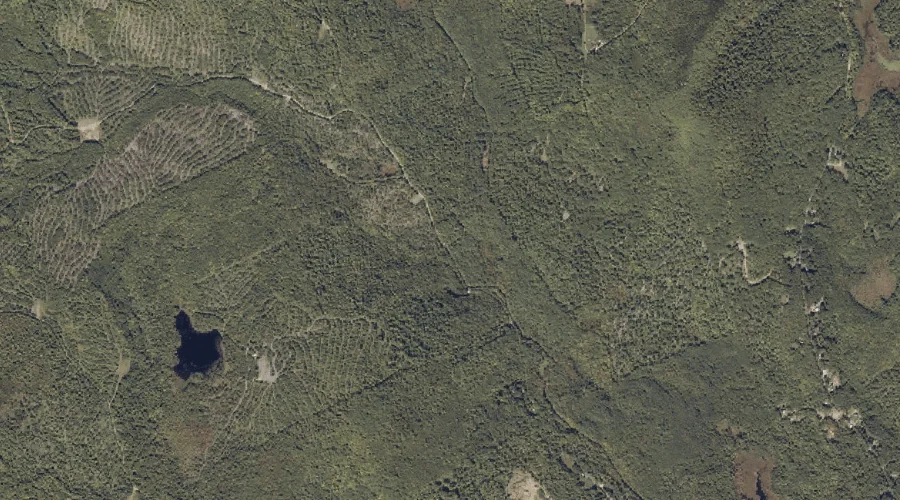
Conant Brook — Streams 33.5 Miles NE of Chapman Inn
Franklin County, Maine · USGS Mount Blue Quadrangle · GNIS 564271
Catalogued on the USGS Mount Blue quadrangle in Franklin County, Maine, Conant Brook — a stream — lies 33.5 miles northeast of Chapman Inn.
Landmark Profile
Classification & USGS reference
Catalogued under GNIS Feature ID 564271, Conant Brook is recorded as a stream on the USGS Mount Blue quadrangle in Franklin County, Maine (FIPS 23/007). Catalogued in GNIS since 09/30/1980.
Coordinates & physical setting
Conant Brook sits at 44.71867° N, 70.26951° W (DMS 44°43′07″ N, 70°16′10″ W).
As a linear feature its source lies near 44.72333° N, 70.31056° W (DMS 44°43′24″ N, 70°18′38″ W) — useful for anglers and paddlers tracing the upstream end.
Other streams in Franklin County, Maine
Franklin County, ME contains 134 streams catalogued in the USGS Geographic Names Information System, counting Conant Brook itself. The ones closest to Conant Brook:
| Feature | USGS Quadrangle | Distance |
|---|---|---|
| Edes Brook | Mount Blue | 1.1 mi |
| Gus Mitchell Brook | Farmington | 2.1 mi |
| Henry Mitchell Brook | Farmington | 2.7 mi |
| McLeary Brook | Strong | 3.8 mi |
| Winter Brook | Farmington | 4.1 mi |
| Trask Brook | Phillips | 4.1 mi |
| Barker Stream | Farmington | 5.3 mi |
| Dickey Brook | Strong | 5.7 mi |
| Mount Blue Stream | Phillips | 5.9 mi |
| Alder Brook | Mount Blue | 6 mi |
Features on the USGS Mount Blue Quadrangle
The Mount Blue 7.5-minute topographic quadrangle holds 30 catalogued natural features alongside Conant Brook. A sampling nearest to this location:
| Feature | Type | County | Offset |
|---|---|---|---|
| Holman Pond | Lakes | Franklin County, ME | 0.7 mi |
| Potato Hill | Summits | Franklin County, ME | 0.8 mi |
| Edes Brook | Streams | Franklin County, ME | 1.1 mi |
| Grants Pond | Lakes | Franklin County, ME | 1.1 mi |
| Caldin Hill | Summits | Franklin County, ME | 1.7 mi |
| Jessie Pond | Lakes | Franklin County, ME | 2.2 mi |
| Wilder Hill | Summits | Franklin County, ME | 2.4 mi |
| Spruce Mountain | Summits | Franklin County, ME | 2.4 mi |
| Center Hill | Summits | Franklin County, ME | 2.5 mi |
| Derby Mountain | Summits | Franklin County, ME | 3 mi |
Visiting from Chapman Inn
Distance, bearing & drive time
A 57-minute drive along back roads separates the front door of Chapman Inn from Conant Brook — 33.5 miles northeast as the crow flies, on compass bearing NE.
Best time to visit
Best observed in late spring and early summer when flow is strong and banks are visible. Being this far north (lat 44.719°), first snows typically arrive by mid-October and linger into early May — narrow the window accordingly. At 33.5 miles from the Inn, block the full day — sunrise start, late return, packed meals. Conditions at Conant Brook track the nearby Holman Pond lake (0.7 mi away) closely — if that is runnable, so is this.
Nearest features to Conant Brook
| Feature | Type | County | Distance |
|---|---|---|---|
| Holman Pond | Lakes | Franklin County, ME | 0.7 mi |
| Potato Hill | Summits | Franklin County, ME | 0.8 mi |
| Edes Brook | Streams | Franklin County, ME | 1.1 mi |
| Grants Pond | Lakes | Franklin County, ME | 1.1 mi |
| Staples Pond | Reservoirs | Franklin County, ME | 1.7 mi |
Frequently Asked Questions
Where is Conant Brook located?
Conant Brook is in Franklin County, Maine, approximately 33.5 miles northeast of Chapman Inn in Bethel, Maine. It appears on the USGS Mount Blue topographic quadrangle.
How far is Conant Brook from Chapman Inn?
The drive runs about 57 minutes, 33.5 miles northeast (bearing NE) of the Inn.
What type of natural feature is Conant Brook?
The U.S. Geological Survey classifies Conant Brook as a stream, catalogued under GNIS Feature ID 564271 on the Mount Blue quadrangle.
When is the best time to visit Conant Brook?
Best observed in late spring and early summer when flow is strong and banks are visible.
How many other streams are in Franklin County, Maine?
GNIS lists 133 other streams in Franklin County, Maine.