Huckleberry Stream is a stream in Franklin County, Maine, located about 34.2 miles east-northeast of Chapman Inn in Bethel, Maine. It appears on the USGS Wilton topographic quadrangle.
Sugar Brook is a stream in Franklin County, Maine, located about 34.2 miles east-northeast of Chapman Inn in Bethel, Maine. It appears on the USGS Farmington Falls topographic…
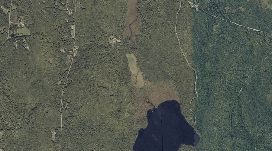
North Pond is a lake in Franklin County, Maine, located about 34.2 miles east-northeast of Chapman Inn in Bethel, Maine. It appears on the USGS Farmington Falls topographic…
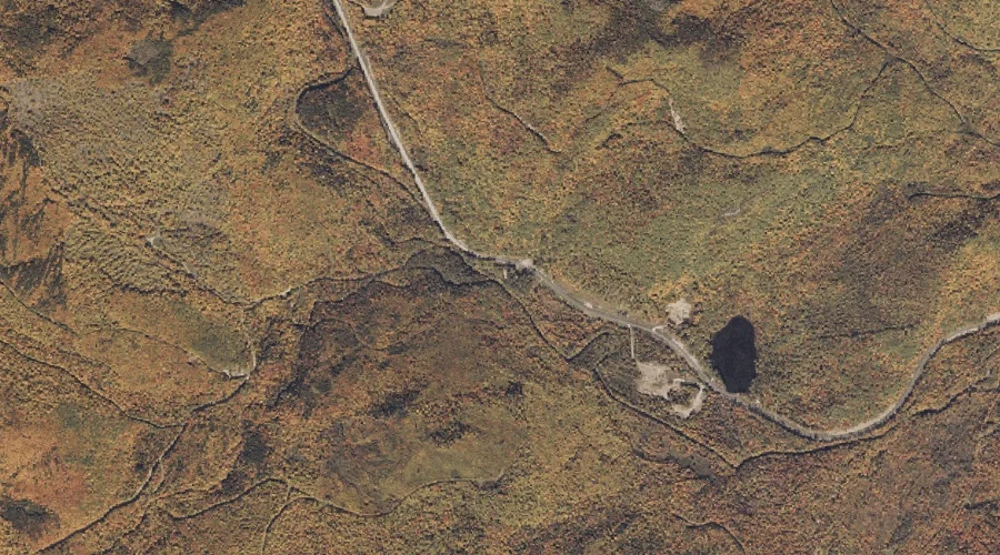
Stetson Pond is a lake in Franklin County, Maine, located about 34.3 miles north-northeast of Chapman Inn in Bethel, Maine. It appears on the USGS Madrid topographic quadrangle.
Chandler Mill Stream is a stream in Franklin County, Maine, located about 34.1 miles north-northeast of Chapman Inn in Bethel, Maine. It appears on the USGS Jackson Mountain…
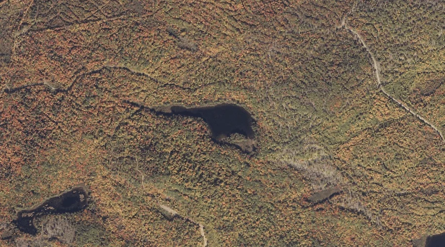
Lufkin Pond is a lake in Franklin County, Maine, located about 34.1 miles north-northeast of Chapman Inn in Bethel, Maine. It appears on the USGS Madrid topographic quadrangle.
Smalls Falls is a waterfall in Franklin County, Maine, located about 34.1 miles north-northeast of Chapman Inn in Bethel, Maine. It appears on the USGS Jackson Mountain topographic…
Drury Pond is a lake in Franklin County, Maine, located about 34.0 miles northeast of Chapman Inn in Bethel, Maine. It appears on the USGS Farmington topographic quadrangle.
Sylvester Hill is a summit in Franklin County, Maine, located about 33.9 miles northeast of Chapman Inn in Bethel, Maine. It appears on the USGS Phillips topographic quadrangle.
Voter Hill is a summit in Franklin County, Maine, located about 33.9 miles east-northeast of Chapman Inn in Bethel, Maine. It appears on the USGS Farmington topographic quadrangle.