 Aerial imagery: USGS National Map (public domain)
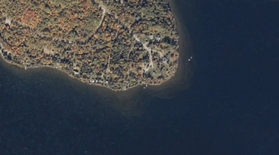
Bonney Point — Capes 38.0 Miles N of Chapman Inn
Franklin County, Maine · USGS Rangeley Quadrangle · GNIS 562732
Catalogued on the USGS Rangeley quadrangle in Franklin County, Maine, Bonney Point — a cape — lies 38.0 miles north of Chapman Inn.
Wikidata short description: “cape in Franklin County, Maine, United States of America”
Landmark Profile
Classification & USGS reference
Catalogued under GNIS Feature ID 562732, Bonney Point is recorded as a cape on the USGS Rangeley quadrangle in Franklin County, Maine (FIPS 23/007). Catalogued in GNIS since 09/30/1980.
Coordinates & physical setting
Bonney Point sits at 44.95367° N, 70.73562° W (DMS 44°57′13″ N, 70°44′08″ W).
Features on the USGS Rangeley Quadrangle
The Rangeley 7.5-minute topographic quadrangle holds 28 catalogued natural features alongside Bonney Point. A sampling nearest to this location:
| Feature | Type | County | Offset |
|---|---|---|---|
| Smith Cove | Bays | Franklin County, ME | 0.3 mi |
| South Bog Islands | Islands | Franklin County, ME | 1 mi |
| Hunter Cove | Bays | Franklin County, ME | 1.2 mi |
| South Bog Stream | Streams | Franklin County, ME | 1.6 mi |
| South Bog | Swamps | Franklin County, ME | 1.8 mi |
| Quimby Brook | Streams | Franklin County, ME | 1.8 mi |
| Rangeley Lake | Reservoirs | Franklin County, ME | 2.1 mi |
| Dodge Pond | Reservoirs | Franklin County, ME | 2.3 mi |
| Quimby Pond | Lakes | Franklin County, ME | 2.4 mi |
| South Cove | Bays | Franklin County, ME | 2.6 mi |
Visiting from Chapman Inn
Distance, bearing & drive time
A 65-minute drive along back roads separates the front door of Chapman Inn from Bonney Point — 38.0 miles north as the crow flies, on compass bearing N.
Best time to visit
Generally accessible May through October; winter access depends on snow cover. Being this far north (lat 44.954°), first snows typically arrive by mid-October and linger into early May — narrow the window accordingly. At 38.0 miles from the Inn, block the full day — sunrise start, late return, packed meals. Conditions at Bonney Point track the nearby Smith Cove bay (0.3 mi away) closely — if that is runnable, so is this.
Nearest features to Bonney Point
| Feature | Type | County | Distance |
|---|---|---|---|
| Smith Cove | Bays | Franklin County, ME | 0.3 mi |
| South Bog Islands | Islands | Franklin County, ME | 1 mi |
| Hunter Cove | Bays | Franklin County, ME | 1.2 mi |
| South Bog Stream | Streams | Franklin County, ME | 1.6 mi |
| Rangeley River | Streams | Franklin County, ME | 1.7 mi |
Frequently Asked Questions
Where is Bonney Point located?
Bonney Point is in Franklin County, Maine, approximately 38.0 miles north of Chapman Inn in Bethel, Maine. It appears on the USGS Rangeley topographic quadrangle.
How far is Bonney Point from Chapman Inn?
The drive runs about 65 minutes, 38.0 miles north (bearing N) of the Inn.
What type of natural feature is Bonney Point?
The U.S. Geological Survey classifies Bonney Point as a cape, catalogued under GNIS Feature ID 562732 on the Rangeley quadrangle.
When is the best time to visit Bonney Point?
Generally accessible May through October; winter access depends on snow cover.
Wikidata: Q34680026.