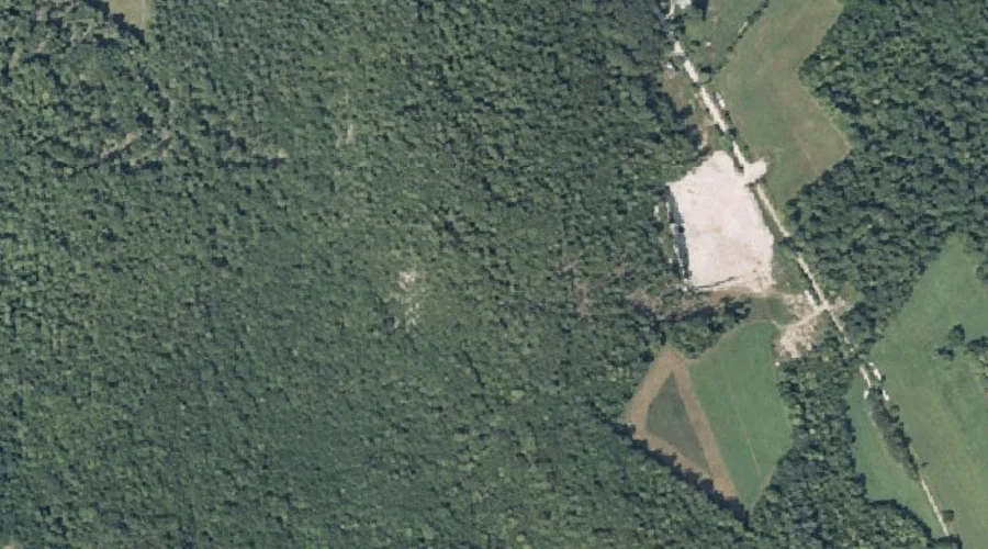
True Hill is a summit in Franklin County, Maine, located about 41.1 miles northeast of Chapman Inn in Bethel, Maine. It appears on the USGS Strong topographic quadrangle.
Muddy Brook is a stream in Franklin County, Maine, located about 40.9 miles east-northeast of Chapman Inn in Bethel, Maine. It appears on the USGS New Sharon topographic…
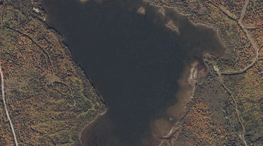
Nutting Pond is a lake in Franklin County, Maine, located about 40.9 miles north of Chapman Inn in Bethel, Maine. It appears on the USGS Oquossoc topographic quadrangle.
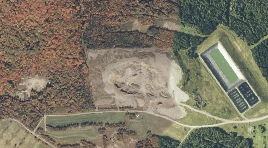
Mosher Pond is a reservoir in Franklin County, Maine, located about 41.0 miles northeast of Chapman Inn in Bethel, Maine. It appears on the USGS New Sharon topographic…
Cape Cod Hill is a summit in Franklin County, Maine, located about 40.8 miles east-northeast of Chapman Inn in Bethel, Maine. It appears on the USGS Farmington Falls…
Chick Hill is a summit in Franklin County, Maine, located about 40.8 miles north of Chapman Inn in Bethel, Maine. It appears on the USGS Rangeley topographic quadrangle.
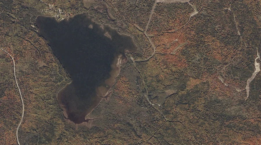
Saddleback Lake is a reservoir in Franklin County, Maine, located about 40.7 miles north-northeast of Chapman Inn in Bethel, Maine. It appears on the USGS Saddleback Mountain topographic…
Haley Brook is a stream in Franklin County, Maine, located about 40.7 miles north-northeast of Chapman Inn in Bethel, Maine. It appears on the USGS Saddleback Mountain topographic…
Burnham Hill is a summit in Franklin County, Maine, located about 40.5 miles north of Chapman Inn in Bethel, Maine. It appears on the USGS Rangeley topographic quadrangle.
Leavitt Hill is a summit in Franklin County, Maine, located about 40.6 miles northeast of Chapman Inn in Bethel, Maine. It appears on the USGS Strong topographic quadrangle.