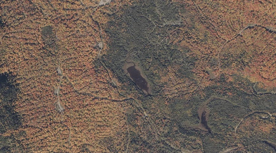
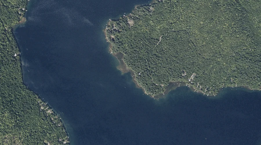
Beaver Bog is a lake in Franklin County, Maine, located about 41.7 miles north of Chapman Inn in Bethel, Maine. It appears on the USGS Kennebago Lake topographic…
Potato Hill is a summit in Franklin County, Maine, located about 41.7 miles north-northeast of Chapman Inn in Bethel, Maine. It appears on the USGS Redington topographic quadrangle.
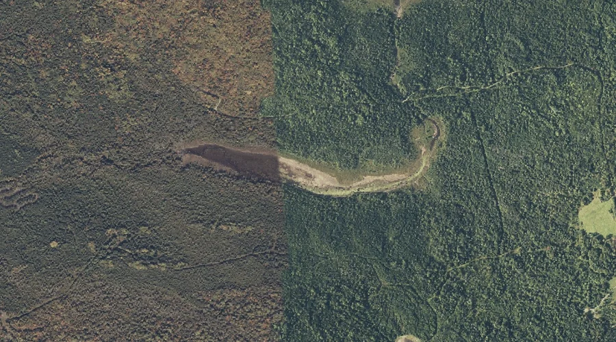
Cloutman Ridge is a ridge in Franklin County, Maine, located about 41.5 miles north of Chapman Inn in Bethel, Maine. It appears on the USGS Kennebago topographic quadrangle.
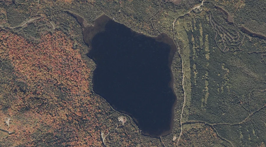
Secret Bog is a lake in Franklin County, Maine, located about 41.5 miles north of Chapman Inn in Bethel, Maine. It appears on the USGS Kennebago Lake topographic…
Saddleback Junior is a summit in Franklin County, Maine, located about 41.6 miles north-northeast of Chapman Inn in Bethel, Maine. It rises to 3,655 feet above sea level,…
Perk Pond is a lake in Franklin County, Maine, located about 41.6 miles north of Chapman Inn in Bethel, Maine. It appears on the USGS Kennebago Lake topographic…
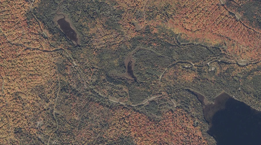
Clearwater Pond is a lake in Franklin County, Maine, located about 41.3 miles east-northeast of Chapman Inn in Bethel, Maine. It appears on the USGS New Sharon topographic…
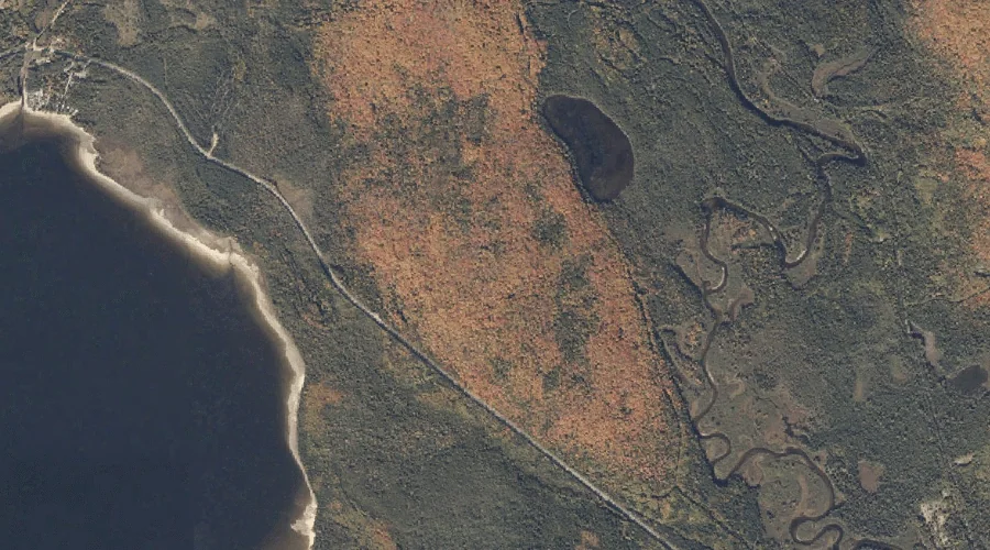
Round Pond is a lake in Franklin County, Maine, located about 41.1 miles north of Chapman Inn in Bethel, Maine. It appears on the USGS Rangeley topographic quadrangle.
True Hill is a summit in Franklin County, Maine, located about 41.1 miles northeast of Chapman Inn in Bethel, Maine. It appears on the USGS Strong topographic quadrangle.
Goodrich Brook is a stream in Franklin County, Maine, located about 41.1 miles east-northeast of Chapman Inn in Bethel, Maine. It appears on the USGS New Sharon topographic…