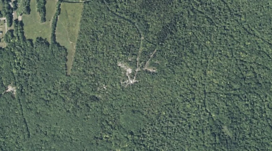
York Hill is a summit in Franklin County, Maine, located about 42.3 miles east-northeast of Chapman Inn in Bethel, Maine. It appears on the USGS Belgrade Lakes topographic…
Taylor Hill Pond is a lake in Franklin County, Maine, located about 42.3 miles northeast of Chapman Inn in Bethel, Maine. It appears on the USGS Strong topographic…
Mecham Hill is a summit in Franklin County, Maine, located about 42.2 miles north-northeast of Chapman Inn in Bethel, Maine. It appears on the USGS Redington topographic quadrangle.
Townsend Ridge is a ridge in Franklin County, Maine, located about 42.2 miles north of Chapman Inn in Bethel, Maine. It appears on the USGS Kennebago Lake topographic…
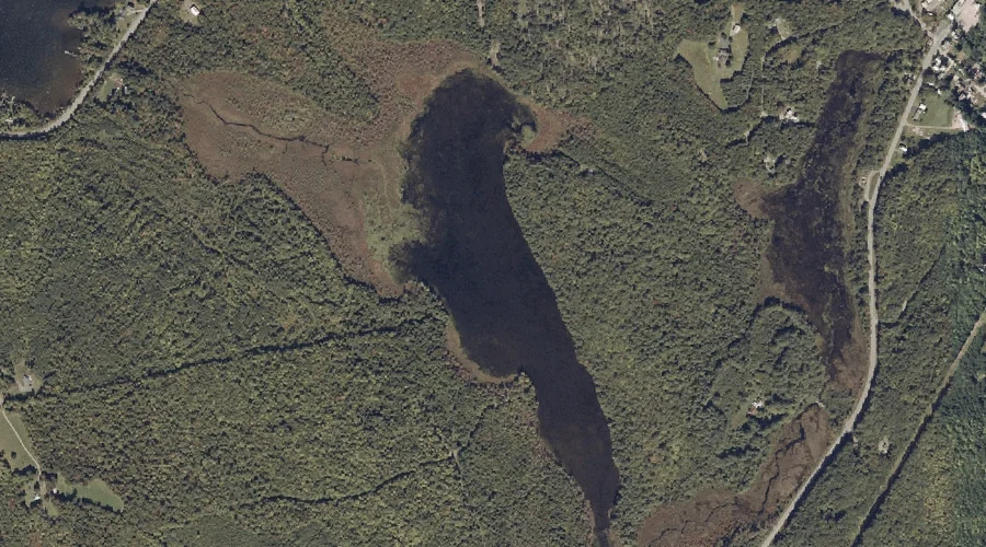
Lily Pond is a lake in Franklin County, Maine, located about 42.2 miles northeast of Chapman Inn in Bethel, Maine. It appears on the USGS Strong topographic quadrangle.
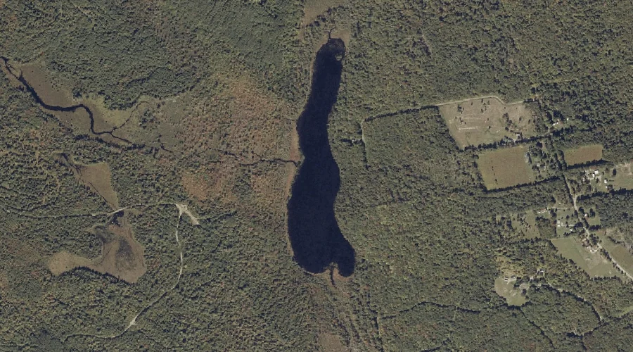
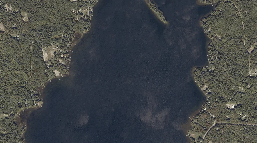
Porter Lake is a reservoir in Franklin County, Maine, located about 42.1 miles northeast of Chapman Inn in Bethel, Maine. It appears on the USGS Strong topographic quadrangle.
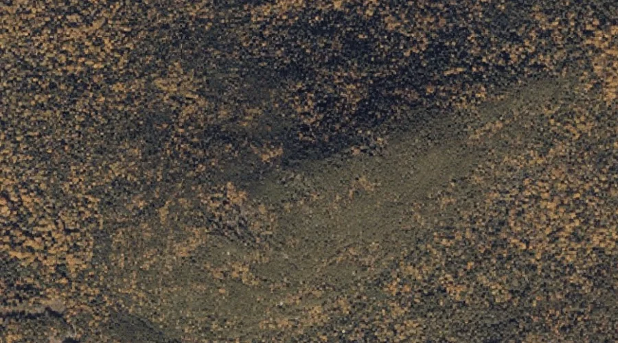
Potato Nubble is a summit in Franklin County, Maine, located about 42.1 miles north-northeast of Chapman Inn in Bethel, Maine. It appears on the USGS Saddleback Mountain topographic…
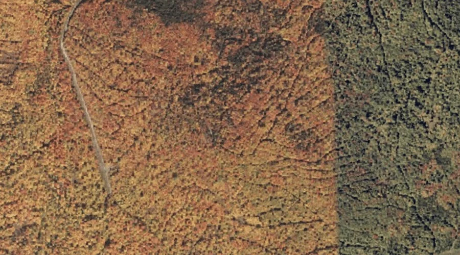
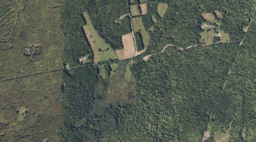
New Vineyard Basin is a basin in Franklin County, Maine, located about 41.9 miles northeast of Chapman Inn in Bethel, Maine. It appears on the USGS New Vineyard…
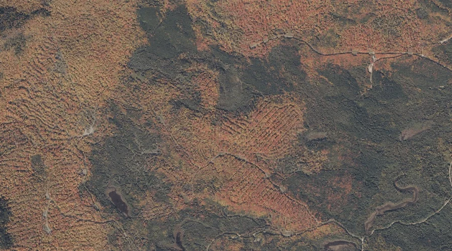
Gilkey Brook is a stream in Franklin County, Maine, located about 41.8 miles northeast of Chapman Inn in Bethel, Maine. It appears on the USGS Strong topographic quadrangle.
Cloutman Pond is a lake in Franklin County, Maine, located about 41.8 miles north of Chapman Inn in Bethel, Maine. It appears on the USGS Kennebago topographic quadrangle.