 Aerial imagery: USGS National Map (public domain)
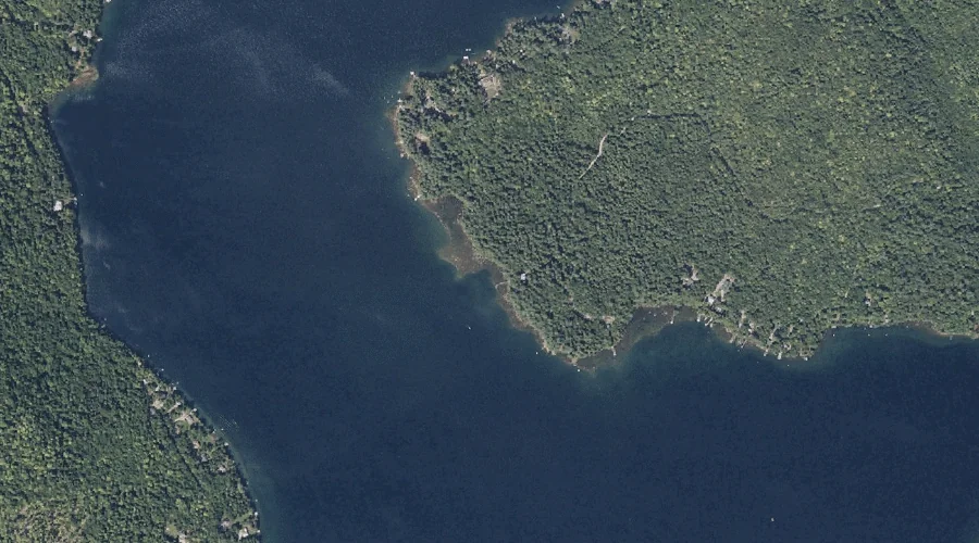
Clearwater Pond — Lakes 41.3 Miles ENE of Chapman Inn
Franklin County, Maine · USGS New Sharon Quadrangle · GNIS 564080
Within Franklin County, Maine, on the USGS New Sharon quadrangle, the lake known as Clearwater Pond sits 41.3 miles east-northeast of Chapman Inn.
Landmark Profile
Classification & USGS reference
Within Franklin County, Maine, the U.S. Geological Survey lists Clearwater Pond as a lake on the New Sharon topographic quadrangle (FIPS 23/007), under Feature ID 564080. Last revised by the Board on Geographic Names on 05/12/2018.
Coordinates & physical setting
Clearwater Pond sits at 44.73025° N, 70.08453° W (DMS 44°43′49″ N, 70°05′04″ W).
Other lakes in Franklin County, Maine
Franklin County, ME contains 98 lakes catalogued in the USGS Geographic Names Information System, counting Clearwater Pond itself. The ones closest to Clearwater Pond:
| Feature | USGS Quadrangle | Distance |
|---|---|---|
| Mill Pond | New Vineyard | 5.2 mi |
| Lily Pond | Strong | 5.4 mi |
| Ballard Pond | Farmington | 7 mi |
| Mud Pond | Farmington | 7.4 mi |
| Drury Pond | Farmington | 7.9 mi |
| Jessie Pond | Mount Blue | 8.2 mi |
| Taylor Hill Pond | Strong | 8.5 mi |
| Grants Pond | Mount Blue | 8.5 mi |
| Nash Pond | Strong | 8.6 mi |
| Day Mountain Pond | Strong | 8.7 mi |
Features on the USGS New Sharon Quadrangle
The New Sharon 7.5-minute topographic quadrangle holds 9 catalogued natural features alongside Clearwater Pond. A sampling nearest to this location:
| Feature | Type | County | Offset |
|---|---|---|---|
| Mosher Hill | Summits | Franklin County, ME | 1.1 mi |
| Mosher Pond | Reservoirs | Franklin County, ME | 1.6 mi |
| Bannock Mountain | Summits | Franklin County, ME | 2.2 mi |
| Perham Hill | Summits | Franklin County, ME | 2.7 mi |
| Goodrich Brook | Streams | Franklin County, ME | 3.1 mi |
| Muddy Brook | Streams | Franklin County, ME | 6.5 mi |
| Beales Brook | Streams | Franklin County, ME | 6.7 mi |
| Bragdon Brook | Streams | Franklin County, ME | 6.7 mi |
Visiting from Chapman Inn
Distance, bearing & drive time
Follow the compass bearing ENE out of Bethel for 41.3 miles (east-northeast) and you reach Clearwater Pond; at typical rural speeds the trip runs roughly 71 minutes.
Best time to visit
June through September for paddling and swimming; January through March for ice fishing. Being this far north (lat 44.730°), first snows typically arrive by mid-October and linger into early May — narrow the window accordingly. At 41.3 miles from the Inn, block the full day — sunrise start, late return, packed meals. Conditions at Clearwater Pond track the nearby Mosher Hill summit (1.1 mi away) closely — if that is runnable, so is this.
Nearest features to Clearwater Pond
| Feature | Type | County | Distance |
|---|---|---|---|
| Mosher Hill | Summits | Franklin County, ME | 1.1 mi |
| Mosher Pond | Reservoirs | Franklin County, ME | 1.6 mi |
| Bannock Mountain | Summits | Franklin County, ME | 2.2 mi |
| True Mountain | Summits | Franklin County, ME | 2.3 mi |
| Norton Mountain | Summits | Franklin County, ME | 2.4 mi |
Frequently Asked Questions
Where is Clearwater Pond located?
Clearwater Pond is in Franklin County, Maine, approximately 41.3 miles east-northeast of Chapman Inn in Bethel, Maine. It appears on the USGS New Sharon topographic quadrangle.
How far is Clearwater Pond from Chapman Inn?
The drive runs about 71 minutes, 41.3 miles east-northeast (bearing ENE) of the Inn.
What type of natural feature is Clearwater Pond?
The U.S. Geological Survey classifies Clearwater Pond as a lake, catalogued under GNIS Feature ID 564080 on the New Sharon quadrangle.
When is the best time to visit Clearwater Pond?
June through September for paddling and swimming; January through March for ice fishing.
How many other lakes are in Franklin County, Maine?
GNIS lists 97 other lakes in Franklin County, Maine.