Gile Logan is a lake in Franklin County, Maine, located about 42.6 miles north of Chapman Inn in Bethel, Maine. It appears on the USGS Kennebago Lake topographic…
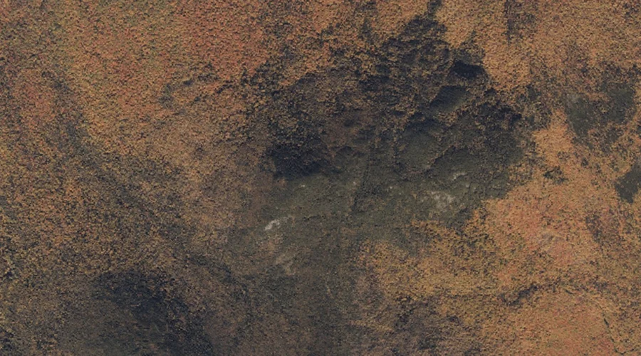
Ephraim Ridge is a ridge in Franklin County, Maine, located about 42.6 miles north of Chapman Inn in Bethel, Maine. It appears on the USGS Kennebago topographic quadrangle.
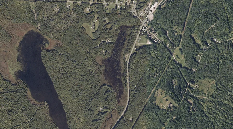
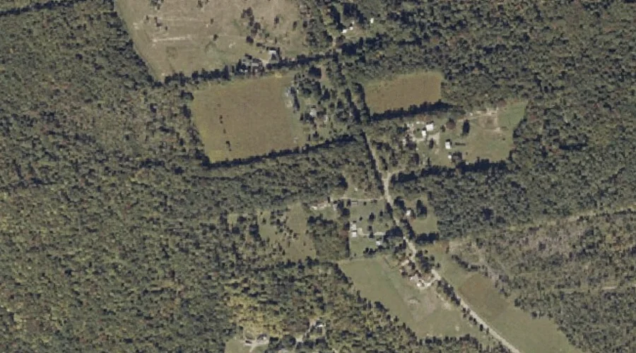
Mill Pond is a lake in Franklin County, Maine, located about 42.6 miles northeast of Chapman Inn in Bethel, Maine. It appears on the USGS New Vineyard topographic…
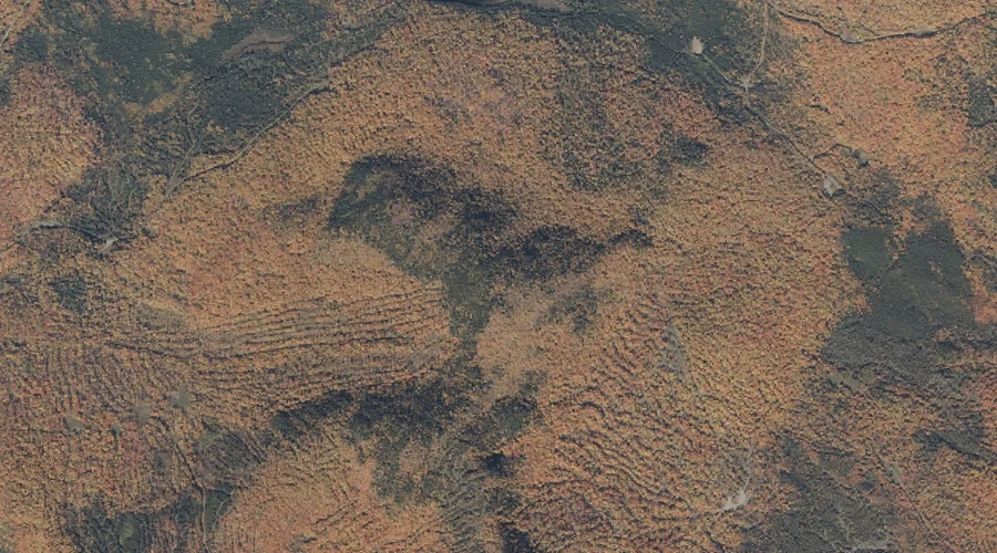
Poplar Ridge is a ridge in Franklin County, Maine, located about 42.6 miles north-northeast of Chapman Inn in Bethel, Maine. It appears on the USGS Redington topographic quadrangle.
Taylor Hill is a summit in Franklin County, Maine, located about 42.6 miles northeast of Chapman Inn in Bethel, Maine. It appears on the USGS Strong topographic quadrangle.
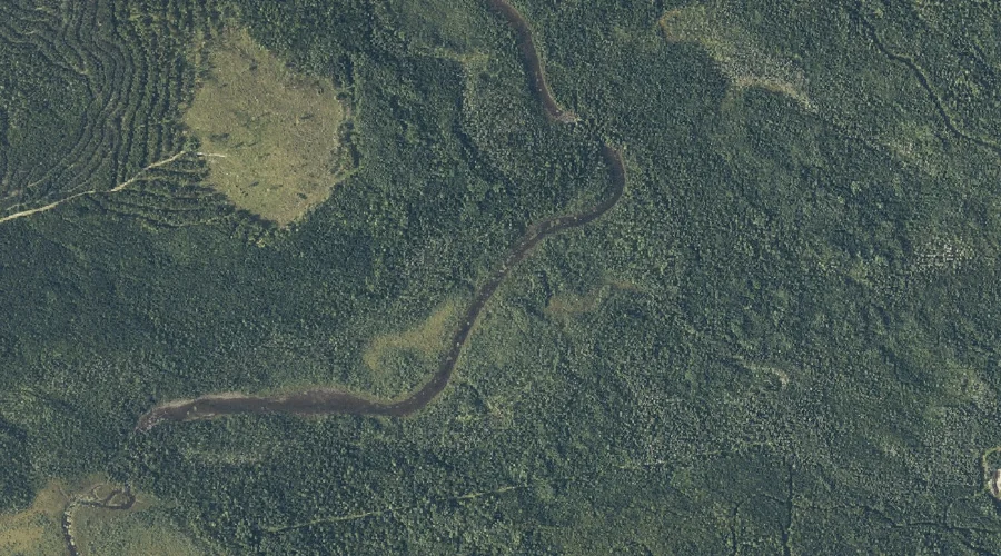
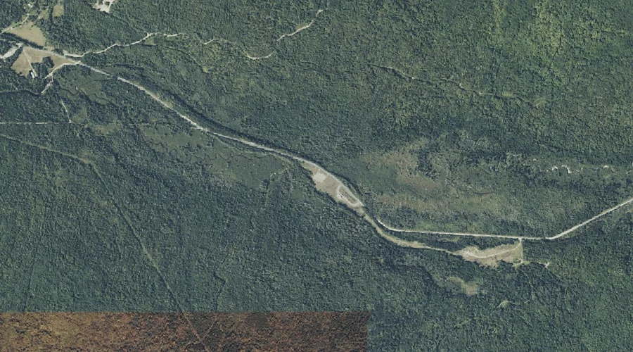
Cold Stream is a stream in Franklin County, Maine, located about 42.5 miles north-northeast of Chapman Inn in Bethel, Maine. It appears on the USGS Saddleback Mountain topographic…
Dead Stream is a stream in Franklin County, Maine, located about 42.5 miles northeast of Chapman Inn in Bethel, Maine. It appears on the USGS Strong topographic quadrangle.
Quick Stream is a stream in Franklin County, Maine, located about 42.4 miles northeast of Chapman Inn in Bethel, Maine. It appears on the USGS Mount Abraham topographic…
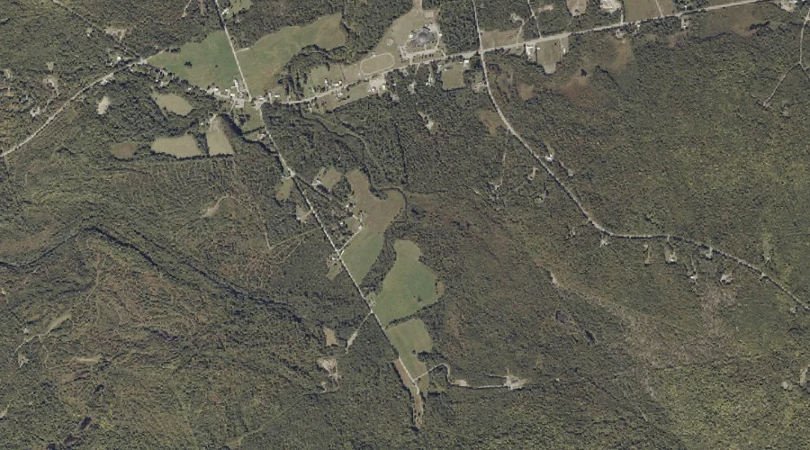
Norton Mountain is a summit in Franklin County, Maine, located about 42.4 miles northeast of Chapman Inn in Bethel, Maine. It appears on the USGS New Vineyard topographic…
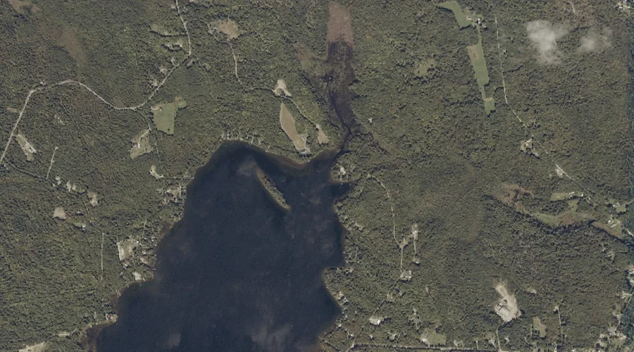
Lost Logan is a lake in Franklin County, Maine, located about 42.5 miles north of Chapman Inn in Bethel, Maine. It appears on the USGS Kennebago Lake topographic…