 Aerial imagery: USGS National Map (public domain)
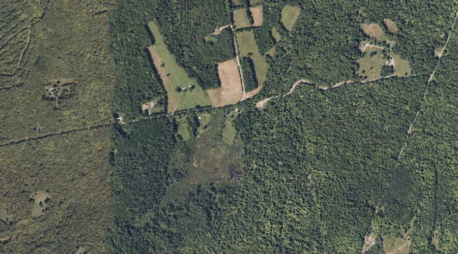
New Vineyard Basin — Basins 41.9 Miles NE of Chapman Inn
Franklin County, Maine · USGS New Vineyard Quadrangle · GNIS 572129
One of only 11 basins catalogued within the 80 km reach of Chapman Inn, New Vineyard Basin lies on the USGS New Vineyard quadrangle in Franklin County, Maine — 41.9 miles northeast of the Inn.
Landmark Profile
Classification & USGS reference
Within Franklin County, Maine, the U.S. Geological Survey lists New Vineyard Basin as a basin on the New Vineyard topographic quadrangle (FIPS 23/007), under Feature ID 572129. Catalogued in GNIS since 09/30/1980.
Coordinates & physical setting
New Vineyard Basin sits at 44.77422° N, 70.11256° W (DMS 44°46′27″ N, 70°06′45″ W).
Features on the USGS New Vineyard Quadrangle
The New Vineyard 7.5-minute topographic quadrangle holds 20 catalogued natural features alongside New Vineyard Basin. A sampling nearest to this location:
| Feature | Type | County | Offset |
|---|---|---|---|
| Norton Mountain | Summits | Franklin County, ME | 1.3 mi |
| New Vineyard Mountains | Summits | Franklin County, ME | 1.7 mi |
| Griffin Mountain | Summits | Franklin County, ME | 1.7 mi |
| True Mountain | Summits | Franklin County, ME | 1.9 mi |
| Mill Pond | Lakes | Franklin County, ME | 1.9 mi |
| Caswell Mountain | Summits | Franklin County, ME | 2.2 mi |
| Boardman Mountain | Summits | Franklin County, ME | 2.7 mi |
| Little Mountain | Summits | Franklin County, ME | 3.2 mi |
| Bauds Pond | Reservoirs | Franklin County, ME | 3.3 mi |
| Ick Norton Mountain | Summits | Franklin County, ME | 3.7 mi |
Ranking & rarity
- Among the 11 basins catalogued within 80 km of Chapman Inn, New Vineyard Basin ranks #4 by proximity to the Inn (closer than 64%).
- This is one of only 11 basins catalogued within Chapman Inn’s 80 km reach — a rare classification in the local landscape.
Visiting from Chapman Inn
Distance, bearing & drive time
Follow the compass bearing NE out of Bethel for 41.9 miles (northeast) and you reach New Vineyard Basin; at typical rural speeds the trip runs roughly 72 minutes.
Best time to visit
Late May through October; avoid black-fly peak in late May. Being this far north (lat 44.774°), first snows typically arrive by mid-October and linger into early May — narrow the window accordingly. At 41.9 miles from the Inn, block the full day — sunrise start, late return, packed meals. Conditions at New Vineyard Basin track the nearby Norton Mountain summit (1.3 mi away) closely — if that is runnable, so is this.
Nearest features to New Vineyard Basin
| Feature | Type | County | Distance |
|---|---|---|---|
| Norton Mountain | Summits | Franklin County, ME | 1.3 mi |
| Leavitt Hill | Summits | Franklin County, ME | 1.5 mi |
| New Vineyard Mountains | Summits | Franklin County, ME | 1.7 mi |
| Griffin Mountain | Summits | Franklin County, ME | 1.7 mi |
| True Mountain | Summits | Franklin County, ME | 1.9 mi |
Frequently Asked Questions
Where is New Vineyard Basin located?
New Vineyard Basin is in Franklin County, Maine, approximately 41.9 miles northeast of Chapman Inn in Bethel, Maine. It appears on the USGS New Vineyard topographic quadrangle.
How far is New Vineyard Basin from Chapman Inn?
The drive runs about 72 minutes, 41.9 miles northeast (bearing NE) of the Inn.
What type of natural feature is New Vineyard Basin?
The U.S. Geological Survey classifies New Vineyard Basin as a basin, catalogued under GNIS Feature ID 572129 on the New Vineyard quadrangle.
When is the best time to visit New Vineyard Basin?
Late May through October; avoid black-fly peak in late May.
How rare is basins as a classification near Chapman Inn?
Only 11 basins are catalogued within the 80 km radius of the Inn — a comparatively rare classification.
Wikidata: Q49338889.