 Aerial imagery: USGS National Map (public domain)
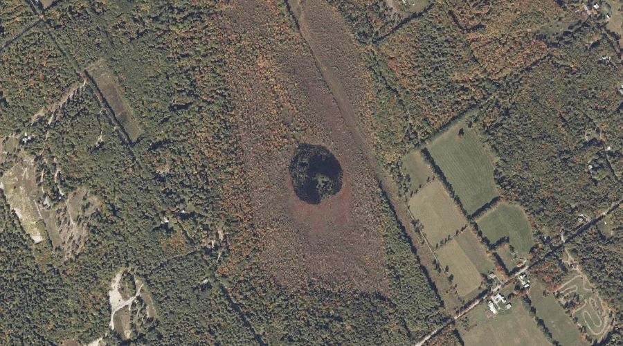
Bog Pond — Lakes 21.5 Miles SSE of Chapman Inn
Cumberland County, Maine · USGS Casco Quadrangle · GNIS 562687
Catalogued on the USGS Casco quadrangle in Cumberland County, Maine, Bog Pond — a lake — lies 21.5 miles south-southeast of Chapman Inn.
Landmark Profile
Classification & USGS reference
Catalogued under GNIS Feature ID 562687, Bog Pond is recorded as a lake on the USGS Casco quadrangle in Cumberland County, Maine (FIPS 23/005). Last revised by the Board on Geographic Names on 05/15/2018.
Coordinates & physical setting
Bog Pond sits at 44.11715° N, 70.62121° W (DMS 44°07′02″ N, 70°37′16″ W).
Other lakes in Cumberland County, Maine
Cumberland County, ME contains 47 lakes catalogued in the USGS Geographic Names Information System, counting Bog Pond itself. The ones closest to Bog Pond:
| Feature | USGS Quadrangle | Distance |
|---|---|---|
| Island Pond | Waterford Flat | 3.1 mi |
| Long Lake | Bridgton | 6.5 mi |
| Otter Pond | Bridgton | 7.1 mi |
| Beaver Pond | Pleasant Mountain | 8.3 mi |
| Owl Pond | Naples | 10 mi |
| Parker Pond | Naples | 10 mi |
| Holt Pond | North Sebago | 10.1 mi |
| The Heath | Mechanic Falls | 10.3 mi |
| Foster Pond | North Sebago | 10.9 mi |
| Hog Meadow Pond | Raymond | 11.1 mi |
Features on the USGS Casco Quadrangle
The Casco 7.5-minute topographic quadrangle holds 46 catalogued natural features alongside Bog Pond. A sampling nearest to this location:
| Feature | Type | County | Offset |
|---|---|---|---|
| Biglow Swamp | Swamps | Cumberland County, ME | 1 mi |
| Russell Brook | Streams | Cumberland County, ME | 2 mi |
| Big Hill | Summits | Oxford County, ME | 2.1 mi |
| Saturday Pond | Reservoirs | Oxford County, ME | 3 mi |
| Harlan Swamp | Swamps | Oxford County, ME | 3.3 mi |
| College Swamp | Swamps | Oxford County, ME | 3.5 mi |
| Porcupine Mountain | Summits | Oxford County, ME | 3.7 mi |
| Jackson Brook | Streams | Oxford County, ME | 3.8 mi |
| The Pinnacle | Summits | Oxford County, ME | 4.2 mi |
| Dyer Ice Pond | Lakes | Oxford County, ME | 4.5 mi |
Visiting from Chapman Inn
Distance, bearing & drive time
A 37-minute drive along back roads separates the front door of Chapman Inn from Bog Pond — 21.5 miles south-southeast as the crow flies, on compass bearing SSE.
Best time to visit
June through September for paddling and swimming; January through March for ice fishing. At this latitude (44.117°), the shoulder seasons are workable — April and November can be comfortable on mild years. At 21.5 miles from the Inn, plan on a comfortable day trip with time for lunch on the road. Conditions at Bog Pond track the nearby Summit Hill (0.6 mi away) closely — if that is runnable, so is this.
Nearest features to Bog Pond
| Feature | Type | County | Distance |
|---|---|---|---|
| Summit Hill | Summits | Cumberland County, ME | 0.6 mi |
| Biglow Swamp | Swamps | Cumberland County, ME | 1 mi |
| Hobbs Hill | Summits | Cumberland County, ME | 1.7 mi |
| Russell Brook | Streams | Cumberland County, ME | 2 mi |
| Big Hill | Summits | Oxford County, ME | 2.1 mi |
Frequently Asked Questions
Where is Bog Pond located?
Bog Pond is in Cumberland County, Maine, approximately 21.5 miles south-southeast of Chapman Inn in Bethel, Maine. It appears on the USGS Casco topographic quadrangle.
How far is Bog Pond from Chapman Inn?
The drive runs about 37 minutes, 21.5 miles south-southeast (bearing SSE) of the Inn.
What type of natural feature is Bog Pond?
The U.S. Geological Survey classifies Bog Pond as a lake, catalogued under GNIS Feature ID 562687 on the Casco quadrangle.
When is the best time to visit Bog Pond?
June through September for paddling and swimming; January through March for ice fishing.
How many other lakes are in Cumberland County, Maine?
GNIS lists 46 other lakes in Cumberland County, Maine.