 Aerial imagery: USGS National Map (public domain)
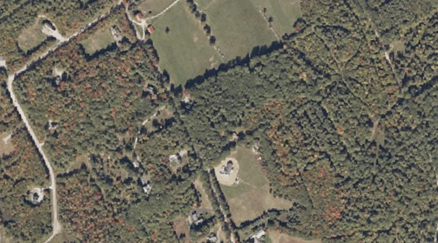
Brigham Hill — Summits 21.1 Miles S of Chapman Inn
Cumberland County, Maine · USGS Bridgton Quadrangle · GNIS 562964
Within Cumberland County, Maine, on the USGS Bridgton quadrangle, the summit known as Brigham Hill sits 21.1 miles south of Chapman Inn.
Landmark Profile
Classification & USGS reference
Within Cumberland County, Maine, the U.S. Geological Survey lists Brigham Hill as a summit on the Bridgton topographic quadrangle (FIPS 23/005), under Feature ID 562964. Last revised by the Board on Geographic Names on 06/04/2022.
Coordinates & physical setting
Brigham Hill sits at 44.10253° N, 70.72545° W (DMS 44°06′09″ N, 70°43′32″ W).
Other summits in Cumberland County, Maine
Cumberland County, ME contains 108 summits catalogued in the USGS Geographic Names Information System, counting Brigham Hill itself. The ones closest to Brigham Hill:
| Feature | USGS Quadrangle | Elevation | Distance |
|---|---|---|---|
| Sunset Rock | Bridgton | — | 2.4 mi |
| Town Farm Hill | Bridgton | — | 2.8 mi |
| Whitney Hill | Bridgton | — | 3.2 mi |
| Hobbs Hill | Bridgton | — | 3.6 mi |
| Ingalls Hill | Pleasant Mountain | — | 3.7 mi |
| Mount Henry | Bridgton | — | 4.6 mi |
| Summit Hill | Bridgton | — | 4.7 mi |
| Knight Hill | Pleasant Mountain | — | 5.9 mi |
| Packard Hill | Bridgton | — | 6.3 mi |
| Little Mountain | Pleasant Mountain | — | 6.6 mi |
Features on the USGS Bridgton Quadrangle
The Bridgton 7.5-minute topographic quadrangle holds 49 catalogued natural features alongside Brigham Hill. A sampling nearest to this location:
| Feature | Type | County | Offset |
|---|---|---|---|
| Upper Ridge | Ridges | Cumberland County, ME | 0.6 mi |
| Knolls Point | Capes | Cumberland County, ME | 1.4 mi |
| Oak Knoll Island | Islands | Cumberland County, ME | 1.4 mi |
| Penny Island | Islands | Cumberland County, ME | 1.5 mi |
| Fowler Island | Islands | Cumberland County, ME | 1.5 mi |
| Smith Brook | Streams | Cumberland County, ME | 1.6 mi |
| Highland Lake | Reservoirs | Cumberland County, ME | 1.6 mi |
| Bells Point | Capes | Cumberland County, ME | 1.8 mi |
| Rodgers Brook | Streams | Cumberland County, ME | 1.9 mi |
| Bear River | Streams | Cumberland County, ME | 2 mi |
Visiting from Chapman Inn
Distance, bearing & drive time
Follow the compass bearing S out of Bethel for 21.1 miles (south) and you reach Brigham Hill; at typical rural speeds the trip runs roughly 36 minutes.
Best time to visit
Accessible May through November in most years. At this latitude (44.103°), the shoulder seasons are workable — April and November can be comfortable on mild years. At 21.1 miles from the Inn, plan on a comfortable day trip with time for lunch on the road. Conditions at Brigham Hill track the nearby Upper Ridge (0.6 mi away) closely — if that is runnable, so is this.
Nearest features to Brigham Hill
| Feature | Type | County | Distance |
|---|---|---|---|
| Upper Ridge | Ridges | Cumberland County, ME | 0.6 mi |
| Knolls Point | Capes | Cumberland County, ME | 1.4 mi |
| Oak Knoll Island | Islands | Cumberland County, ME | 1.4 mi |
| Penny Island | Islands | Cumberland County, ME | 1.5 mi |
| Fowler Island | Islands | Cumberland County, ME | 1.5 mi |
Frequently Asked Questions
Where is Brigham Hill located?
Brigham Hill is in Cumberland County, Maine, approximately 21.1 miles south of Chapman Inn in Bethel, Maine. It appears on the USGS Bridgton topographic quadrangle.
How far is Brigham Hill from Chapman Inn?
The drive runs about 36 minutes, 21.1 miles south (bearing S) of the Inn.
What type of natural feature is Brigham Hill?
The U.S. Geological Survey classifies Brigham Hill as a summit, catalogued under GNIS Feature ID 562964 on the Bridgton quadrangle.
When is the best time to visit Brigham Hill?
Accessible May through November in most years.
How many other summits are in Cumberland County, Maine?
GNIS lists 107 other summits in Cumberland County, Maine.