North Bald Cap is a summit in Coos County, New Hampshire, located about 14.7 miles west-northwest of Chapman Inn in Bethel, Maine. It appears on the USGS Shelburne…
Mount Winthrop is a summit in Coos County, New Hampshire, located about 14.8 miles west of Chapman Inn in Bethel, Maine. It appears on the USGS Shelburne topographic…
First Mountain is a summit in Coos County, New Hampshire, located about 14.9 miles west of Chapman Inn in Bethel, Maine. It appears on the USGS Shelburne topographic…
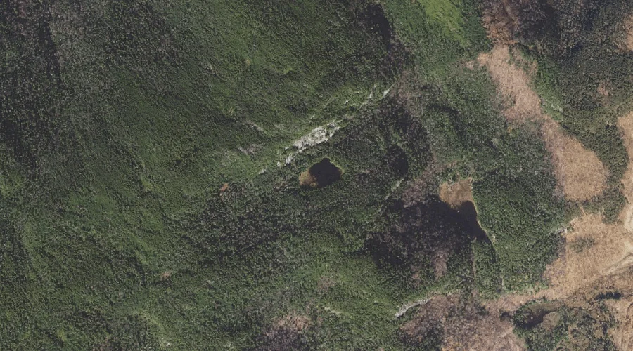
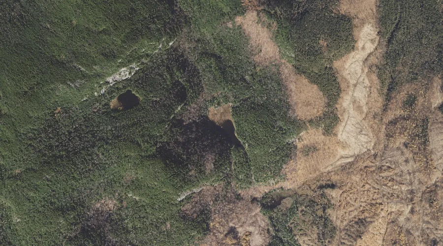
Upper Gentian Pond is a lake in Coos County, New Hampshire, located about 14.6 miles west-northwest of Chapman Inn in Bethel, Maine. It appears on the USGS Shelburne…
Bull Brook is a stream in Coos County, New Hampshire, located about 14.7 miles west-southwest of Chapman Inn in Bethel, Maine. It appears on the USGS Wild River…
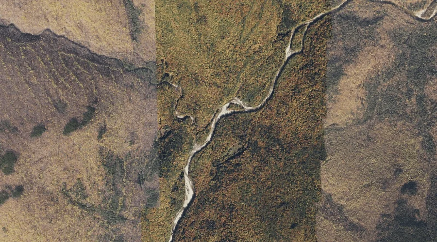
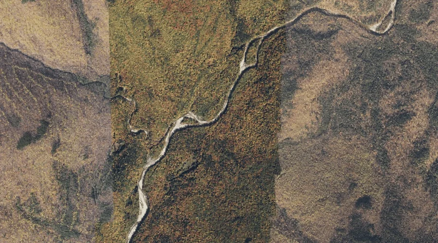
East Brook is a stream in Coos County, New Hampshire, located about 14.3 miles west of Chapman Inn in Bethel, Maine. It appears on the USGS Shelburne topographic…
Gentian Pond is a lake in Coos County, New Hampshire, located about 14.3 miles west-northwest of Chapman Inn in Bethel, Maine. It appears on the USGS Shelburne topographic…
Twin Brook is a stream in Coos County, New Hampshire, located about 14.4 miles west-southwest of Chapman Inn in Bethel, Maine. It appears on the USGS Wild River…
Howe Peak is a summit in Coos County, New Hampshire, located about 14.4 miles west-southwest of Chapman Inn in Bethel, Maine. It appears on the USGS Wild River…
Dryad Falls is a waterfall in Coos County, New Hampshire, located about 14.5 miles west of Chapman Inn in Bethel, Maine. It appears on the USGS Shelburne topographic…