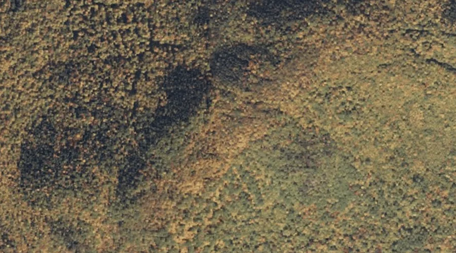
Stock Farm Mountain is a summit in Coos County, New Hampshire, located about 13.0 miles west of Chapman Inn in Bethel, Maine. It appears on the USGS Shelburne…
Mount Ingalls is a summit in Coos County, New Hampshire, located about 13.1 miles west of Chapman Inn in Bethel, Maine. It appears on the USGS Shelburne topographic…
Mount Success is a summit in Coos County, New Hampshire, located about 13.2 miles west-northwest of Chapman Inn in Bethel, Maine. It appears on the USGS Shelburne topographic…
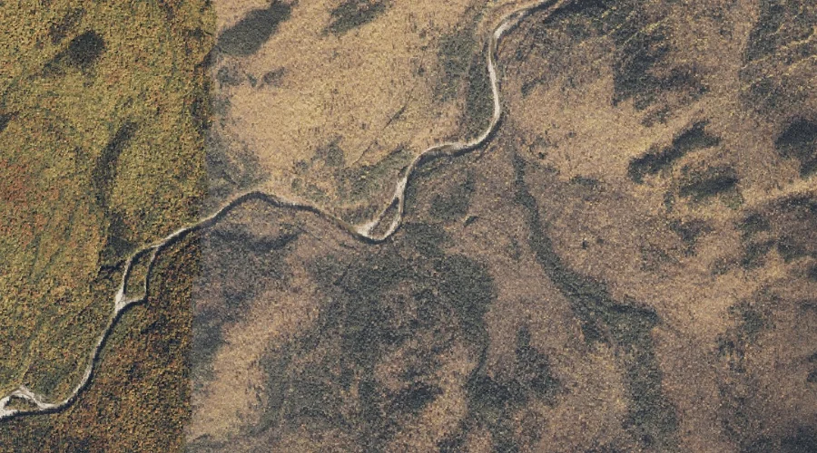
Dewdrop Brook is a stream in Coos County, New Hampshire, located about 13.2 miles west-southwest of Chapman Inn in Bethel, Maine. It appears on the USGS Wild River…
Evans Island is a island in Coos County, New Hampshire, located about 12.5 miles west of Chapman Inn in Bethel, Maine. It appears on the USGS Shelburne topographic…
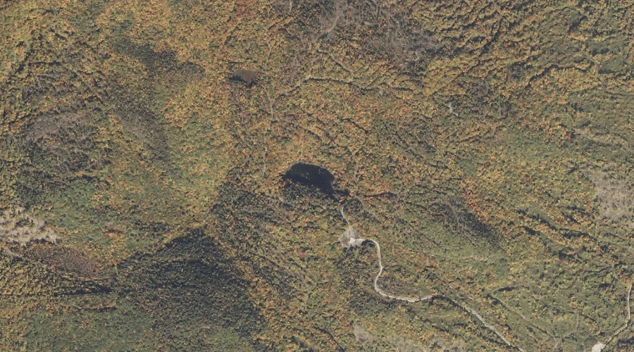
Judson Pond is a lake in Coos County, New Hampshire, located about 12.5 miles west of Chapman Inn in Bethel, Maine. It appears on the USGS Shelburne topographic…
Wheeler Pond is a lake in Coos County, New Hampshire, located about 12.0 miles west of Chapman Inn in Bethel, Maine. It appears on the USGS Shelburne topographic…
Crows Nest is a summit in Coos County, New Hampshire, located about 12.0 miles west of Chapman Inn in Bethel, Maine. It appears on the USGS Shelburne topographic…
Moose Pond is a lake in Coos County, New Hampshire, located about 12.2 miles west of Chapman Inn in Bethel, Maine. It appears on the USGS Shelburne topographic…
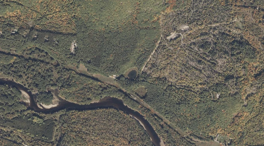
Ingalls Brook is a stream in Coos County, New Hampshire, located about 11.6 miles west of Chapman Inn in Bethel, Maine. It appears on the USGS Shelburne topographic…