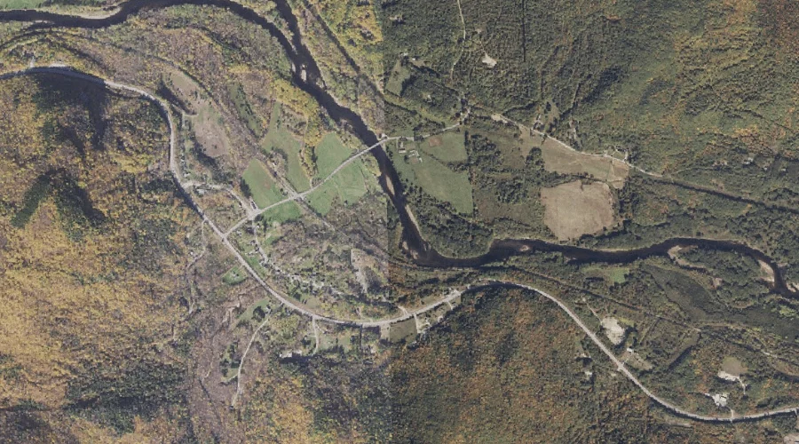
Dryad Brook is a stream in Coos County, New Hampshire, located about 14.0 miles west of Chapman Inn in Bethel, Maine. It appears on the USGS Shelburne topographic…
Mount Crag is a summit in Coos County, New Hampshire, located about 14.2 miles west of Chapman Inn in Bethel, Maine. It appears on the USGS Shelburne topographic…
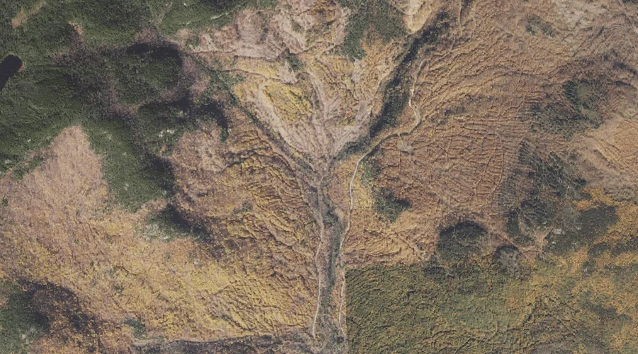
Gates Brook is a stream in Coos County, New Hampshire, located about 14.2 miles west of Chapman Inn in Bethel, Maine. It appears on the USGS Shelburne topographic…
The Outlook is a summit in Coos County, New Hampshire, located about 14.0 miles west-northwest of Chapman Inn in Bethel, Maine. It appears on the USGS Shelburne topographic…
Artist Rock is a summit in Coos County, New Hampshire, located about 13.6 miles west of Chapman Inn in Bethel, Maine. It appears on the USGS Shelburne topographic…
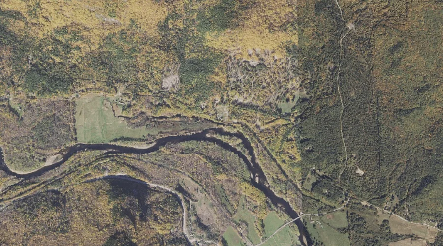
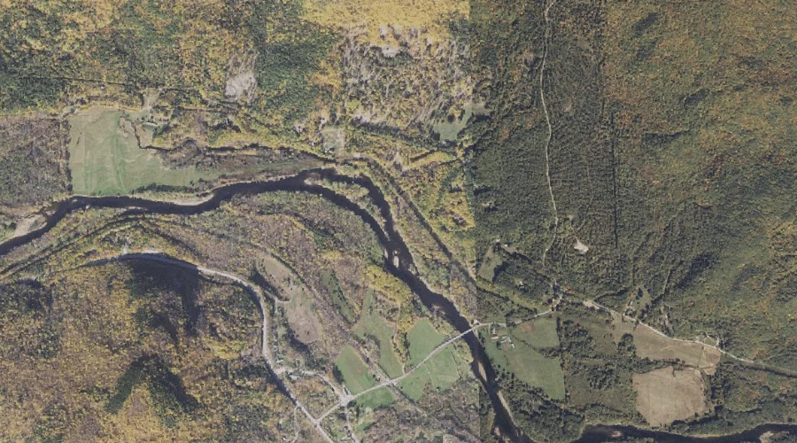
Martins Brook is a stream in Coos County, New Hampshire, located about 13.6 miles west-southwest of Chapman Inn in Bethel, Maine. It appears on the USGS Wild River…
Clement Brook is a stream in Coos County, New Hampshire, located about 13.7 miles west of Chapman Inn in Bethel, Maine. It appears on the USGS Shelburne topographic…
Austin Mill Brook is a stream in Coos County, New Hampshire, located about 14.0 miles west of Chapman Inn in Bethel, Maine. It appears on the USGS Shelburne…
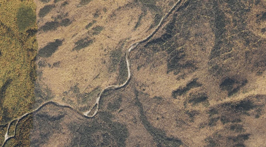
West Royce Mountain is a summit in Coos County, New Hampshire, located about 13.4 miles west-southwest of Chapman Inn in Bethel, Maine. It appears on the USGS Wild…
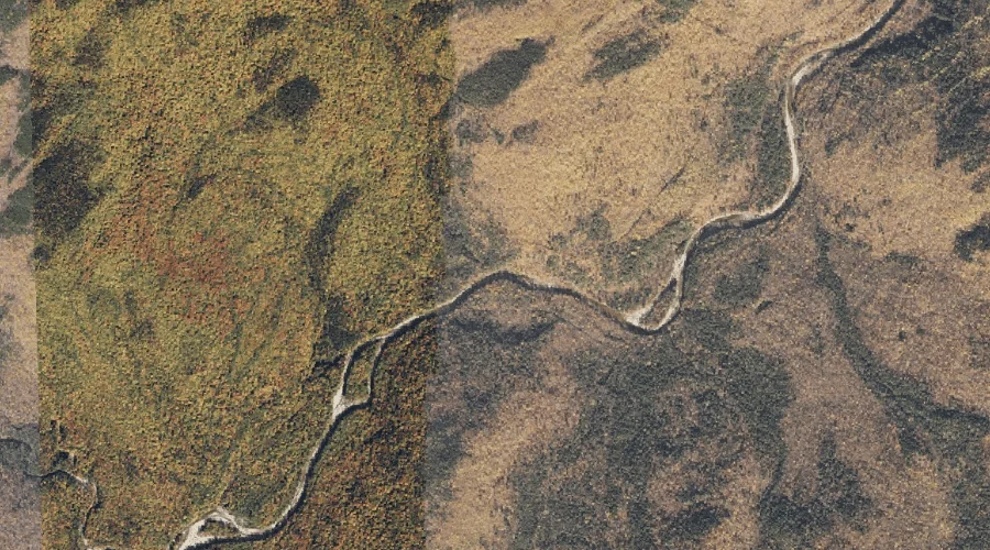
Burnt Mill Brook is a stream in Coos County, New Hampshire, located about 12.8 miles west-southwest of Chapman Inn in Bethel, Maine. It appears on the USGS Wild…