Reflection Pond is a lake in Coos County, New Hampshire, located about 16.6 miles west of Chapman Inn in Bethel, Maine. It appears on the USGS Shelburne topographic…
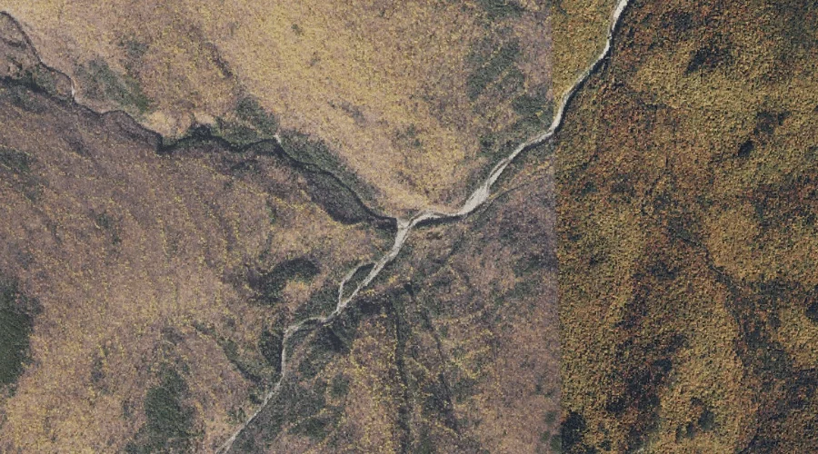
Leadmine Brook is a stream in Coos County, New Hampshire, located about 16.6 miles west of Chapman Inn in Bethel, Maine. It appears on the USGS Shelburne topographic…
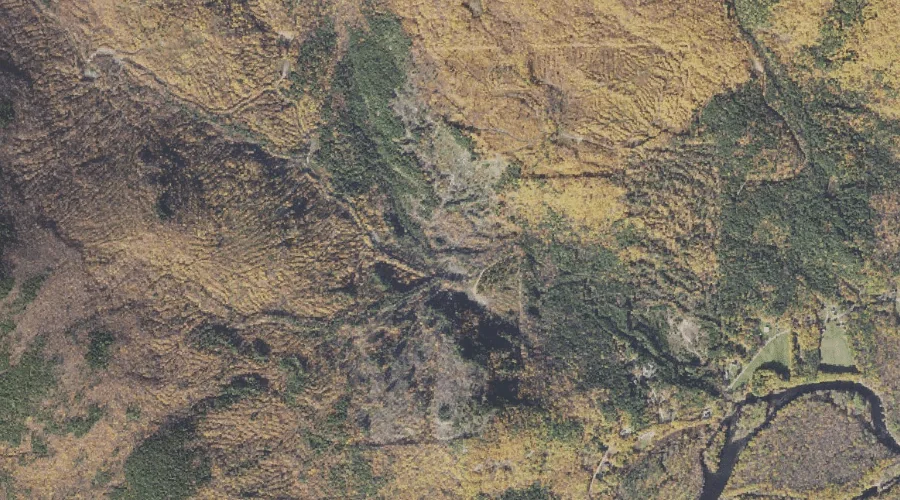
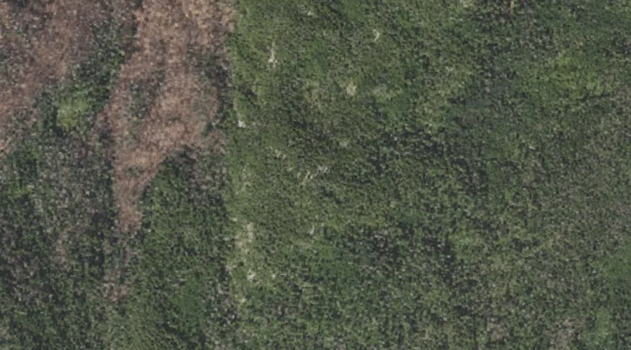
Mount Evans is a summit in Coos County, New Hampshire, located about 16.2 miles west of Chapman Inn in Bethel, Maine. It appears on the USGS Shelburne topographic…
Shadow Pool is a lake in Coos County, New Hampshire, located about 16.4 miles west of Chapman Inn in Bethel, Maine. It appears on the USGS Shelburne topographic…
Ragged Jacket is a summit in Coos County, New Hampshire, located about 15.9 miles southwest of Chapman Inn in Bethel, Maine. It appears on the USGS Wild River…
Rattle River is a stream in Coos County, New Hampshire, located about 15.9 miles west of Chapman Inn in Bethel, Maine. It appears on the USGS Shelburne topographic…
Moriah Brook is a stream in Coos County, New Hampshire, located about 16.0 miles west-southwest of Chapman Inn in Bethel, Maine. It appears on the USGS Wild River…
Wocket Ledge is a summit in Coos County, New Hampshire, located about 16.0 miles west of Chapman Inn in Bethel, Maine. It appears on the USGS Shelburne topographic…
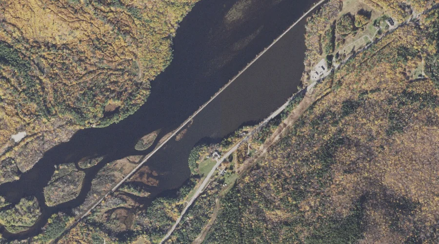
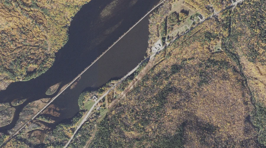
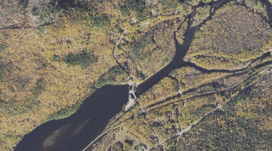
Androscoggin River Reservoir is a reservoir in Coos County, New Hampshire, located about 16.1 miles west of Chapman Inn in Bethel, Maine. It appears on the USGS Shelburne…
Mount Meader is a summit in Coos County, New Hampshire, located about 16.1 miles southwest of Chapman Inn in Bethel, Maine. It appears on the USGS Wild River…