 Aerial imagery: USGS National Map (public domain)
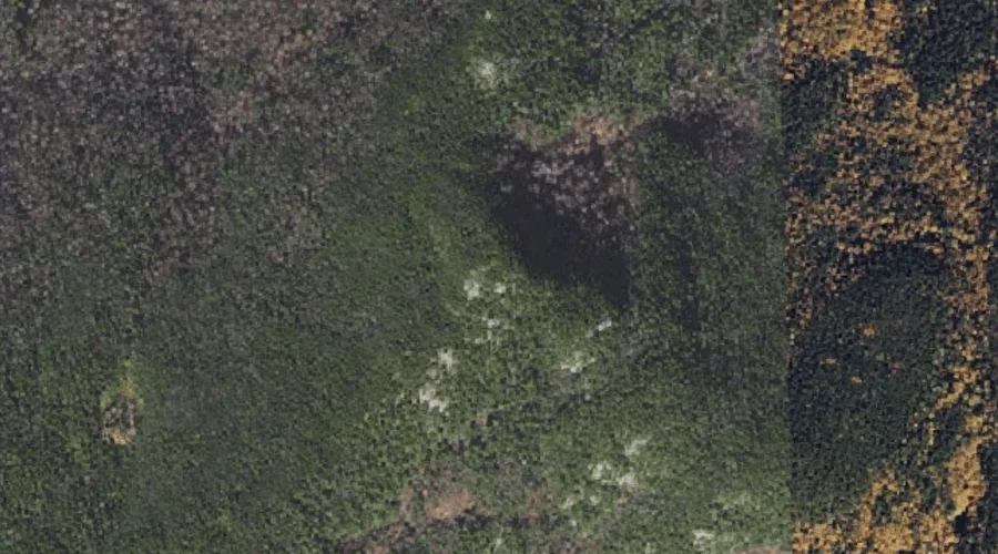
Howe Peak — Summits 14.4 Miles WSW of Chapman Inn
Coos County, New Hampshire · USGS Wild River Quadrangle · GNIS 872055
14.4 miles west-southwest of Chapman Inn, on the USGS Wild River topographic quadrangle, Howe Peak is a summit recorded in Coos County, New Hampshire by the federal Geographic Names Information System.
Wikidata short description: “mountain in the United States of America”
Landmark Profile
Classification & USGS reference
The USGS Wild River 7.5-minute topographic quadrangle places Howe Peak in Coos County, New Hampshire (FIPS 33/007), classified as a summit in the federal GNIS (Feature ID 872055). Last revised by the Board on Geographic Names on 12/01/2020.
Coordinates & physical setting
Howe Peak sits at 44.35169° N, 71.07108° W (DMS 44°21′06″ N, 71°04′16″ W).
Other summits in Coos County, New Hampshire
Coos County, NH contains 226 summits catalogued in the USGS Geographic Names Information System, counting Howe Peak itself. The ones closest to Howe Peak:
| Feature | USGS Quadrangle | Elevation | Distance |
|---|---|---|---|
| Shelburne Moriah Mountain | Wild River | 3,734 ft | 1.4 mi |
| Stock Farm Mountain | Shelburne | — | 2.3 mi |
| Middle Moriah Mountain | Wild River | 3,755 ft | 2.5 mi |
| Artist Rock | Shelburne | — | 2.7 mi |
| Mount Moriah | Carter Dome | 4,049 ft | 3.1 mi |
| Mount Evans | Shelburne | — | 3.4 mi |
| Mount Winthrop | Shelburne | — | 3.5 mi |
| Mount Surprise | Carter Dome | — | 4.1 mi |
| Hark Hill | Shelburne | — | 4.1 mi |
| West Royce Mountain | Wild River | — | 4.3 mi |
Features on the USGS Wild River Quadrangle
The Wild River 7.5-minute topographic quadrangle holds 34 catalogued natural features alongside Howe Peak. A sampling nearest to this location:
| Feature | Type | County | Offset |
|---|---|---|---|
| Shelburne Moriah Mountain | Summits | Coos County, NH | 1.4 mi |
| Martins Brook | Streams | Coos County, NH | 2.2 mi |
| Bull Brook | Streams | Coos County, NH | 2.5 mi |
| Twin Brook | Streams | Coos County, NH | 2.5 mi |
| Middle Moriah Mountain | Summits | Coos County, NH | 2.5 mi |
| Dewdrop Brook | Streams | Coos County, NH | 2.6 mi |
| Burnt Mill Brook | Streams | Coos County, NH | 2.6 mi |
| Blue Brook | Streams | Coos County, NH | 3.1 mi |
| Pine Brook | Streams | Coos County, NH | 3.1 mi |
| Moriah George | Gaps | Coos County, NH | 3.5 mi |
Visiting from Chapman Inn
Distance, bearing & drive time
Chapman Inn sits 14.4 miles west-southwest (bearing WSW) of Howe Peak. At moderate back-road speeds the drive runs about 25 minutes — comfortably inside a half-day outing window after breakfast.
Best time to visit
Accessible May through November in most years. Being this far north (lat 44.352°), first snows typically arrive by mid-October and linger into early May — narrow the window accordingly. At 14.4 miles from the Inn, plan on a comfortable day trip with time for lunch on the road. Conditions at Howe Peak track the nearby Shelburne Moriah Mountain summit (1.4 mi away) closely — if that is runnable, so is this.
Nearest features to Howe Peak
| Feature | Type | County | Distance |
|---|---|---|---|
| Shelburne Moriah Mountain | Summits | Coos County, NH | 1.4 mi |
| Martins Brook | Streams | Coos County, NH | 2.2 mi |
| Stock Farm Mountain | Summits | Coos County, NH | 2.3 mi |
| Bull Brook | Streams | Coos County, NH | 2.5 mi |
| Twin Brook | Streams | Coos County, NH | 2.5 mi |
Frequently Asked Questions
Where is Howe Peak located?
Howe Peak is in Coos County, New Hampshire, approximately 14.4 miles west-southwest of Chapman Inn in Bethel, Maine. It appears on the USGS Wild River topographic quadrangle.
How far is Howe Peak from Chapman Inn?
The drive runs about 25 minutes, 14.4 miles west-southwest (bearing WSW) of the Inn.
What type of natural feature is Howe Peak?
The U.S. Geological Survey classifies Howe Peak as a summit, catalogued under GNIS Feature ID 872055 on the Wild River quadrangle.
When is the best time to visit Howe Peak?
Accessible May through November in most years.
How many other summits are in Coos County, New Hampshire?
GNIS lists 225 other summits in Coos County, New Hampshire.
Wikidata: Q34874576.