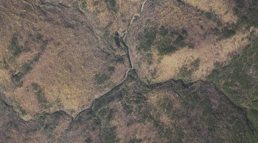
Red Brook is a stream in Coos County, New Hampshire, located about 17.7 miles west-northwest of Chapman Inn in Bethel, Maine. It appears on the USGS Shelburne topographic…
Cedar Brook is a stream in Coos County, New Hampshire, located about 17.6 miles west-southwest of Chapman Inn in Bethel, Maine. It appears on the USGS Wild River…
Cypress Brook is a stream in Coos County, New Hampshire, located about 17.4 miles west-southwest of Chapman Inn in Bethel, Maine. It appears on the USGS Wild River…
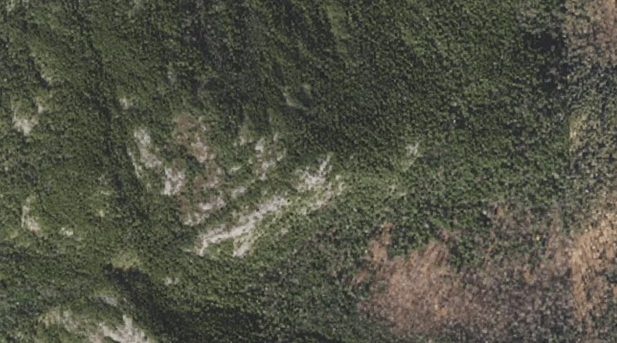
Eagle Crag is a rock pillar in Coos County, New Hampshire, located about 17.5 miles southwest of Chapman Inn in Bethel, Maine. It appears on the USGS Wild…
Stevens Point is a summit in Coos County, New Hampshire, located about 17.5 miles west of Chapman Inn in Bethel, Maine. It appears on the USGS Berlin topographic…
Mount Moriah is a summit in Coos County, New Hampshire, located about 17.5 miles west-southwest of Chapman Inn in Bethel, Maine. It rises to 4,049 feet above sea…
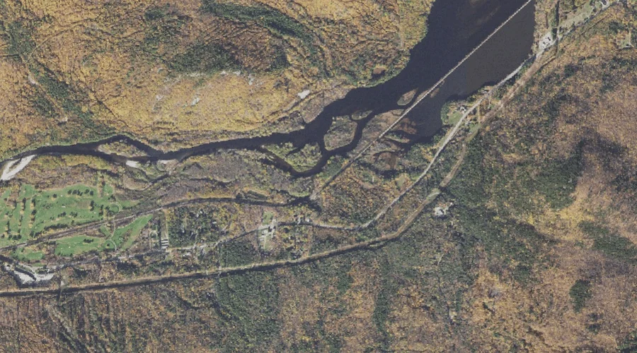
Success Pond is a lake in Coos County, New Hampshire, located about 17.0 miles northwest of Chapman Inn in Bethel, Maine. It appears on the USGS Success Pond…
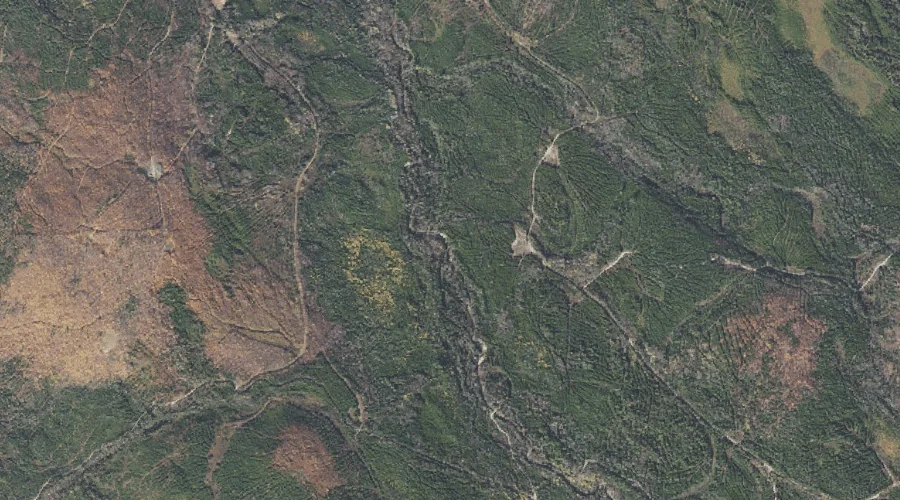
Josh Brook is a stream in Coos County, New Hampshire, located about 17.2 miles west of Chapman Inn in Bethel, Maine. It appears on the USGS Berlin topographic…
Success Hill is a summit in Coos County, New Hampshire, located about 17.2 miles northwest of Chapman Inn in Bethel, Maine. It appears on the USGS Success Pond…
Pea Brook is a stream in Coos County, New Hampshire, located about 17.2 miles west of Chapman Inn in Bethel, Maine. It appears on the USGS Berlin topographic…