Trident Pass is a mountain gap in Coos County, New Hampshire, located about 17.3 miles west of Chapman Inn in Bethel, Maine. It appears on the USGS Berlin…
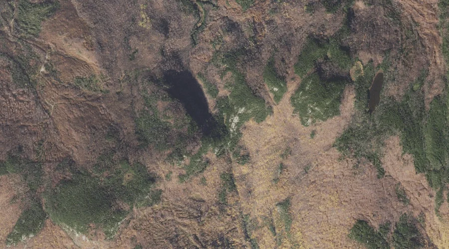
Success Pond is a lake in Coos County, New Hampshire, located about 17.0 miles northwest of Chapman Inn in Bethel, Maine. It appears on the USGS Success Pond…
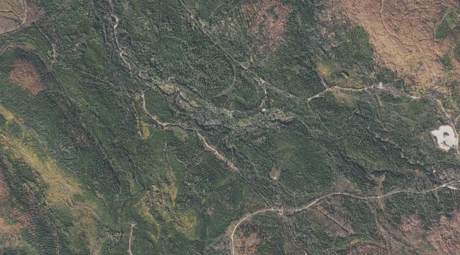
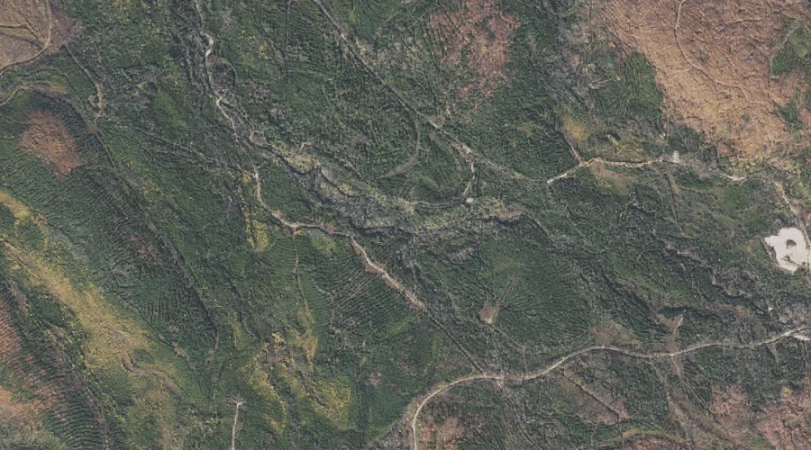
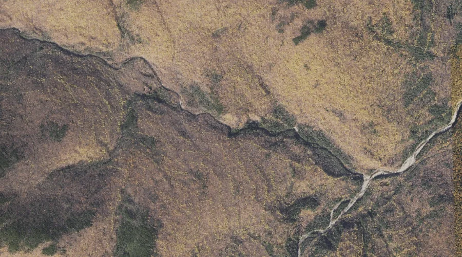
South Branch Horne Brook is a stream in Coos County, New Hampshire, located about 16.7 miles west-northwest of Chapman Inn in Bethel, Maine. It appears on the USGS…
North Branch Horne Brook is a stream in Coos County, New Hampshire, located about 16.7 miles west-northwest of Chapman Inn in Bethel, Maine. It appears on the USGS…
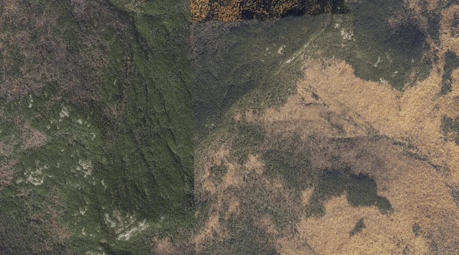
Walker Ridge is a ridge in Coos County, New Hampshire, located about 16.8 miles southwest of Chapman Inn in Bethel, Maine. It appears on the USGS Wild River…
Schoolhouse Brook is a stream in Coos County, New Hampshire, located about 16.8 miles west of Chapman Inn in Bethel, Maine. It appears on the USGS Berlin topographic…
Middle Moriah Mountain is a summit in Coos County, New Hampshire, located about 16.8 miles west-southwest of Chapman Inn in Bethel, Maine. It rises to 3,755 feet above…
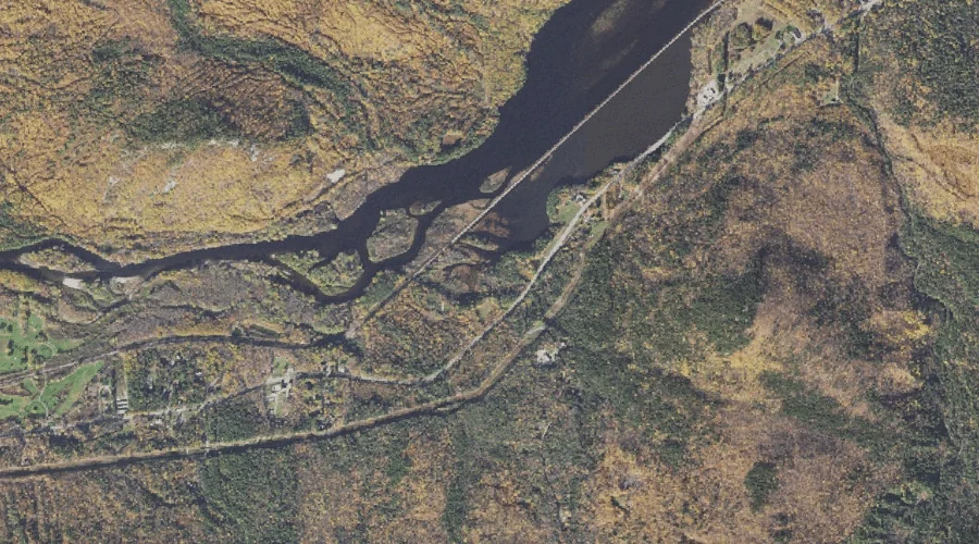
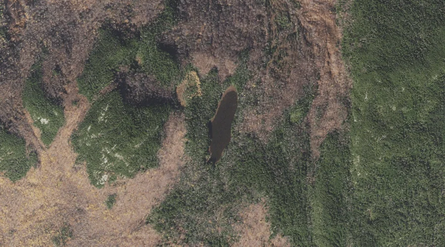
Keene Reservoir is a reservoir in Coos County, New Hampshire, located about 16.5 miles west-northwest of Chapman Inn in Bethel, Maine. It appears on the USGS Shelburne topographic…
Moriah George is a mountain gap in Coos County, New Hampshire, located about 16.5 miles west-southwest of Chapman Inn in Bethel, Maine. It appears on the USGS Wild…
Page Pond is a lake in Coos County, New Hampshire, located about 16.5 miles west of Chapman Inn in Bethel, Maine. It appears on the USGS Shelburne topographic…