 Aerial imagery: USGS National Map (public domain)
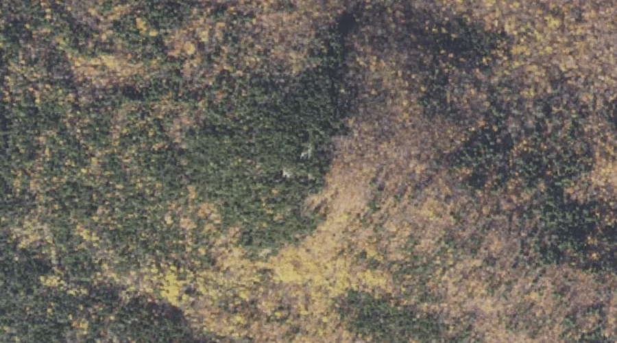
Mount Evans — Summits 16.2 Miles W of Chapman Inn
Coos County, New Hampshire · USGS Shelburne Quadrangle · GNIS 871871
Within Coos County, New Hampshire, on the USGS Shelburne quadrangle, the summit known as Mount Evans sits 16.2 miles west of Chapman Inn.
Landmark Profile
Classification & USGS reference
Within Coos County, New Hampshire, the U.S. Geological Survey lists Mount Evans as a summit on the Shelburne topographic quadrangle (FIPS 33/007), under Feature ID 871871. Last revised by the Board on Geographic Names on 11/24/2020.
Coordinates & physical setting
Mount Evans sits at 44.38950° N, 71.11619° W (DMS 44°23′22″ N, 71°06′58″ W).
Other summits in Coos County, New Hampshire
Coos County, NH contains 226 summits catalogued in the USGS Geographic Names Information System, counting Mount Evans itself. The ones closest to Mount Evans:
| Feature | USGS Quadrangle | Elevation | Distance |
|---|---|---|---|
| Stevens Point | Berlin | — | 1.4 mi |
| Mount Winthrop | Shelburne | — | 1.6 mi |
| Artist Rock | Shelburne | — | 2.6 mi |
| Mount Surprise | Carter Dome | — | 2.6 mi |
| Point Lookout | Berlin | — | 2.6 mi |
| Shelburne Moriah Mountain | Wild River | 3,734 ft | 2.7 mi |
| First Mountain | Shelburne | — | 2.7 mi |
| Middle Moriah Mountain | Wild River | 3,755 ft | 2.8 mi |
| Mount Hayes | Berlin | — | 2.8 mi |
| Middle Mountain | Shelburne | — | 2.9 mi |
Features on the USGS Shelburne Quadrangle
The Shelburne 7.5-minute topographic quadrangle holds 47 catalogued natural features alongside Mount Evans. A sampling nearest to this location:
| Feature | Type | County | Offset |
|---|---|---|---|
| Shadow Pool | Lakes | Coos County, NH | 0.5 mi |
| Reflection Pond | Lakes | Coos County, NH | 0.6 mi |
| Androscoggin River Reservoir | Reservoirs | Coos County, NH | 1.1 mi |
| Rattle River | Streams | Coos County, NH | 1.1 mi |
| Mount Winthrop | Summits | Coos County, NH | 1.6 mi |
| Peabody Brook | Streams | Coos County, NH | 1.6 mi |
| Leadmine Brook | Streams | Coos County, NH | 1.9 mi |
| East Brook | Streams | Coos County, NH | 1.9 mi |
| Gates Brook | Streams | Coos County, NH | 2.5 mi |
| Artist Rock | Summits | Coos County, NH | 2.6 mi |
Visiting from Chapman Inn
Distance, bearing & drive time
Follow the compass bearing W out of Bethel for 16.2 miles (west) and you reach Mount Evans; at typical rural speeds the trip runs roughly 28 minutes.
Best time to visit
Accessible May through November in most years. Being this far north (lat 44.389°), first snows typically arrive by mid-October and linger into early May — narrow the window accordingly. At 16.2 miles from the Inn, plan on a comfortable day trip with time for lunch on the road. Conditions at Mount Evans track the nearby Shadow Pool lake (0.5 mi away) closely — if that is runnable, so is this.
Nearest features to Mount Evans
| Feature | Type | County | Distance |
|---|---|---|---|
| Shadow Pool | Lakes | Coos County, NH | 0.5 mi |
| Reflection Pond | Lakes | Coos County, NH | 0.6 mi |
| Schoolhouse Brook | Streams | Coos County, NH | 0.7 mi |
| Josh Brook | Streams | Coos County, NH | 1 mi |
| Pea Brook | Streams | Coos County, NH | 1 mi |
Frequently Asked Questions
Where is Mount Evans located?
Mount Evans is in Coos County, New Hampshire, approximately 16.2 miles west of Chapman Inn in Bethel, Maine. It appears on the USGS Shelburne topographic quadrangle.
How far is Mount Evans from Chapman Inn?
The drive runs about 28 minutes, 16.2 miles west (bearing W) of the Inn.
What type of natural feature is Mount Evans?
The U.S. Geological Survey classifies Mount Evans as a summit, catalogued under GNIS Feature ID 871871 on the Shelburne quadrangle.
When is the best time to visit Mount Evans?
Accessible May through November in most years.
How many other summits are in Coos County, New Hampshire?
GNIS lists 225 other summits in Coos County, New Hampshire.